Cut Throat Island, Labrador
Photographs


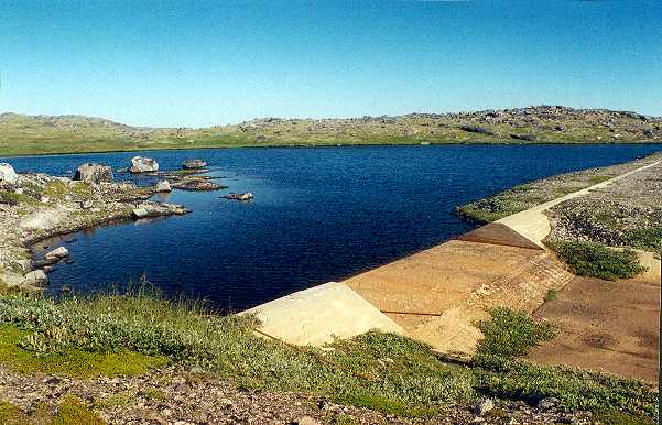
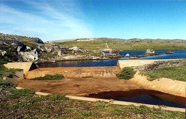
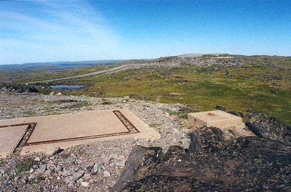
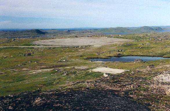
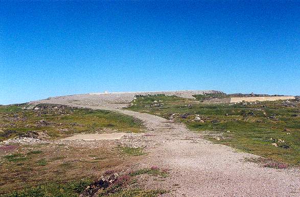
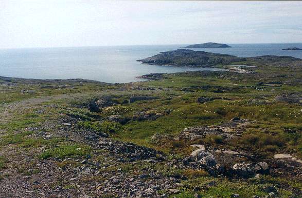
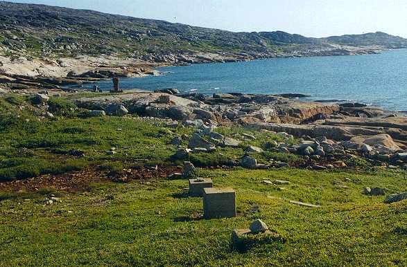
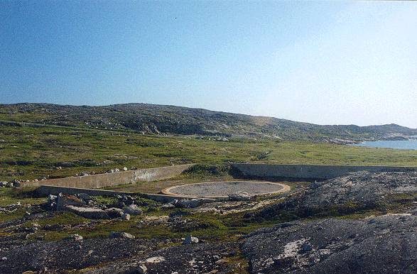
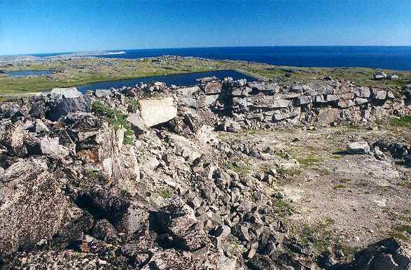
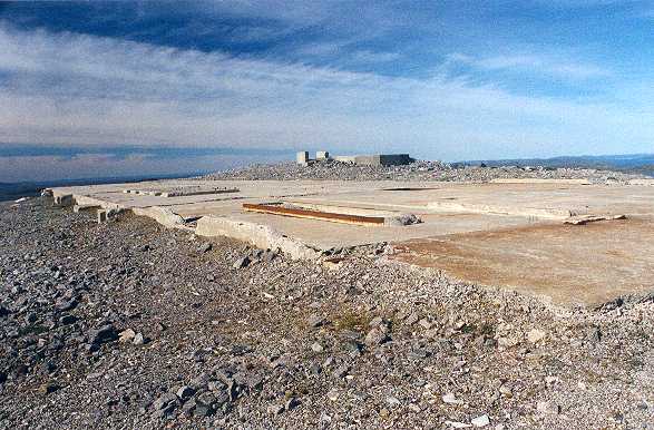
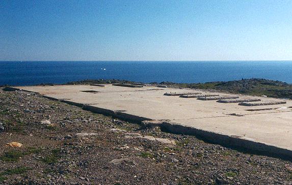
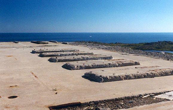
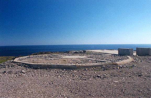
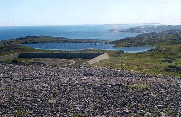
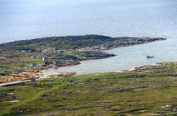
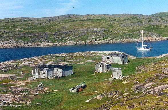
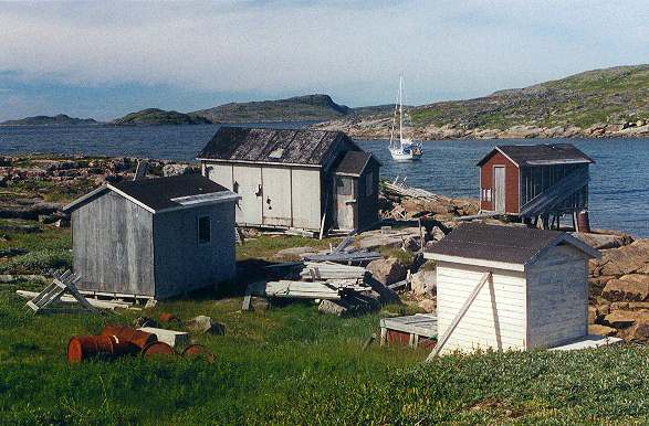
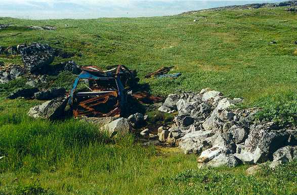
Tony Wright was kind enough to help us out by making a stop at Cut Throat Island and taking the pictures which are provided below. Tony has also written a small article which provides detail on his trip and his findings at Cut Throat Island. This article is available in the History Section for Cut Throat Island.


Click on the description text to view the photograph.

  1. Reservoir looking north from the spillway. The dam is in excellent condition - August 2000.
    Courtesy Tony Wright

  2. Reservoir spillway looking west towards the radome site - August 2000.
    Courtesy Tony Wright

  3. Looking west across the reservoir. You can see the pump house and water line foundations going up the hill - August 2000.
    Courtesy Tony Wright

  4. Road approaching the radome site. The foundation in the foreground is close to the 400 foot hill marked on the map on this website. It looks like the foundations of a communications building - August 2000.
    Courtesy Tony Wright

  5. Same foundation as photo 4. I think the small square foundation was for a communications tower - August 2000.
    Courtesy Tony Wright

  6. Looking west towards the helicopter pad. The small foundation in the middle is close to the "P" of the "Helicoper Pad" on the map - August 2000.
    Courtesy Tony Wright

  7. Looking west towards the helicoper pad. The square concrete block looks like a catch basin, perhaps for effluent - August 2000.
    Courtesy Tony Wright

  8. Road approaching the radome site at the top of the hill. There is a small concrete pad on the left of the tank foundation on the right - August 2000.
    Courtesy Tony Wright

  9. Looking south east down the road towards East Harbour where it looks like fuel and supplies were offloaded. The road is in excellent condition from top to bottom - August 2000.
    Courtesy Tony Wright

  10. Looking north towards East Harbour. You can see a large bollard for tying up supply ships and the foundations for the oil pipeline - August 2000.
    Courtesy Tony Wright

  11. Oil tank foundations near East Harbour - August 2000.
    Courtesy Tony Wright

  12. Onsite quarry near the top of the hill - August 2000.
    Courtesy Tony Wright

  13. Main building pad at the top of the hill looking south west. The radome foundations are in the background - August 2000.
    Courtesy Tony Wright

  14. Main building foundations looking north east - August 2000.
    Courtesy Tony Wright

  15. Main building foundations looking north east - August 2000.
    Courtesy Tony Wright

  16. Radome foundations - August 2000.
    Courtesy Tony Wright

  17. Tank foundations just below the top of the hill looking east across the reservoir - August 2000.
    Courtesy Tony Wright

  18. Cut Throat Harbour showing my sailboat Meriah at anchor - August 2000.
    Courtesy Tony Wright

  19. Deserted buildings in Cut Throat Harbour. Meriah at anchor - August 2000.
    Courtesy Tony Wright

  20. Deserted buildings in Cut Throat Harbour. Meriah at anchor - August 2000.
    Courtesy Tony Wright

  21. An abondoned car. The only sign of a road on the island is the one up to the radar site - August 2000.
    Courtesy Tony Wright


Photographic Credits

All photos are used with permission.


Return to the Details Page

Cartwright
Return to Top of Page

Updated: October 10, 2000