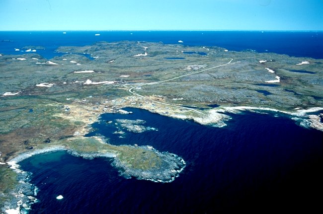
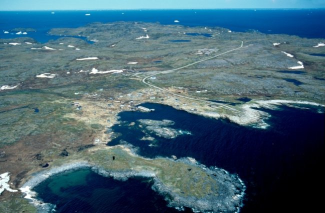
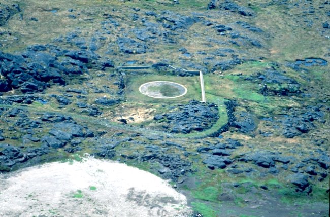
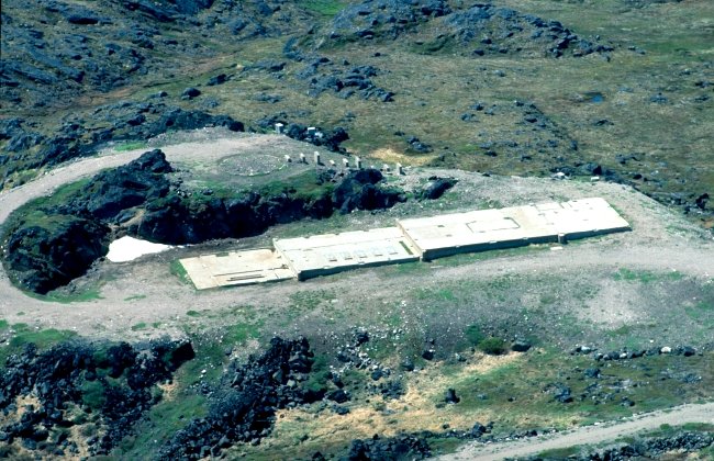
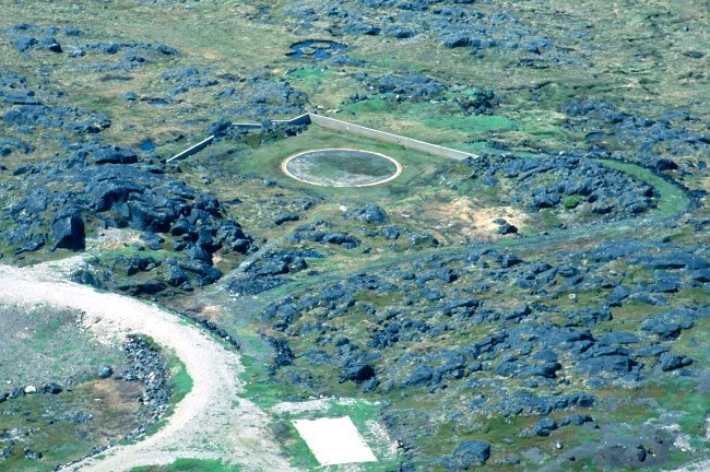
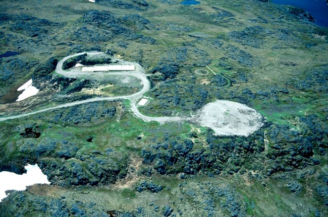
Aerial view of the foundation remains of the radar tower and the main building - July 2002.
Note the remains of the radar tower foundation (round) above the main building foundation. The piers (to the right) which have varying heights supported the enclosed hallway which connected the main building to the Radar Tower. The two piers above the radar tower supported the Tropospheric Scatter communications antennas.
Courtesy Paul Nopper.