Click on the description text to view the photograph.
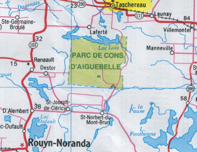
- Map showing the location of Taschereau north of Rouyn-Noranda - 29 May 2002.
Courtesy Ontario Ministry of Transportation.
- CADIN Gap Filler Program - 1 November 1963
Courtesy National Archives of Canada.
- Gap Filler Radar: Taschereau - 22 May 1963.
Courtesy National Archives of Canada.
- Land Acquisition: Site & Access Road - 2 August 1962
Courtesy National Archives of Canada.
- Reservation of Armco Steelox Components - 2 May 1961
Courtesy National Archives of Canada.
- Detail pertining to the Gap Filler site at Taschereau - 31 March 1961
Courtesy National Archives of Canada.
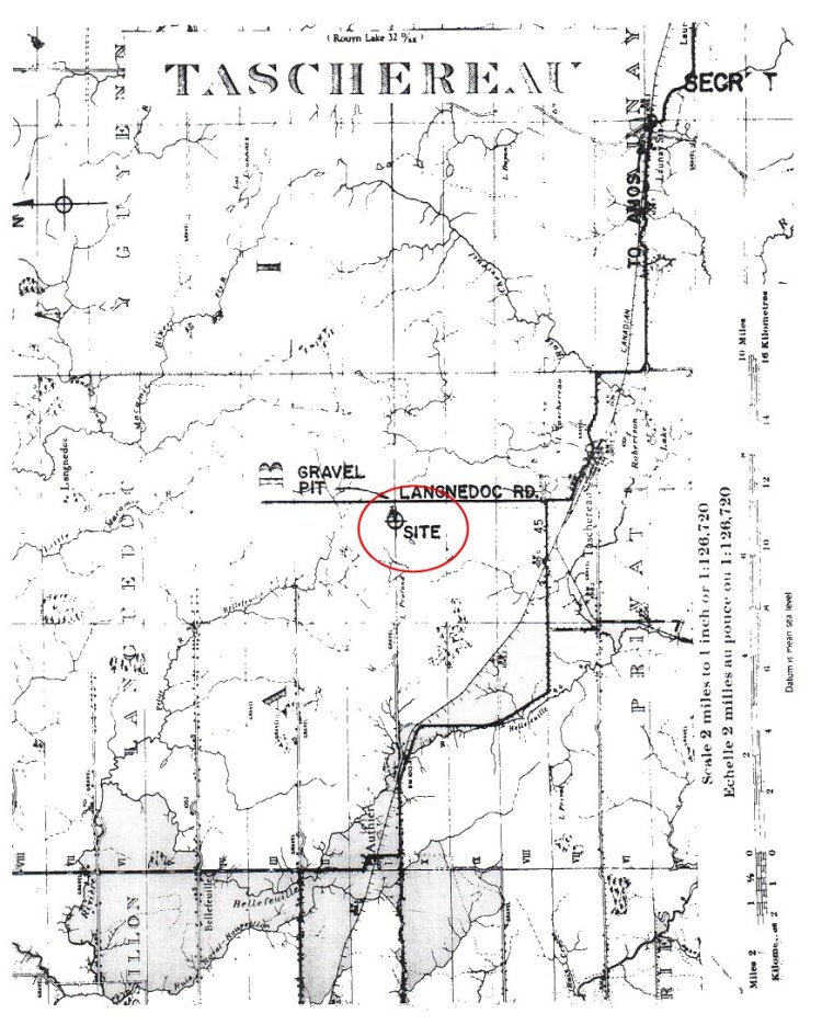
- Map showing the proposed location of the Gap Filler site at Taschereau - 31 March 1961
Courtesy National Archives of Canada.
|