Elliston Ridge, NF
Travel Information


Map 1 Map 2 Map 3 Map 4

Looking at Map #3, the Pinetree Line (1957-1961) Gap Filler radar station was located where the blue square is positioned. The World War II radar station (1943-1945), also referred to as the "Mark's Path" base, was located by the black dot marked "water". The two stations were located somewhat close together but at a different elevation. It is a very steep climb. Map #4 depicts the approximate locations of the World War II and the Pinetree Line radar stations.


Map Credits

Map 1 is courtesy Larry Wilson. Used with permission.

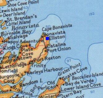
Map 2 is courtesy Larry Wilson. Used with permission.

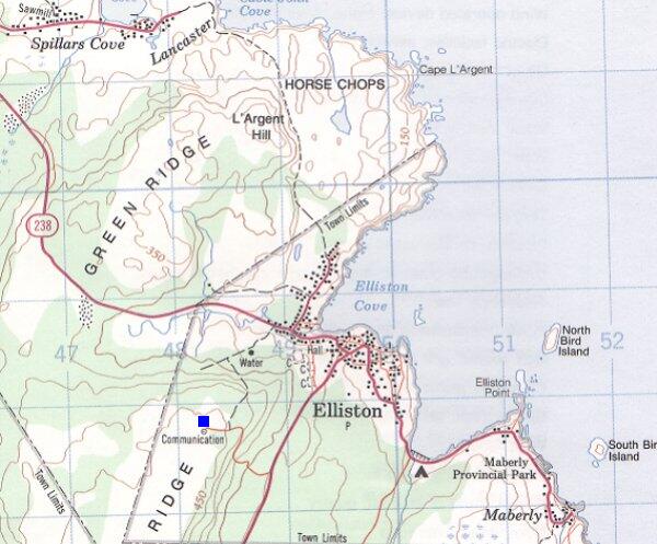
Map 3 is courtesy Energy Mines and Resources. Used with permission.

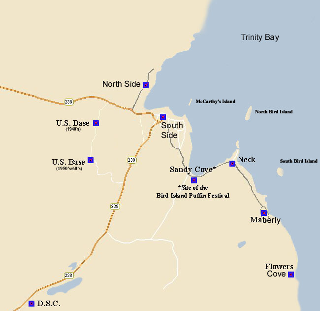
Map 4 is courtesy Neal Tucker. Used with permission.


Return to the Details Page


St. John's
Return to Top of Page

Updated: May 24, 2004