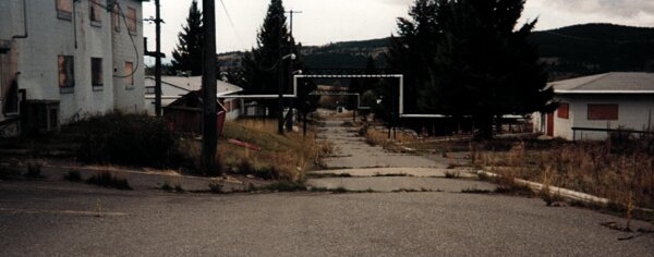
Once you arrive at the remains of the base camp, you will find a junction in the road - with the right hand turn taking you to the remains of the domestic site, and the left hand turn taking you to the top of the hill where the operations site was located.
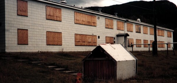
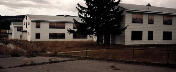
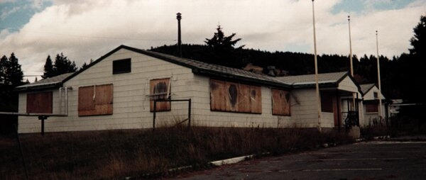
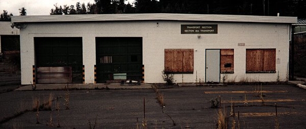
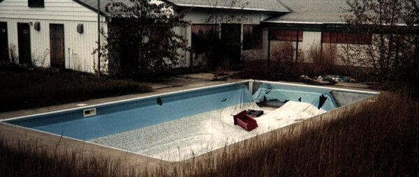
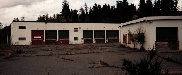
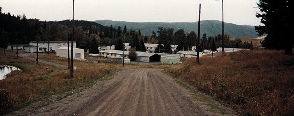
The majority of the buildings at the domestic site are still intact. Barracks, administration buildings, messes, supply, transport, plumbing, electrical, construction engineering, ball park, tennis court and even a swimming pool were still easy to identify.
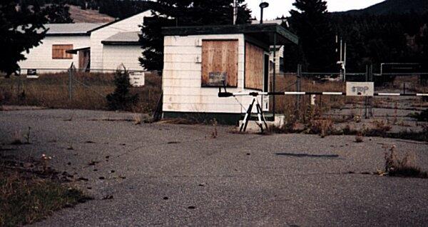
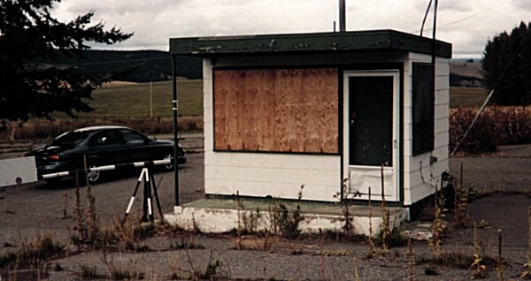
All of the windows on the buildings were covered with plywood and the doors were locked and chained. There were signs everywhere telling the "unwelcomed visitor" that the buildings were all empty - and suggesting it was not worth while to break in and/or vandalize.
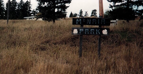
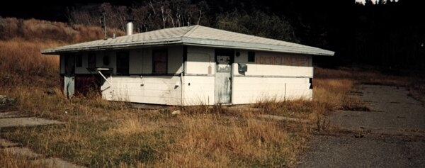
Had you taken the left hand fork (gravel road) you would have reached the remains of a trailer (mobile home) park about 0.5 km down the road. There was a sign with the words "McNair Park" by the road. If you were to drive up into this area, you would find a single building - which was a laundromat. The trailer pads are a reminder of how small some of these mobile homes must have been some 20 years ago.
Continuing up the gravel road a further 10 km will take you to the top of the hill. The road can easily be driven in a car during the summer months.
There is a junction about 0.7 km from the top of the hill. Continue to drive left to reach the summit.
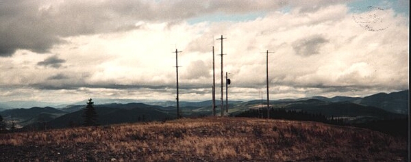
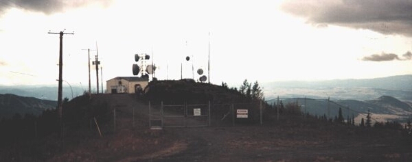
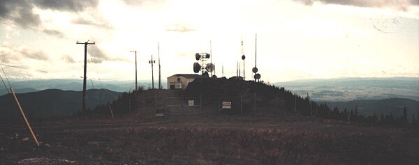
There is nothing remaining from the days of the radar installation - with the exception of broken and crushed pieces of cement with an occasional piece of rebar sticking out.
You can easily imagine what was once located there - based on what remains on the hill. There were two remaining areas of interest - both of which were fenced and locked. It is assumed that both of these areas were being used by BC Telephone.
Of additional interest was a small ramp which apparently is used by the Kamloops Hang Gliding Association. If you allow yourself to look down the mountain from this ramp, you will very quickly wonder why anyone in their proper mind would want to hang glide from this location.
Had you taken the fork in the road (0.7 km from the top of the hill) you would drive an estimated 0.8 km. At this point, you park your car and walk in an estimated 300 meters to the top of a hill in that area. Again, there is nothing remaining but bits and pieces of cement and rebar, thereby giving the impression that this could have easily been the location of a transmitter, a receiver or even a GATR site back in the good old days.
-- Ren L'Ecuyer, Victoria, BC