RCAF STATION BEAVERBANK NS
HISTORICAL OUTLINE
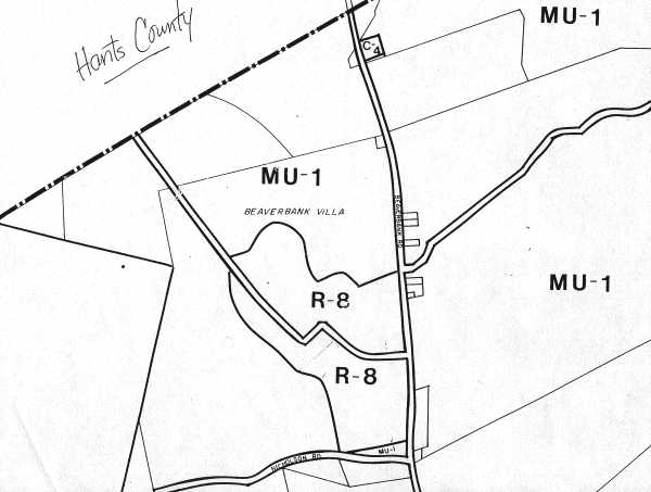
RCAF Station Beaverbank was located 25 miles NNW of the twin cities of Halifax and Dartmouth, and comprised 430 acres. The domestic site was one mile removed from the operations site, with a county line dividing them – the domestic site was in Halifax County, and the operations site was in Hants County.
RCAF Station Beaverbank first became operational in the fall of 1954 under the command of W/C DB Babineau, CD, now retired, and formed part of the Pinetree radar chain. 22 AC&W Squadron was originally American financed and entirely Canadian manned, but in early 1962 the Canadian government assumed the financial responsibility of eleven Pinetree sites which included RCAF Station Beaverbank.
Until September 1962, 22 AC&W Squadron was operationally responsible to Fredericton NORAD Sector with headquarters at RCAF Station St. Margarets NB. Under the new SAGE configuration, this unit formed part of the Bangor NORAD Sector, with headquarters at Topsham Air Force Station, Brunswick, Maine.
RCAF Station Beaverbank’s SAGE equipment became operational officially on the 1st January 1964, following approximately three months of testing. On that date, all control of interceptors previously carried out manually, was done via data link from Bangor NORAD HQ. All aircraft tracking data information was also passed automatically from Beaverbank’s digital data converter and transmitted to Sector Headquarters.
This detail was obtained in August 1998 from the National Archives of Canada for use on the Pinetree Line web site. The detail is circa 1965.