Click on the description text to view the item.
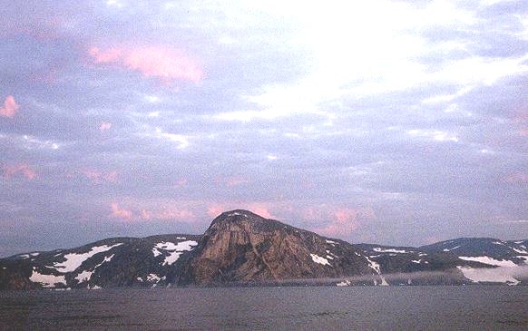
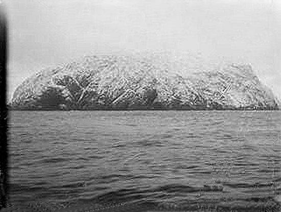
- A view of Cape Childey - August 2000.
Cape Chidley as it appeared in the early morning after I completed the 3-4 day crossing from Nuuk Greenland in 2000. This is a challenging area to sail, with strong currents, high tides and sometimes sea ice as late as August.
Courtesy Tony Wright.
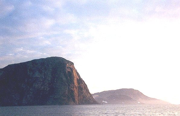
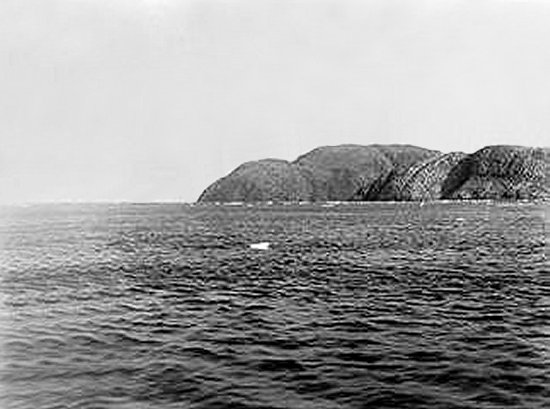
- A view of Cape Chidley - August 2000.
Cape Chidley is actually on Killinek Island separated from mainland Labrador by the McLelan Strait which has a fearsome reputation for strong tidal currents. There is a good anchorage in the bight on the south side of Cape Labrador where there is an anchor symbol on chart 4773. No soundings on the chart but good depth all the way in.
Courtesy Tony Wright.
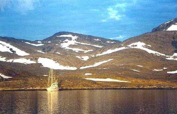
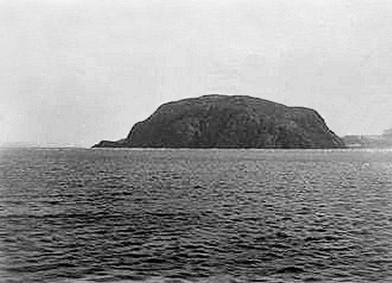
- Bowdin Harbour on Killinek Island, just south of Cape Chidley - August 2000.
Bowdoin Harbour on Killinek Island just south of Cape Chidley. There is a detail of Bowdoin on chart 4773. Anchor in the longest bay on the south side.
Courtesy Tony Wright.
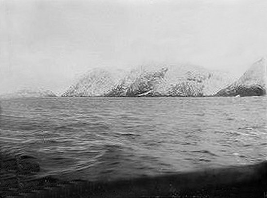
- Cape Chidley - 15 October 1897.
Courtesy NWT Archives.
- Cape Chidley - 15 October 1897.
Courtesy NWT Archives.
- Cape Chidley - 28 July 1897.
Courtesy NWT Archives.
- Cape Chidley - 28 July 1897.
Courtesy NWT Archives.
|