Port Burwell, Labrador

Hudson Strait Expedition - 1927-1928


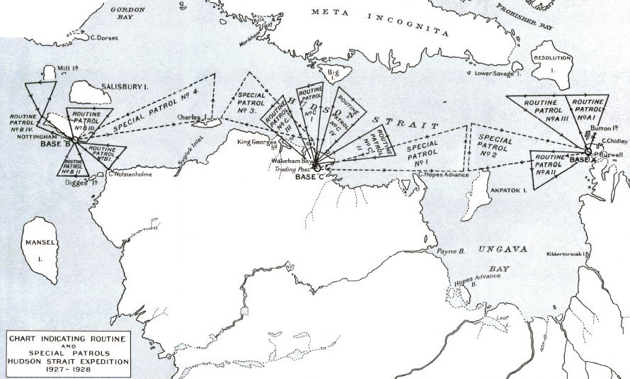
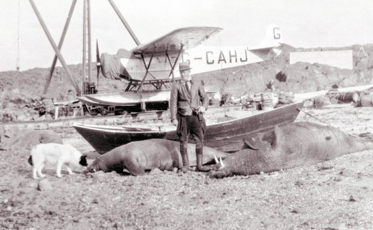
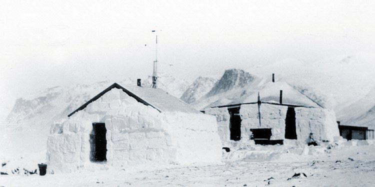
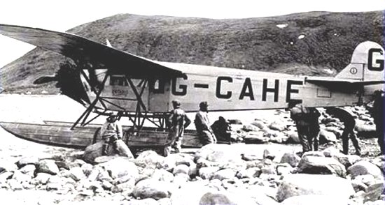
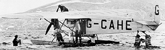
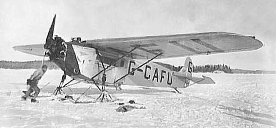
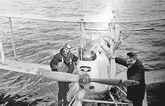
Aerial photography and charting continued to progress, thanks in part to the voyages of northern discovery, such as the Hudson Strait Expeditions of 1927-28. These first forays played a role in recording Canada's northern topography.

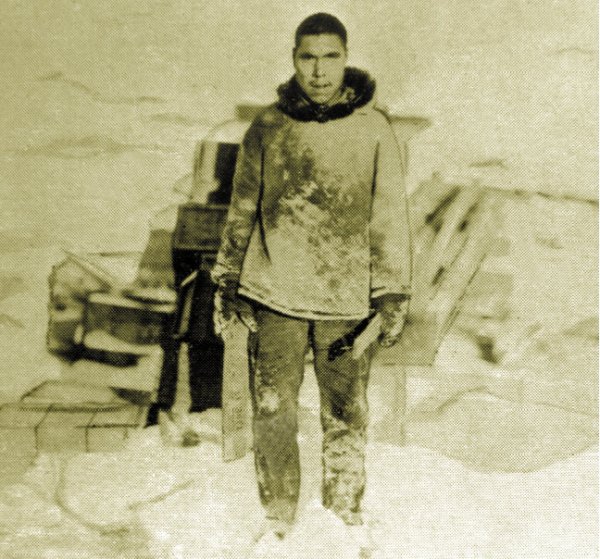
Charting the north was not without its challenges. Early pilots often encountered extreme weather conditions that led to dramatic adventures. During the famous expedition to Hudson Strait to study the possibility of maritime navigation, the seaplane pilots experienced the full range of difficulties that came with the territory. Over the course of their mission, RCAF flyers Lewis and Terry, along with their Inuit aerial observer and guide "Bobby" Anakatok, became lost in a storm and were forced to land on the sea ice. Anakatok successfully led the group to firm ground where they were finally rescued.


    Click on the description text to view the item.

    1. Map showing the three radio stations and the routes taken during the expedition
      Base "A" was located at Port Burwell.
      Courtesy Hudson Strait Expedition.

    2. Inuit "Bobby" Anakatok at Base "A" located at Port Burwell
      Courtesy Hudson Strait Expedition.

    3. F/L AA Leigh on the shore at Base "B" located at Nottingham Island
      Fokker Universal aircraft G-CAHJ, equipped with pontoons, is in the background.
      Courtesy Hudson Strait Expedition.

    4. RCAF Air Base "B" at Nottingham
      Courtesy Hazel Montague.

    5. Ice blocks insulate huts in the north
      Courtesy Hudson Strait Expedition.

    6. Fokker Universal aircraft G-CAHE is prepared for departure
      Courtesy Hudson Strait Expedition.

    7. The recovery after a flight on floats was a hazardous and a cold task because of the rocky beach
      The sea water never got over 40 degrees Farenheit (approximately 5 degrees Celcius).
      Courtesy Hudson Strait Expedition.

    8. Fokker G-CAFU equipped with skis preparing for deparure
      This aircraft could operate with wheels, skis or floats, and could carry four passengers or one thousand pounds of freight.
      Courtesy Hudson Strait Expedition.

    9. These overland navigation aids for Inuit travellers were known as "Inukshuks"
      The rest of the story.
      Courtesy Hudson Strait Expedition.

    10. F/L TA Lawrence (with goggles) and Lewis preparing to fly at Lake Harbour, Baffin Island.
      The flight was made while looking for a suitable site for setting up of Base "C" during the Hudson Strait Expredition. The plane pictured here is a de Havilland DH-60 moth, that was later lost during a storm.
      Courtesy Hudson Strait Expedition.


About This Page

This page is located at

http://www.pinetreeline.org/other8ck.html

Updated: January 19, 2003