Click on the description text to view the photograph.
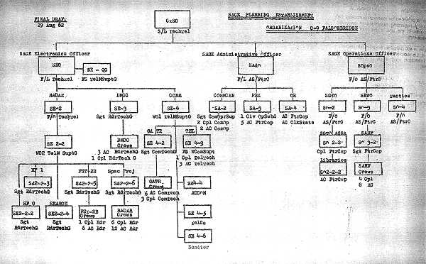
- SAGE Planning Establishment diagram - 29 Aug 1962.
Courtesy National Archives of Canada.
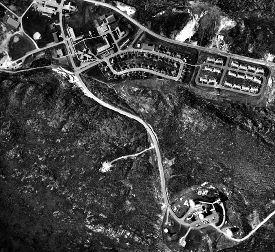
- Aerial photo of station from 4,100 feet - 7 May 1962.
Courtesy Department of Energy, Mines and Resources.
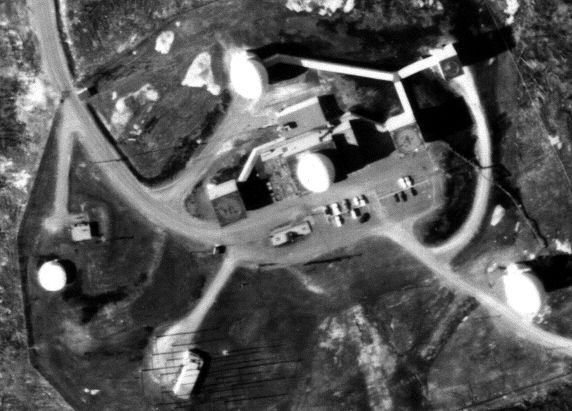
- Aerial close up of Operations site - 7 May 1962.
Courtesy Department of Energy, Mines and Resources.
|