Foymount, ON

1998 - A Visit to Foymount – Bob Peltzer


September, 1998

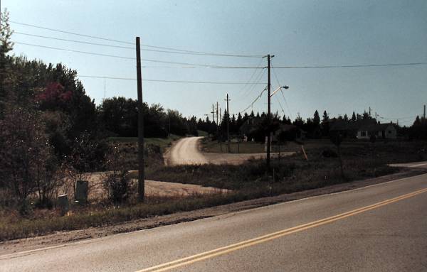
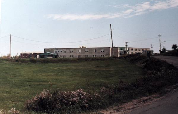
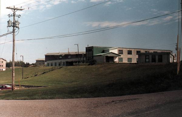
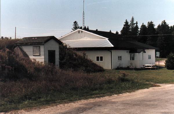
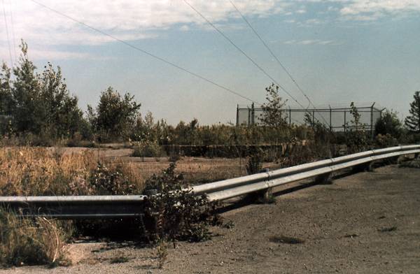
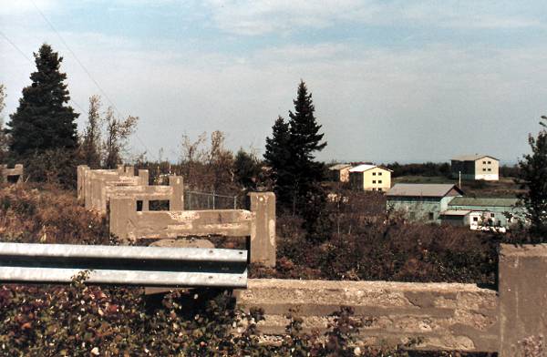
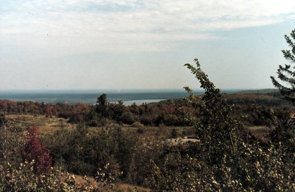
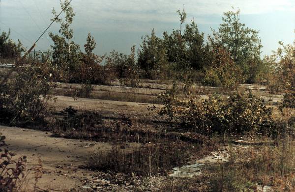
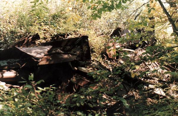
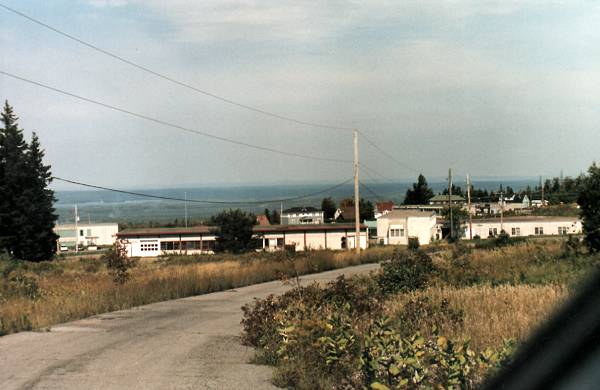
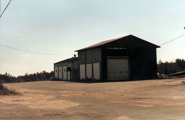
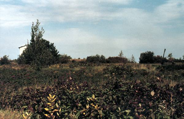
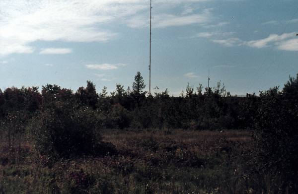
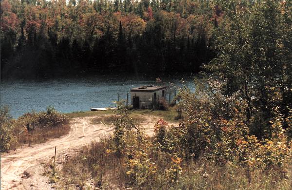
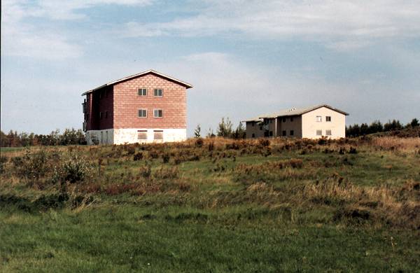
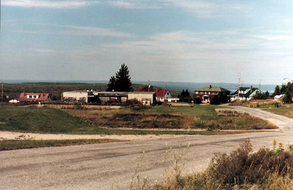
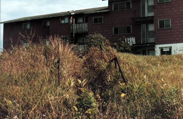
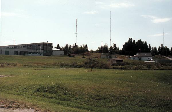
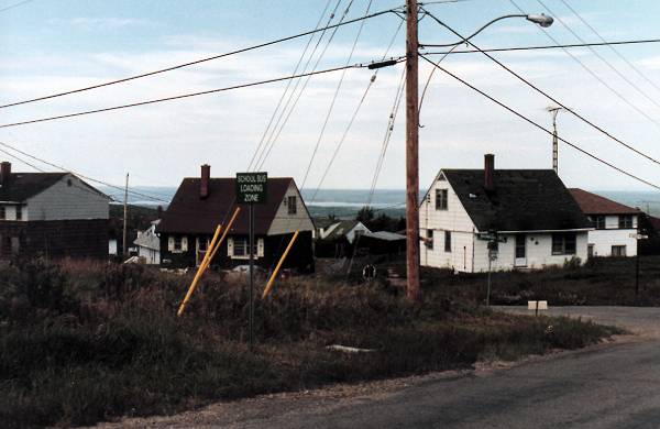
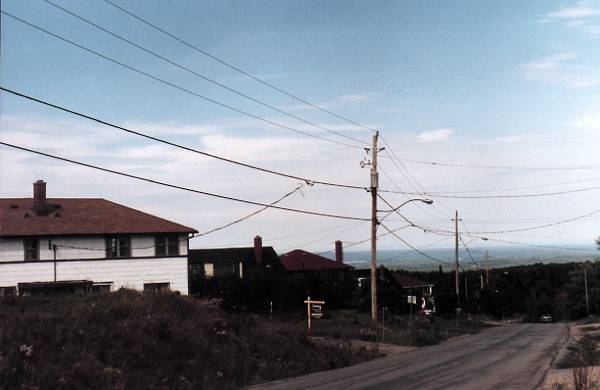
I first communicated with Bob Peltzer via the Internet during the summer of 1998 in the hopes of obtaining some detail on the radar station which was located in Foymount between 1952 and 1974. Ongoing communication continued via the Internet. Bob provided details of what remains at the old radar station, and added that he had first hand knowledge as he spends some time at the site. Bob is involved with the Opeongo Mountain Resort. He agreed to visit the site of the original radar station and take some photos of the remains. The following photographs depict the situation as it exists today.


Click on the description text to view the photograph.
  1. Entrance to base from Highway 512. Old guard house was located to the left of the road at the base of the hill. It burned down in 1996 - September 1998.

  2. Taken from the central road facing east from the 90 degree curve at the top of the hill. Pictured are two operations buildings which are now a part of the Blackwater Designs clothing factory - September 1998.

  3. Closer shot of the background building in previous photo. The small building in front was used for a pumphouse as part of the water or sewer utilities for the base. - September 1998.

  4. Current municipal hall for Sebastopol Township. Formally, the location of the base Fire Hall. Some old base fire fighting equipment still exists in current Sebastopol Fire Department. In the foreground is the reservior tank. - September 1998.

  5. Top of hill facing east where the radar domes and support buildings were located. Base of one dome in the background. Currently used by Bell Canada and others as an antenna farm - September 1998.

  6. Top of hill facing north. Cement footings upon which rested the raised enclosed walkway joining the main Operations building with the 12 sided Tower "Type B (S-13-1002-1)". Base garage and apartment buildings in background. - September 1998.

  7. Edge of hill facing east overlooking Lake Clear. Photo taken while standing on remains of cement footings in previous photo. - September 1998.

  8. Center of hill facing east. Photo taken while standing inside of what was one of the support buildings for the radar. Remnants of the old tile floor can be seen in the right hand foreground.

  9. Debris from the old base building shoved off the south edge of the (radar dome) hill - September 1998.

  10. Radar dome hill facing northwest overlooking the base. Golden Lake and Bonnechere River in distant background - September 1998.

  11. Eastern side of base just below the location of where the radar domes were located. Base garage, now used for municipal garage and Fire Department - September 1998.

  12. East side of base near garage facing north. Former site of base campground. Old electrical service pole for campers on right hand side of frame - September 1998.

  13. East side of base near garage facing south towards the hill where the radomes were located. Midway between the two points was the site of the base curling rink - September 1998.

  14. Far eastern edge of base. Lake used for base water supply. Pump station visible. - September 1998.

  15. Roadway at centre of base facing north. Apartment buildings. Virtually unchanged since they were used for base housing. Most are in poor condition and should be torn down - September 1998.

  16. More apartment buildings - September 1998.

  17. Roadway in front of apartments looking west. Former location of Recreation Hall which burned down in 1980. School building left of centre. More hosuing in background - September 1998.

  18. Close up of steps leading to apartment - September 1998.

  19. In front of location of former Recreation Hall looking south towards radar dome hill- September 1998.

  20. Central base road looking west. More base housing - September 1998.

  21. Central base road looking north towards Highway 512 and base entrance - September 1998.


Photographic Credits

All photos are used with permission.


Return to the Details Page

Index
Return to Top of Page

Updated: April 25, 2000