Frobisher Bay, NWT
Photographs
Click on the description text to view the photograph.
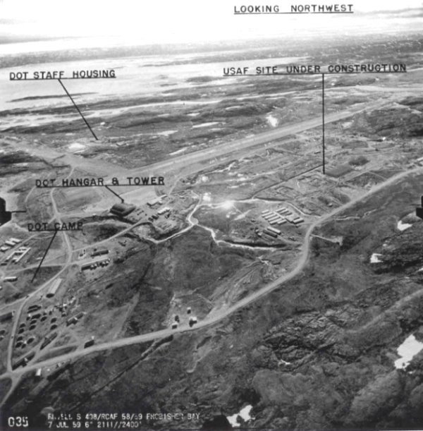
Aerial photo of airport and lower base - 7 July 1959.
Courtesy Transport Canada.
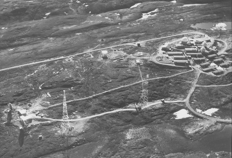
Aerial photo of Frobisher Bay Air Station (Upper Base) - 7 July 1959.
Courtesy Department of Energy, Mines and Resources.
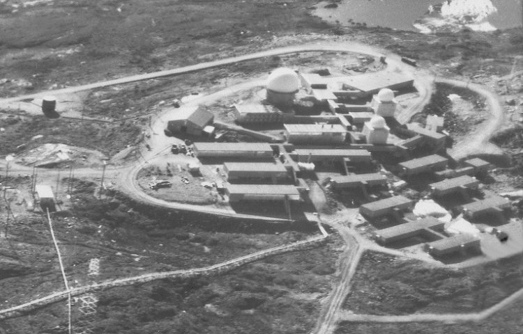
Close up image of the Frobisher Bay radar station (Upper Base) - 7 July 1959.
Courtesy Department of Energy, Mines and Resources.
Drawing showing "Report of Unknown Activity" - April - June 1959.
Courtesy National Archives of Canada.
Photographic Credits
All photos are used with permission.
Return to the Details Page
Index
Return to Top of Page
Updated: October 29, 2001