Holberg, BC
Photographs


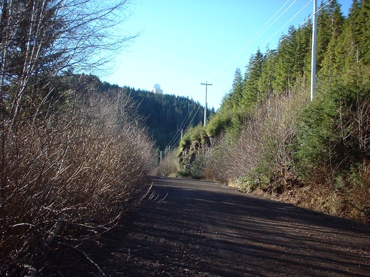
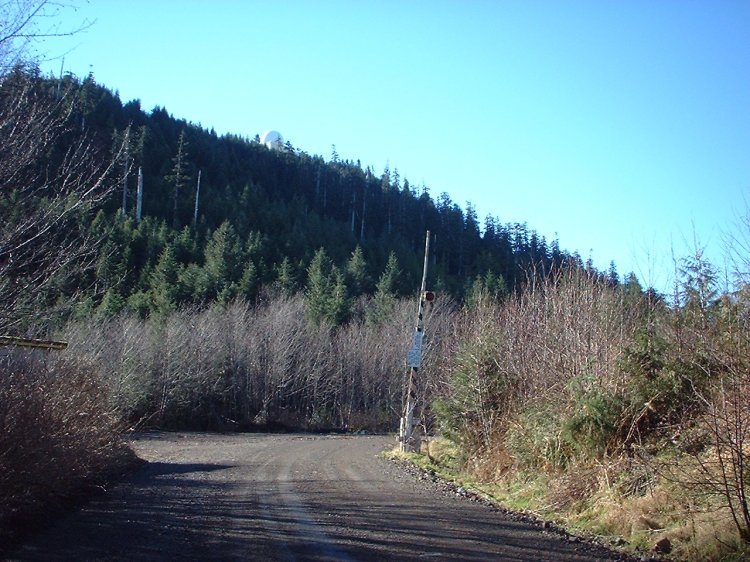
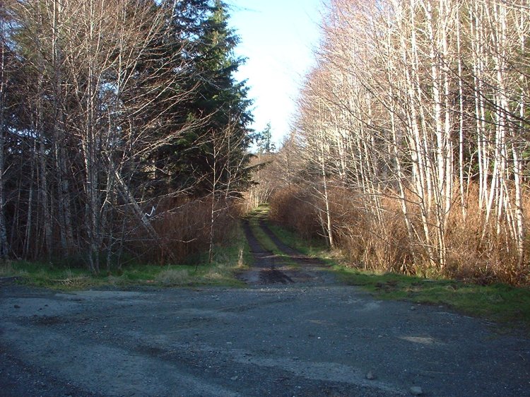
The domestic site was razed to the ground many years ago and the alder trees in this area are now about twenty feet tall. The old power plant is also gone, but the "railway gate" is still in position.


Click on the description text to view the photograph.
  1. The main gate - September 2004.
    Courtesy Rick Kirkpatrick.

  2. Log sign for the Detachment at Holberg - September 2004.
    The sign is located halfway between the original domestic site and the top of the hill.
    Courtesy Rick Kirkpatrick.

  3. Log sign for the Detachment at Holberg - September 2004.
    If you look very closely you will see where the "CFS" has been replaced with "DET".
    Courtesy Rick Kirkpatrick.

  4. The upper gate - September 2004.
    Note the radome perched on the hill.
    Courtesy Rick Kirkpatrick.

  5. The road leading to the "hill" - September 2004.
    Courtesy Rick Kirkpatrick.

  6. The road leading to the Operations site - September 2004.
    Note the radome perched on the hill.
    Courtesy Rick Kirkpatrick.

  7. "Happy Face" on the rocks - September 2004.
    Courtesy Rick Kirkpatrick.

  8. View of the radome as seen from the access road - September 2004.
    Courtesy Rick Kirkpatrick.

  9. Sign for CFS Holberg Long Range Radar station - September 2004.
    Courtesy Rick Kirkpatrick.

  10. The "Tent Town" road - September 2004.
    Courtesy Rick Kirkpatrick.


Photographic Credits

All photos are used with permission.


Return to the Details Page

Index
Return to Top of Page

Updated: January 27, 2005