July, 1998
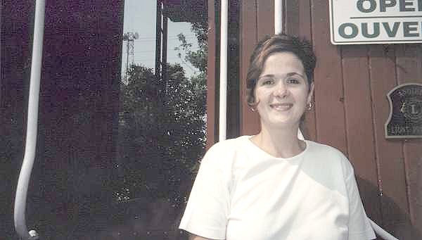
Greetings from Kapuskasing Ontario. My name is Julie Latimer , and I am employed as a curator at the "Ron Morel Memorial Museum" which is located in Kapuskasing. I would like to provide a little background detail at this time.
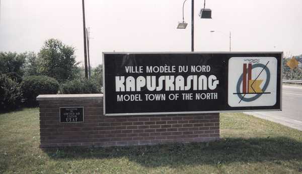
We must recall that there were two main methods of travel in the north during the Cold War years (1950-1990). Highway #11 was the northern route that stretched from Toronto to North Bay to Cochrane, and continued west through a number of small towns such as Kapuskasing and Lowther. This highway continued west to Thunder Bay and beyond. The other mode of travel, equally important, was the Canadian National Railroad (CNR). But this reflects "days gone by". The CNR railway line was bought out by the Ontario National Railroad in 1994, and today – well Kapuskasing is limited to two trains a day – strictly freight, mind you – that operate between Cochrane and Hearst.
As far as Kapuskasing is concerned, there is no railroad passenger service in existence at the present time. The closest we have to railway passenger line service (and this is a plug) is the "Ron Morel Memorial Museum". The museum consists of Steam Locomotive #5107, two passenger cars and a caboose - strategically located on original track in front of the original CNR railway station. The museum is staffed by four personnel and is open to tourists between 9 and 5, seven days a week, between Victoria Day and Labour Day every year. The entrance is located in the caboose and the museum offers a significant amount of local and railway memorabilia.
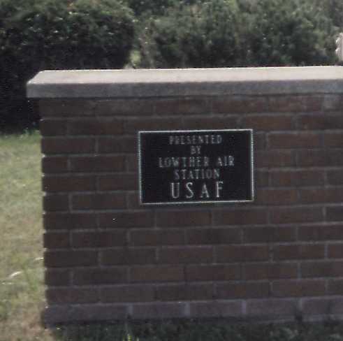
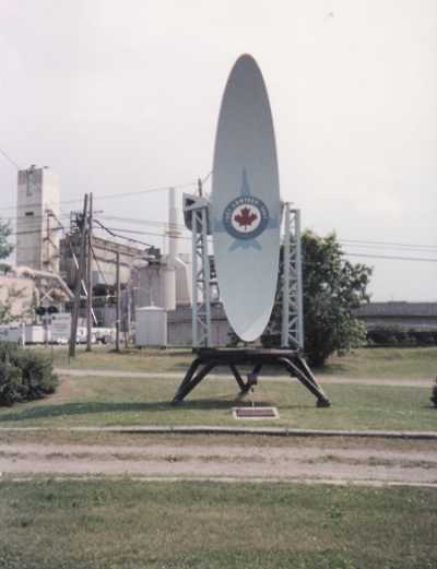
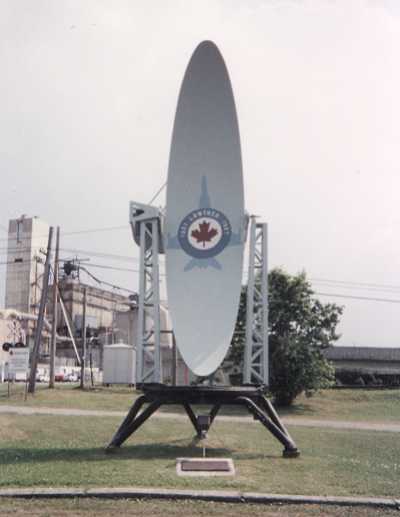
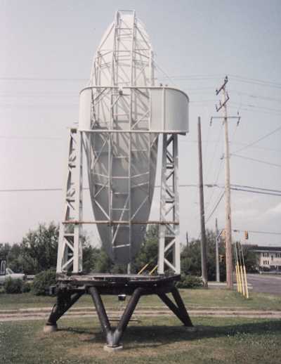
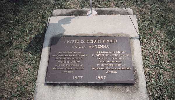
I first communicated with Ren L’Ecuyer of the Pinetree Line web site on 15 April, 1998. He had obtained my work telephone number through the Internet and decided to telephone me in the hopes of obtaining some detail on the old radar station which had been located at Lowther. We shared a pleasant conversation and exchanged Internet e-mail addresses. It was at this point that I offered my assistance to the Pinetree Line web site. I was able to ultimately locate and provide some written detail on the radar station. This was mailed to Ren along with a few photos of the height finder memorial which is located in Kapuskasing.
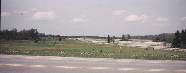
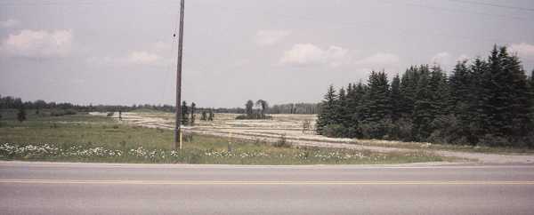
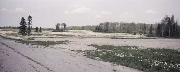
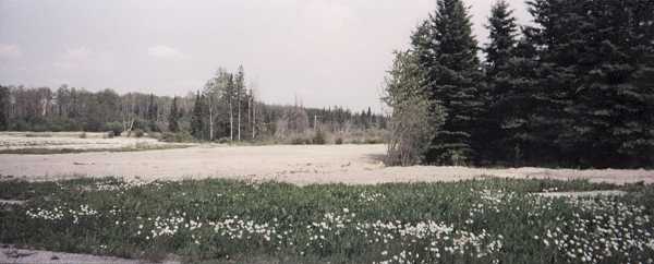
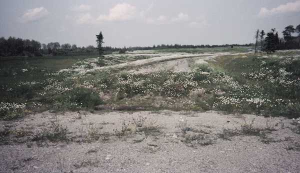
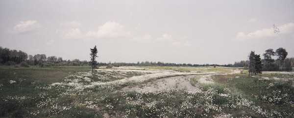
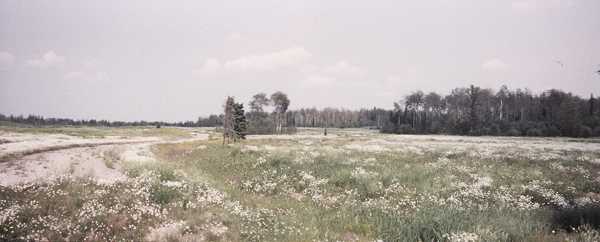
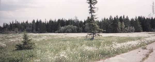
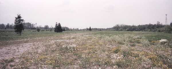
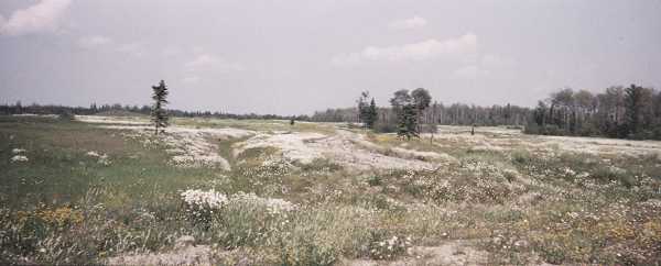
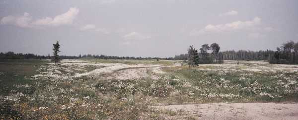
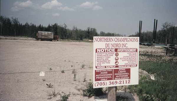
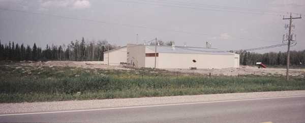
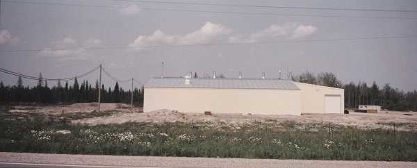
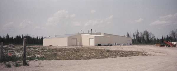
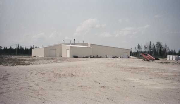
The next step was to take a trip to the remains of the radar station which had been located at Lowther. While the trip itself was enjoyable, I could not help but experience some degree of sadness at what remained today – in short, nothing - nothing but empty fields and memories of what once existed. The exact location was somewhat easy to find – for someone who knew the local area. The passing tourist, however, would have driven right by and never known that a military community once existed at Lowther. Perhaps it is best to simply look at the photographs which were taken.
| Return to the Details Page |
| Index |
| Return to Top of Page |
Updated: April 25, 2000