Moosonee, ON
Photographs


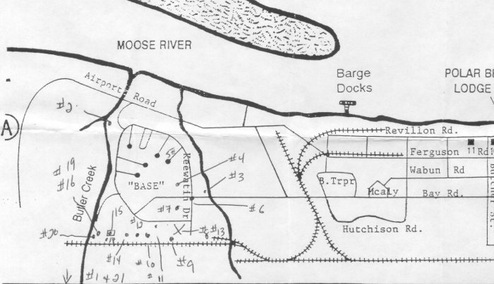
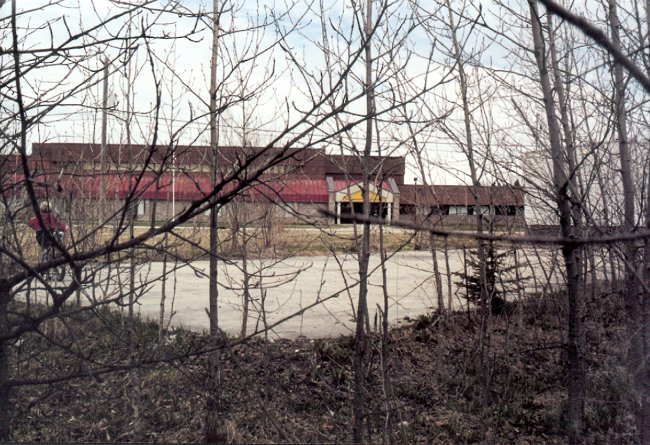
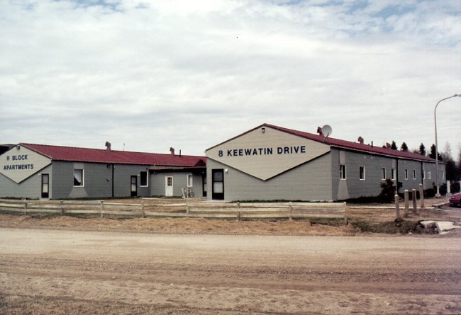
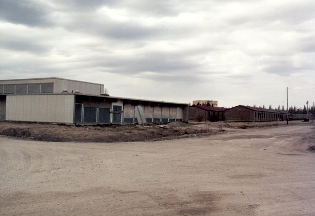
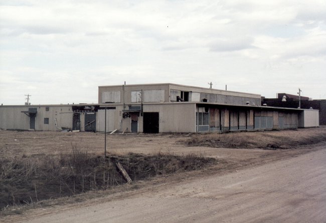
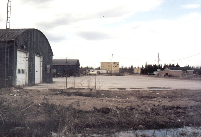
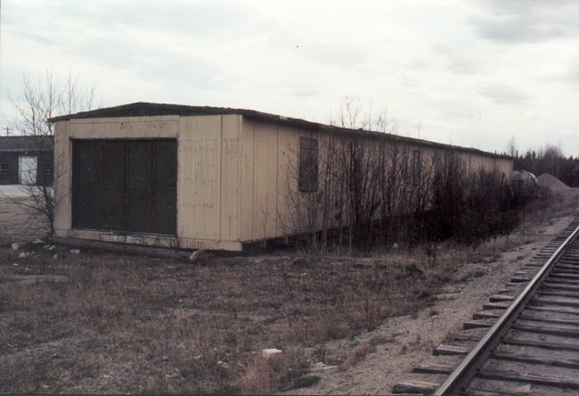
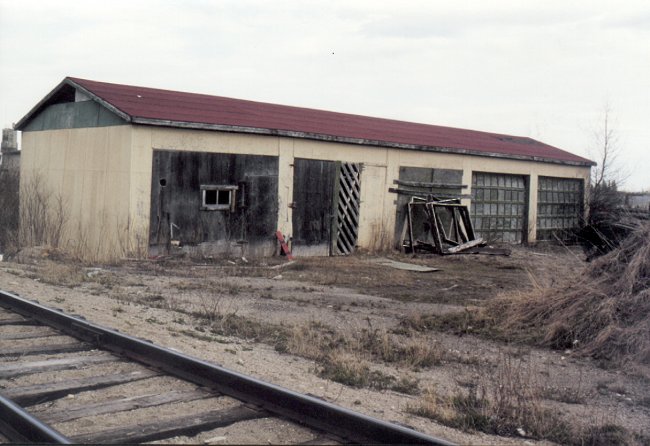
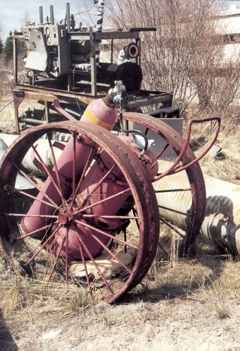
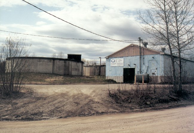
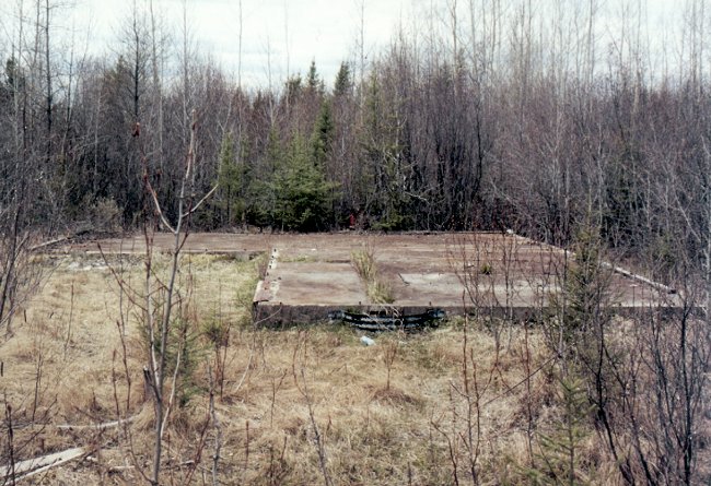
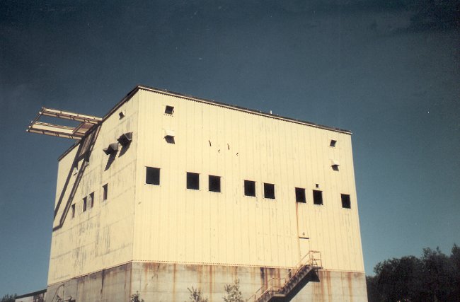
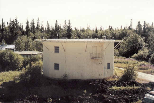
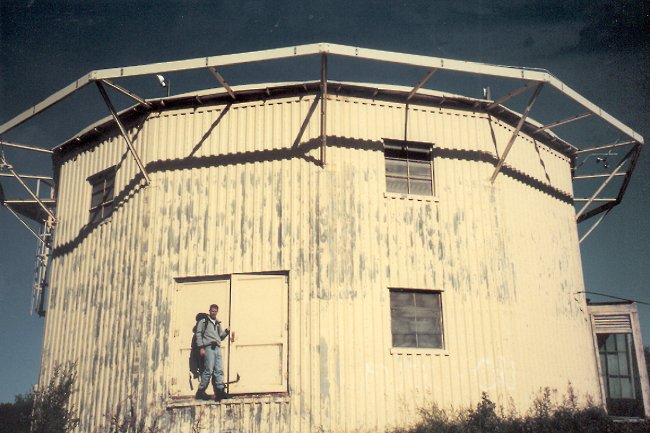
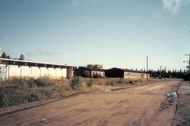
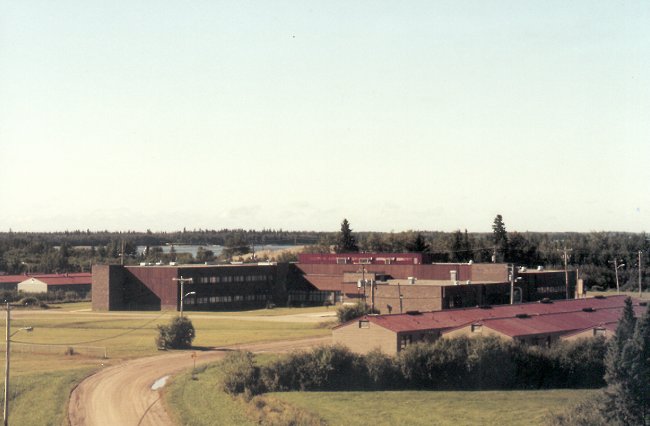
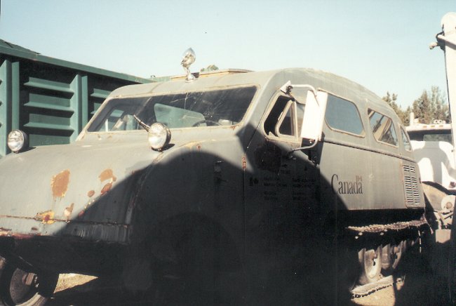
It is suggested that you print a copy of the map and make use of the photo location numbers to relate with the photos that are provided below.

  • Map of base showing locations where photos were taken - May 2000.
    Courtesy Dan Anthony.


    Click on the description text to view the photograph.
    1. The end of the road leading to the TACAN site - May 2000.
      Courtesy Dan Anthony.

    2. Original base water treatment plant which is a contrast with the new water filtration system in the background at the east entrance of the base - May 2000.
      Courtesy Dan Anthony.

    3. The main guard house (Bay Road entrance). All that remains is the concrete. You can see the Combined Mess, some barracks and the search radar tower in the background - May 2000.
      Courtesy Dan Anthony.

    4. Concrete pad in front of the old Officer's Mess. The Mess is still there. They built the Northern Lights Secondary High School around the Mess. A pool and bowling alley are still there - May 2000.
      Courtesy Dan Anthony.

    5. Barracks on Keewatin Drive - May 2000.
      Courtesy Dan Anthony.

    6. Combined Mess as seen from the intersection of Bay Road and Keewatin Drive. Search radar tower seen in the background - May 2000.
      Courtesy Dan Anthony.

    7. Combined Mess - May 2000.
      Courtesy Dan Anthony.

    8. Motor Transport area looking east towards the search and height finder radar towers - May 2000.
      Courtesy Dan Anthony.

    9. Unidentified building beside the main tracks behind the Motor Transport area - May 2000.
      Courtesy Dan Anthony.

    10. Unidentified building beside the main tracks behind the Motor Transport area - May 2000.
      Courtesy Dan Anthony.

    11. Old fire extingisher in the Motor Transport area - May 2000.
      Courtesy Dan Anthony.

    12. Unidentified building located beside the original radar facilities. This is now used as an office for a local concrete company. The buildings are all owned and looked after by the Moosonee Development Area Board - May 2000.
      Courtesy Dan Anthony.

    13. Motor Transport area facing toward the old fuel facilities. You can see an old fuel tank in the background. This area is currently being destroyed because of contaminated soil from fuel - May 2000.
      Courtesy Dan Anthony.

    14. Height Finder radar tower. The interior is in poor condition and has been vandalized. Note one of the concrete trucks - May 2000.
      Courtesy Dan Anthony.

    15. (L-R) Unidentified building, Search radar tower and Height Finder radar tower - May 2000.
      Courtesy Dan Anthony.

    16. Remains of the Search Radar tower - May 2000.
      Courtesy Dan Anthony.

    17. Height Finder radar tower. It rests near the water tanks in the background. Butcher Creek is about 60 meters away - May 2000.
      Courtesy Dan Anthony.

    18. An old 1964 Chrysler Air Force truck lying behind the Search radar tower. A metal tag is still on the door - May 2000.
      Courtesy Dan Anthony.

    19. Search radar tower (far left) and Height finder tower (in center) - May 2000.
      Courtesy Dan Anthony.

    20. Water filtration plant area near Butcher Creek. This is a different building that that shown in photo #2 - May 2000.
      Courtesy Dan Anthony.

    21. Concrete foundation at the TACAN site. There is still a lot of barbed wire remaining which has been grown over by the forest - May 2000.
      Courtesy Dan Anthony.

    22. Search radar tower - August 2000.
      Courtesy Christopher Palmer.

    23. Height finder radar tower - August 2000.
      Courtesy Christopher Palmer.

    24. Height finder radar tower - August 2000.
      Courtesy Christopher Palmer.

    25. Combined Mess as seen from the intersection of Bay Road and Keewatin Drive. Search radar tower seen in the background. Buildings in centre area unidentified - August 2000.
      Courtesy Christopher Palmer.

    26. Unidentified buildings and area - August 2000.
      Courtesy Christopher Palmer.

    27. Remains of an old Track Master - August 2000.
      Courtesy Christopher Palmer.


    Photographic Credits

    All photos are used with permission.


    Return to the Details Page

    Index
    Return to Top of Page

    Updated: December 26, 2000