Click on the description text to view the photograph.
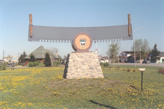
- The entrance to Hearst which is the closest community to Pagwa - 13 June 2002.
Courtesy Richard Cameron.
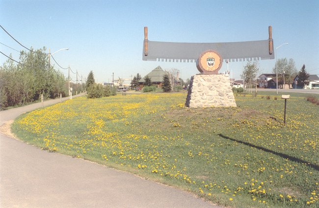
- The entrance to Hearst which is the closest community to Pagwa - 13 June 2002.
Courtesy Richard Cameron.
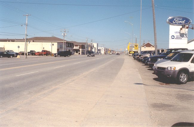
- Highway 11 is the main street in Hearst. This view is looking west towards Pagwa - 13 June 2002.
Courtesy Richard Cameron.
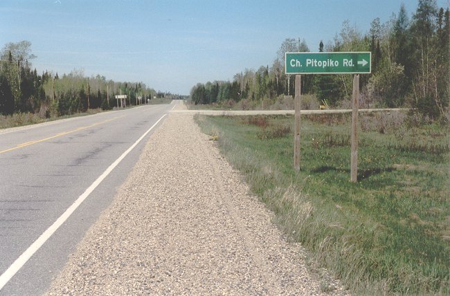
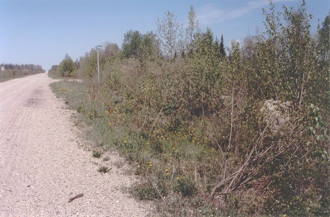
- The Pitopiko Road turnoff on Highway 11, 69 kilometres west of Hearst - 13 June 2002.
This location is also seven kilometres west of the Highway 631 junction with Highway 11 at the Nagagami River.
Courtesy Richard Cameron.
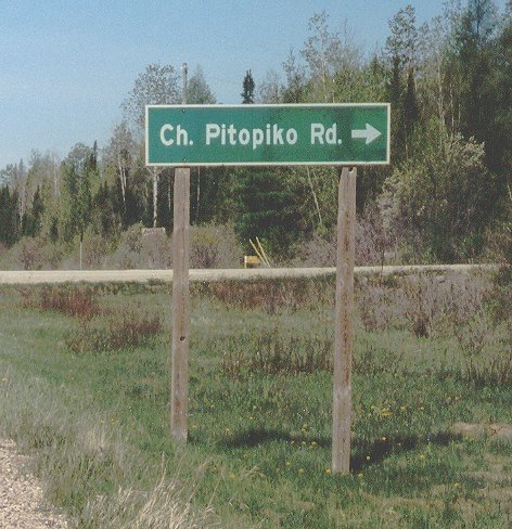
- A larger image of the Pitopiko Road sign - 13 June 2002.
Courtesy Richard Cameron.
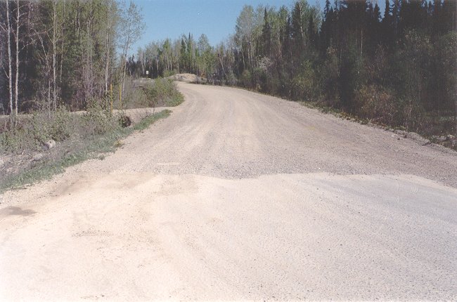
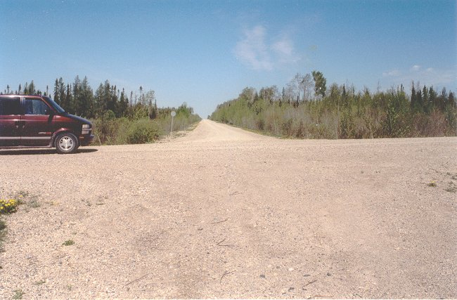
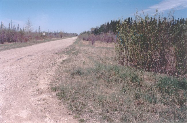
- The Pitopiko Road at Highway 11, looking north - 13 June 2002.
Courtesy Richard Cameron.
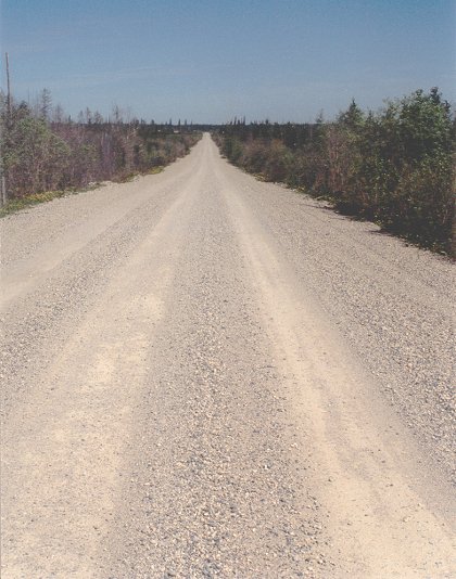
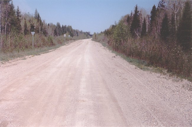
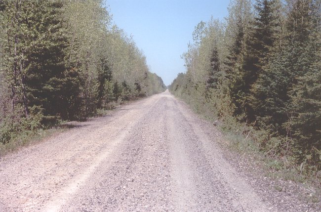
- The Pitopiko Road is a very good gravel roadway, built for logging - 13 June 2002.
Courtesy Richard Cameron.
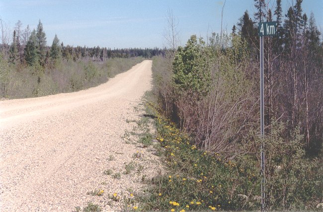
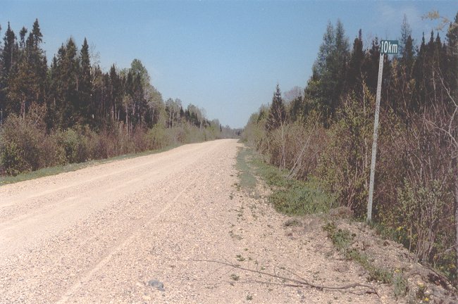
- Distance markers are located on the Pitopiko Road - 13 June 2002.
Courtesy Richard Cameron.
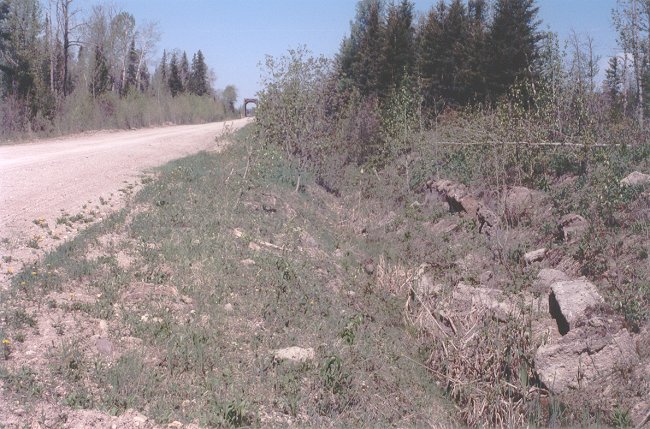
- The junction of the Pitopiko Road with the old CNR-NTR right-of-way, about 6.3 kilometres north of Highway 11 - 13 June 2002.
This is looking west along the right-of-way towards Pagwa River. Pagwa River is 47.5 kilometres to the west. When you reach this intersection, you make a left turn onto the right-of-way, which, at this point, is widened into a forest haulage road.
Courtesy Richard Cameron.
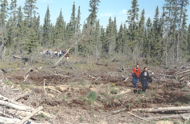
- A group of visitors on a Silviculture tour - 13 June 2002.
Courtesy Richard Cameron.
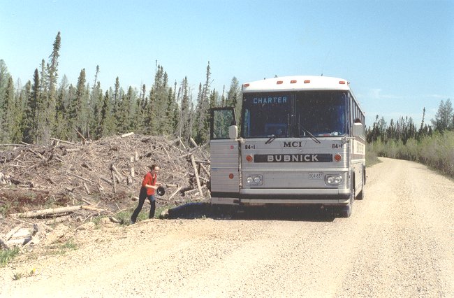
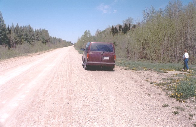
- The roadway is even good enough for highway buses - 13 June 2002.
Courtesy Richard Cameron.
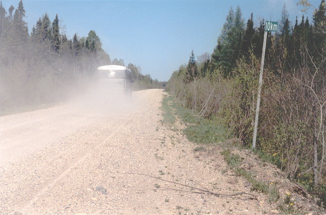
- Distance marker 10km on the CNR-NTR right-of-way which has been turned into a forest access road - 13 June 2002.
Travel is good, but dusty.
Courtesy Richard Cameron.
- The bus tour makes food time on the roadbed-road - 13 June 2002.
Speed of 90 to 100 kmp are easy on this part of the route.
Courtesy Richard Cameron.
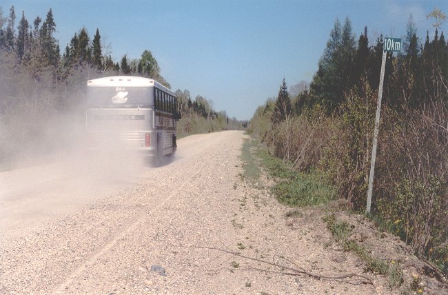
- The bus goes by the distance marker at 10 km - 13 June 2002.
Courtesy Richard Cameron.
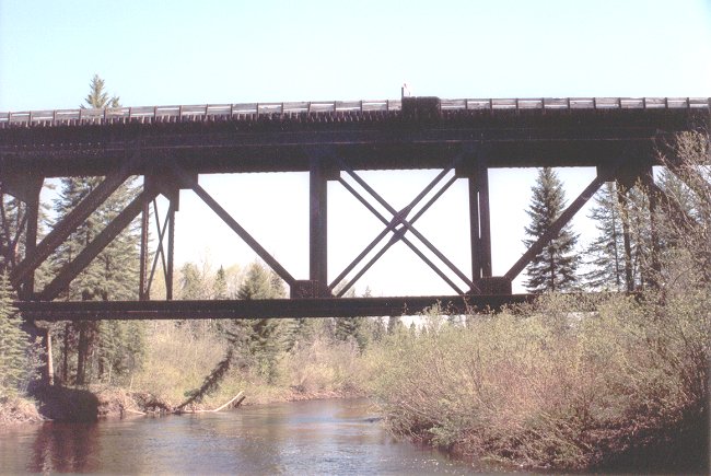
- The Pitipoko River crossing - 13 June 2002.
This river gives its name to the access road.
Courtesy Richard Cameron.
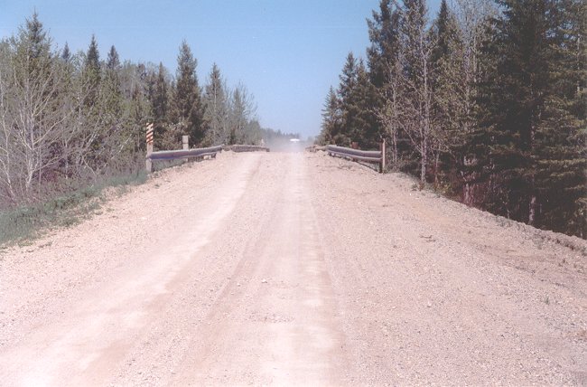
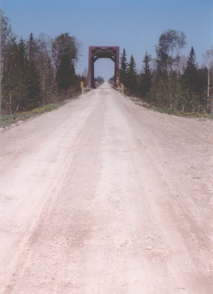
- The bridge at the Pitipoko River crossing - 13 June 2002.
Courtesy Richard Cameron.
- The old railway roadbed in the vicinity of Nagagami Station - 13 June 2002.
Courtesy Richard Cameron.
- The old railway roadbed in the vicinity of Nagagami Station - 13 June 2002.
Courtesy Richard Cameron.
- Fraser Station (station concrete foundation remains at right) at the Otasawian River crossing - 13 June 2002.
The bridges along this part of the route are decked for truck traffic.
Courtesy Richard Cameron.
- The Otasawian River crossing - 13 June 2002.
Courtesy Richard Cameron.
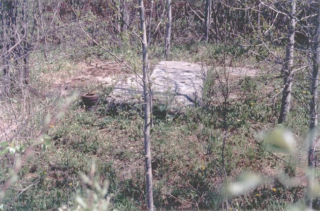
- The concrete remains of the water tower foundations at Savoff Station - 13 June 2002.
Courtesy Richard Cameron.
- Concrete remains of the water tower foundations at Savoff Station - 13 June 2002.
Courtesy Richard Cameron.
- This was the site of Teltaka Station which was the last section before Pagwa - 13 June 2002.
Courtesy Richard Cameron.
- The railway roadbed becomes a gravel trail just east of Pagwa River, but this section is still comfortably traversed - 13 June 2002.
Courtesy Richard Cameron.
The photographs depicted in this section have taken us from Hearst to an area just slightly east of Pagwa River. Please proceed to the next group of photos (Village of Pagwa River and local area) to continue this trip.
|