Click on the description text to view the photograph.
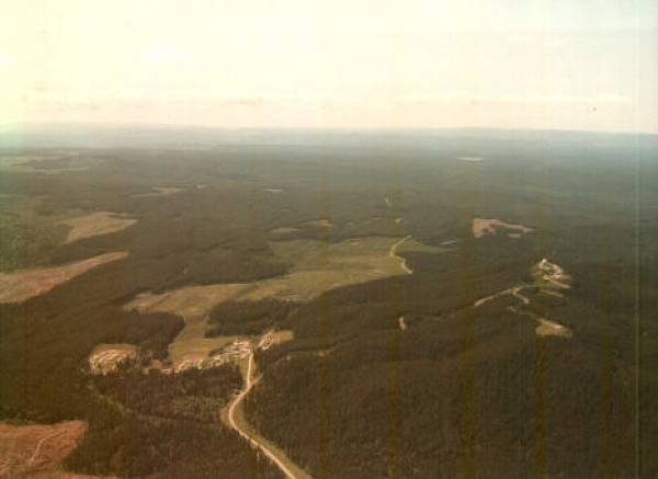
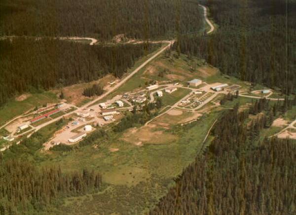
- Road into Baldy Hughes. Domestic site on left and Operations site on right.
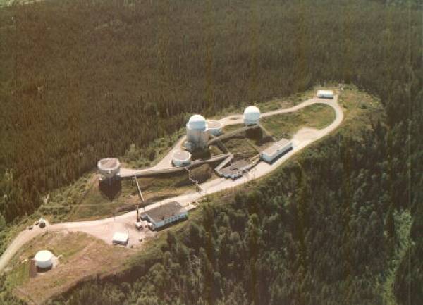
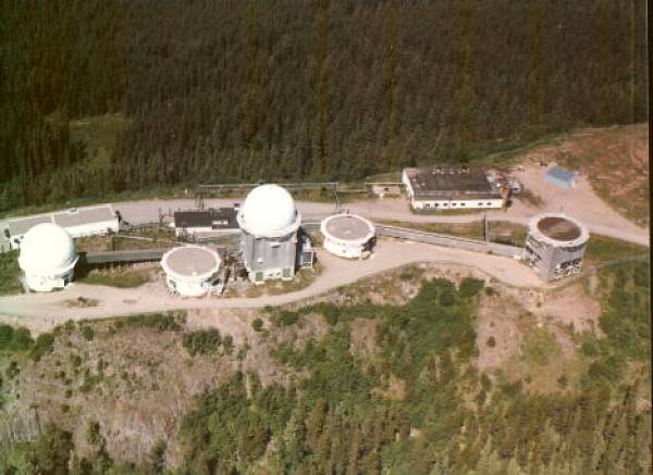
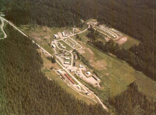
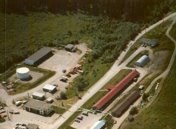
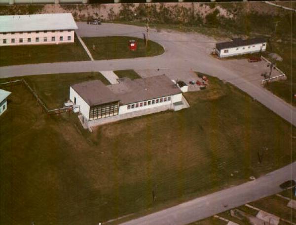
- Operations site. Lower left if Upper Guardhouse and fuel tower. Large flat building is Power Plant. Next flat building is the SAGE Annex (walkways extend out to each tower). Small building in right hand corner is the Telco building. The only two operational towers at this time are the FPS-27A (middle) and the FPS-6B (right).
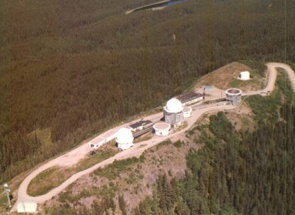
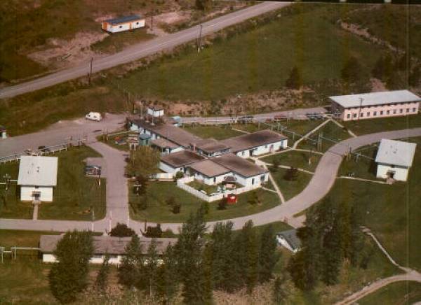
- Operations site. Microwave tower in lower left, beside Telco building.
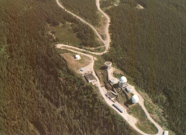
- Operations site.
- Operations site.
- Operations site.
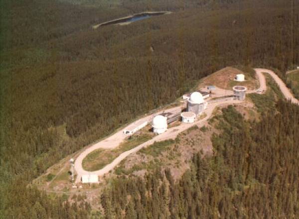
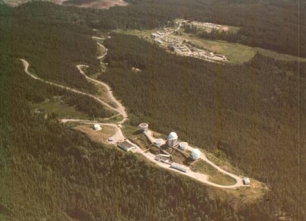
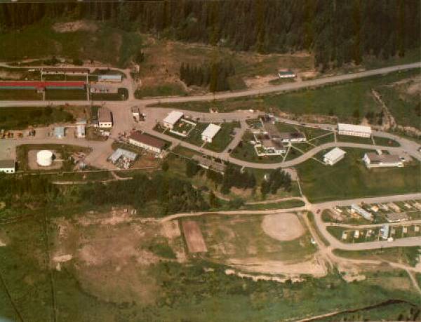
- Aerial view of Operations site in foreground and Domestic site in background.
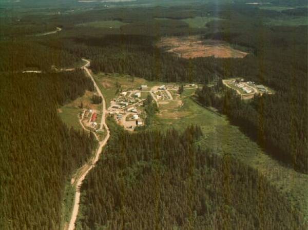
- Distant aerial view of domestic site.
- Distant aerial view of domestic site.
- Aerial view of domestic site.
- Aerial view of domestic site.
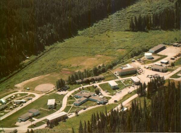
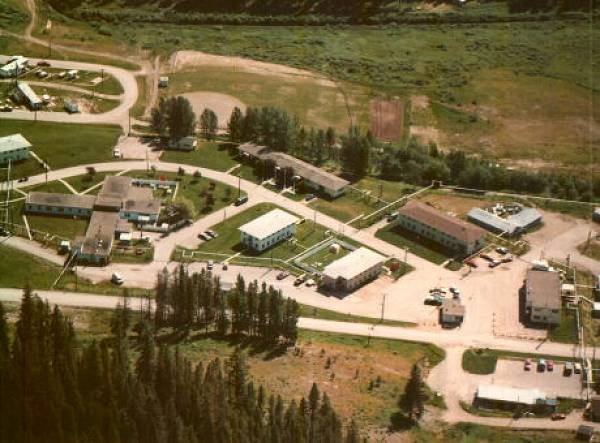
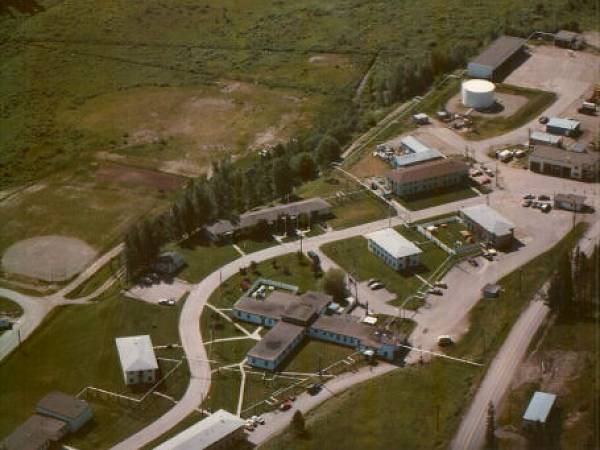
- Aerial view of domestic site. Combined Mess (centre) HQ building (in trees with 3 flagpoles in front).
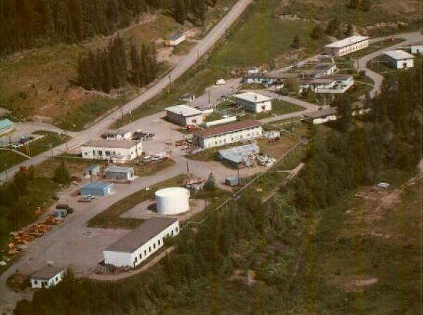
- Aerial view of domestic site. MSE buildings and fuel tower on left. CE, Supply and water treatment building on right of road that passes through Baldy Hughes.
- Aerial view of domestic site. Fire Hall at lower right (light coloured roof)
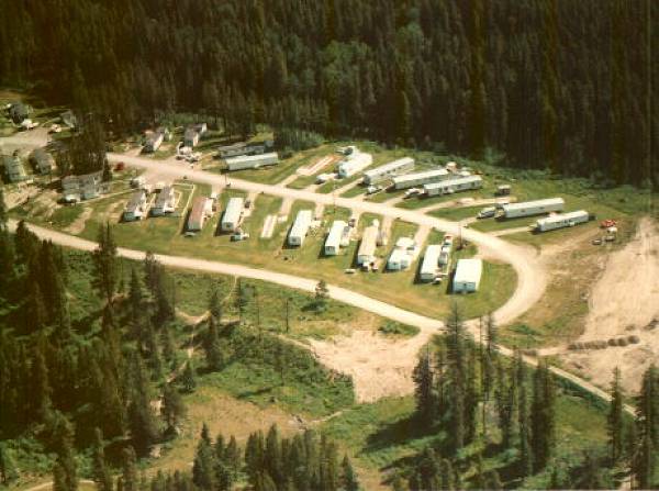
- Aerial view of domestic site. Upper trailer court.
- Aerial view of domestic site. Lower trailer court. Long building in upper left is the Curling Rink. Large building in centre left is the Gymnasium.
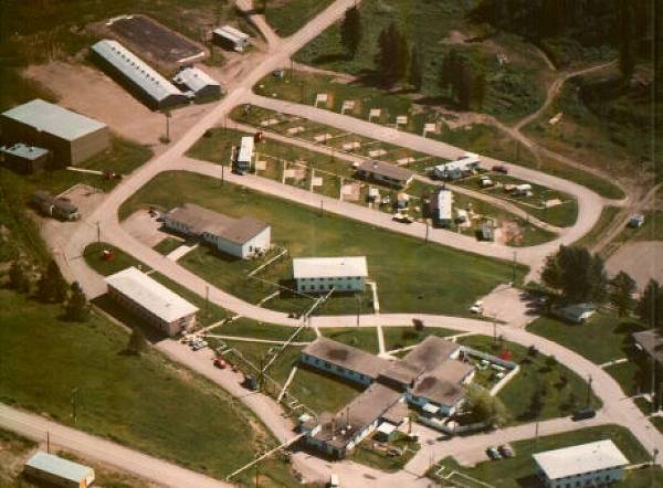
- Aerial view of domestic site. Junior Ranks Mess (centre). Barracks/MIR (upper left). Living-In personnel Dry Lounge/Library (right).
- Aerial view of domestic site. Ball diamond (lower centre)
- Aerial view of domestic site. Combined Mess (lower centre)
- Aerial view of domestic site. Road to Prince George (upper centre)
|