September, 1998
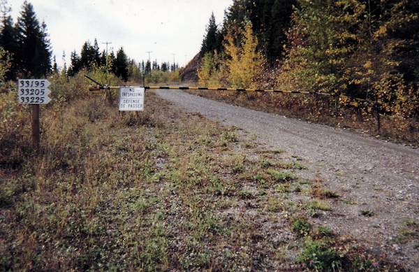
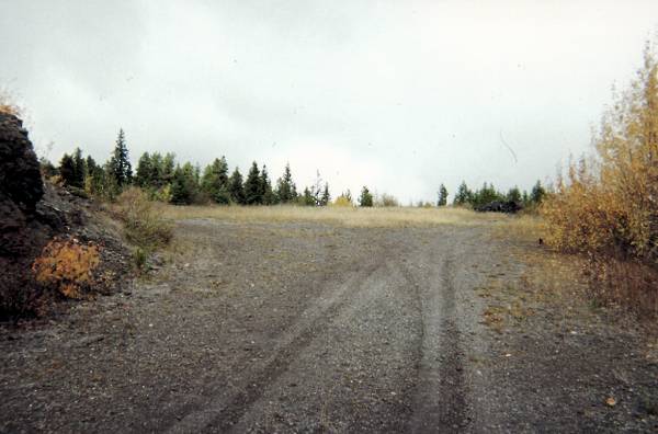
We have travelled from Prince George via the Blackwater Road for some 26.9 km, when we are faced with our first decision. Do we take the right fork in the road (by the gate) and head up the hill to check out the remains of the Operations site area, or do we carry left on Blackwater Road towards the Domestic site? Being an ex FCO, this was a "no brainer" and I lifted the gate to drive through this guard point and continued up the hill.
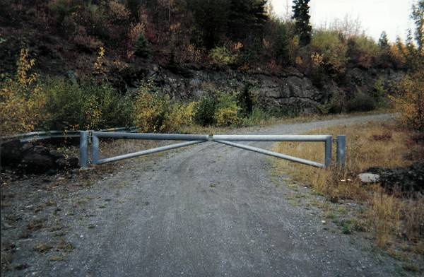
What would I find? How many vehicles had travelled this road before? So many silly questions, and yet I was somewhat surprised when I arrived at a second set of gates (1.9 km from the first gate). Stop the car. Hope these gates aren't locked. Swing them open, and continue the trek up the hill.
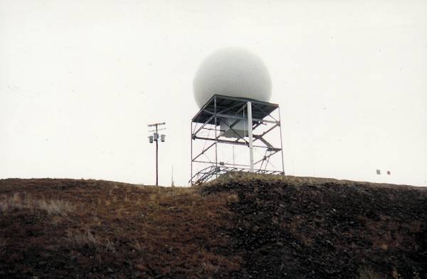
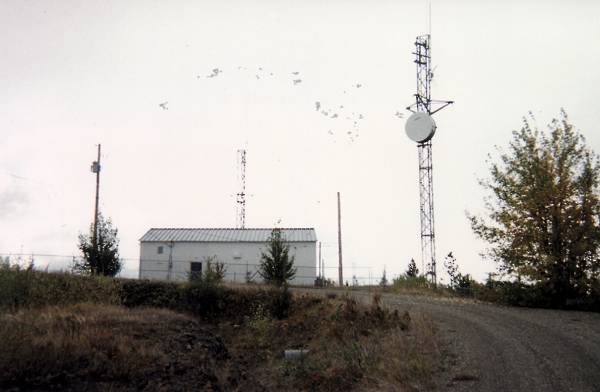
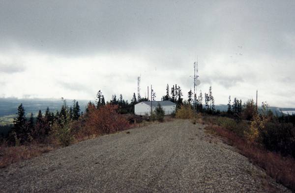
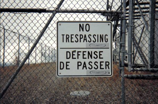
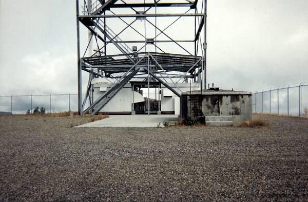
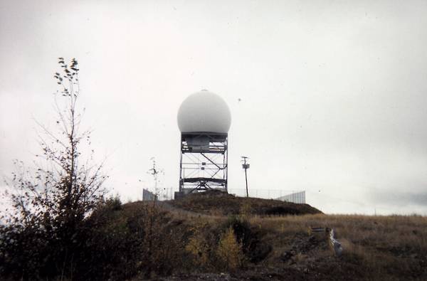
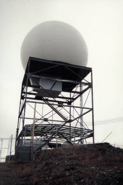
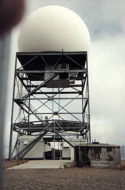
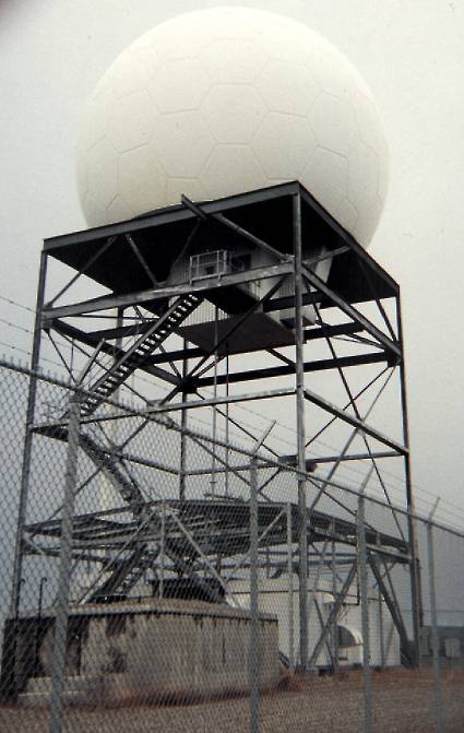
A further 0.8 km and I reached the top of the hill. For you bean counters, that's a total of 2.7 km from the first gate. Much to my surprise, there was a radome on a metal frame, enclosed by a typical wire mesh fence. I was advised that this was current day Air Traffic Control radar which was used by the ATC staff located at the Prince George airport. There was also an enclosed building that appeared to be telecommunications in nature. Dah.. Guess this is why I was an FCO and not a Comm Tech or a Radar Tech.
I parked the car, walked about, took a number of photos, and reflected on "what once was located on this very spot". As can be expected, there were some excellent views. Looking at a 1984 drawing of the Operations site, I was trying to envision the location of where the Operations (DMCC) building, the power plant, the upper gatehouse, the SAGE Annex, the Telco building, the FPS-27 tower, FPS-26 tower and the FPS-6 tower might have been located. Unfortunately, all that remained was some asphalt roads and parking areas.
We offer a number of photos in an attempt to show what remains today. Enjoy.
| Return to the Details Page |
| Index |
| Return to Top of Page |
Updated: April 25, 2000