Penhold, AB
Photographs


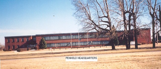
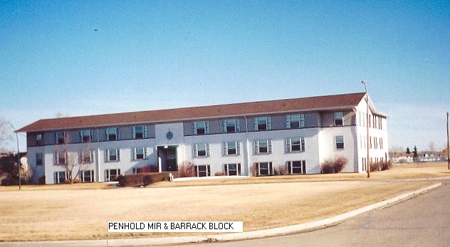
It must be remebered that there were two locations at Penhold. The airport served as the site for all administration, accommodation, medical and messing etc - while 43 AC&W Squadron was located some 15 or so miles to the east.

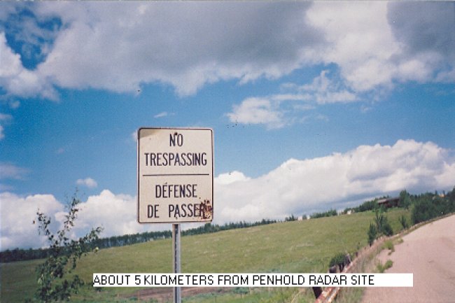
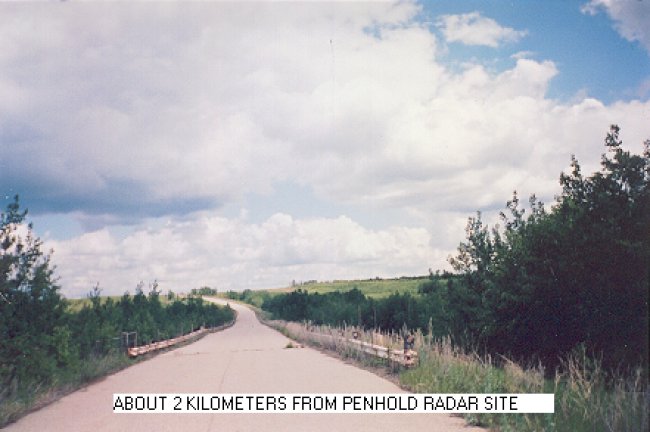
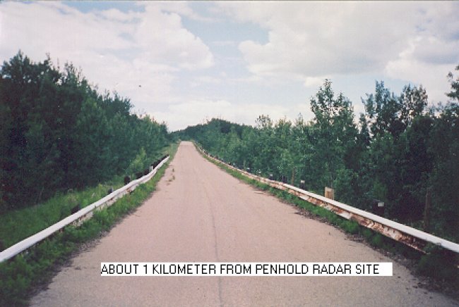
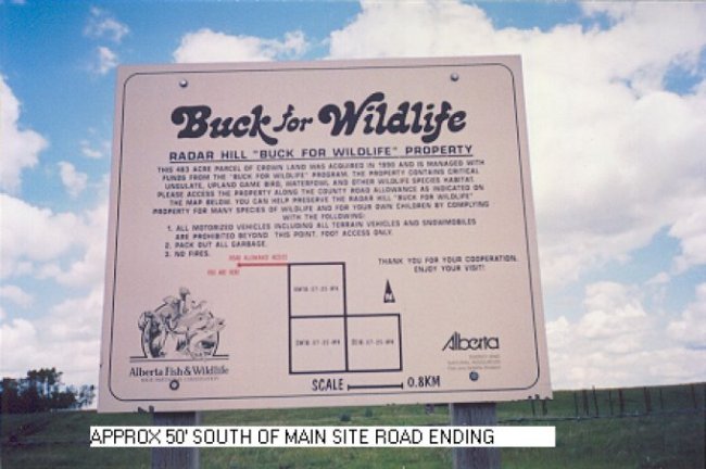
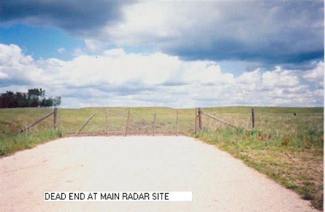
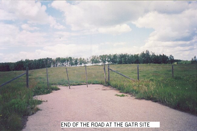
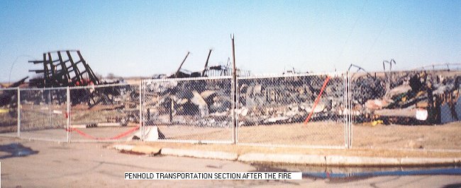
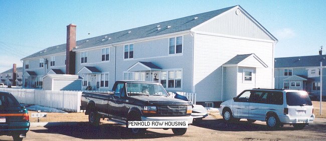
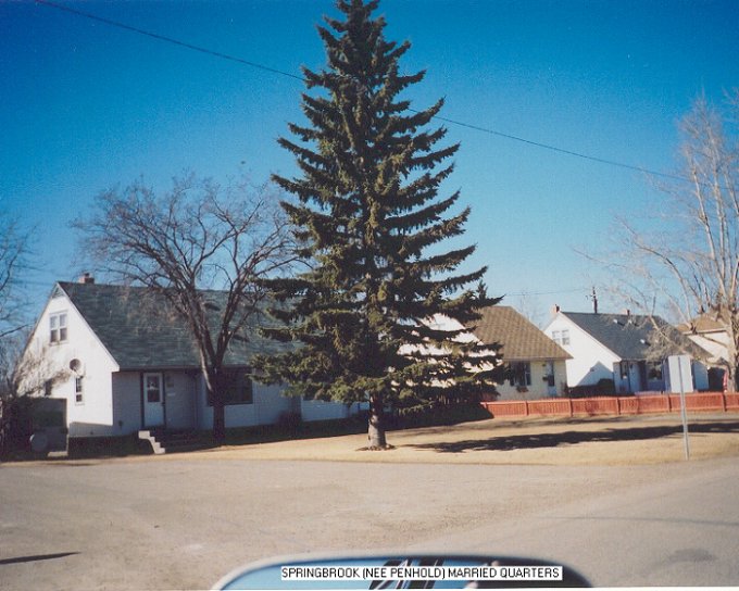
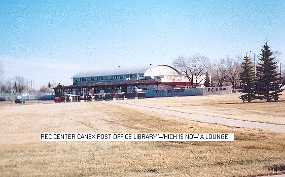
The photos which were taken in March reveal that there are still many buildings that exist at the airport. The radar station, however, is another story. Trapper Nelson reports "according to a local farmer, all the land was returned to the original owners who covered up the cement pads and let everything go back to nature. The only thing that tells you something out of the ordinary ever existed are two roads leading to nowhere".


Click on the description text to view the photograph.
  1. Sign on road about 5 km from the radar site - 26 June 2000.
    Courtesy John (Trapper) Nelson.

  2. Road about 2 km from the radar site - 26 June 2000.
    Courtesy John (Trapper) Nelson.

  3. Road about 1 km from the radar site - 26 June 2000.
    Courtesy John (Trapper) Nelson.

  4. Sign approximately 50 feet south of main site road ending - 26 June 2000.
    Courtesy John (Trapper) Nelson.

  5. End of road at main radar site - 26 June 2000.
    Courtesy John (Trapper) Nelson.

  6. End of road at GATR site - 26 June 2000.
    Courtesy John (Trapper) Nelson.

  7. Headquarters building at CFB Penhold - March 2000.
    Courtesy John (Trapper) Nelson.

  8. MIR and barrack block - March 2000.
    Courtesy John (Trapper) Nelson.

  9. Transportation Section after the fire - March 2000.
    Courtesy John (Trapper) Nelson.

  10. Row housing area - March 2000.
    Courtesy John (Trapper) Nelson.

  11. Springbrook (nee Penhold) Married Quarters - March 2000.
    Courtesy John (Trapper) Nelson.

  12. Recreation Centre, Canex, Post Office and Library (now a lounge) - March 2000.
    Courtesy John (Trapper) Nelson.


Photographic Credits

All photos are used with permission.


Return to the Details Page

Index
Return to Top of Page

Updated: July 1, 2000