Click on the description text to view the photograph.
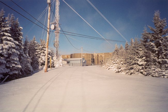
- The Operations site, looking north - 24 December 2002.
Courtesy Rene Roy.
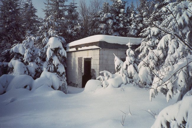
- Pumphouse #4 - 24 December 2002.
Courtesy Rene Roy.
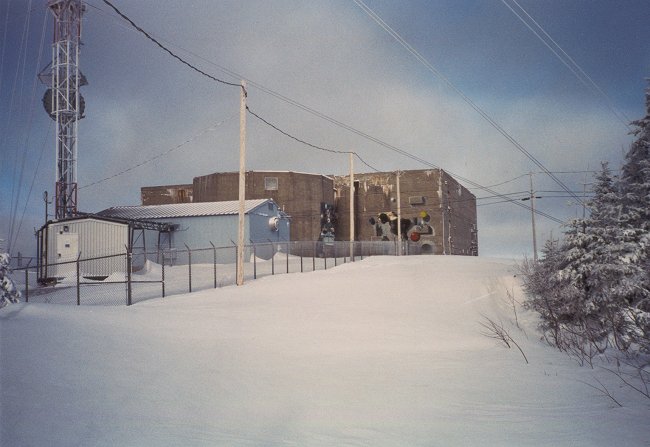
- Operations building, looking north - 24 December 2002.
Courtesy Rene Roy.
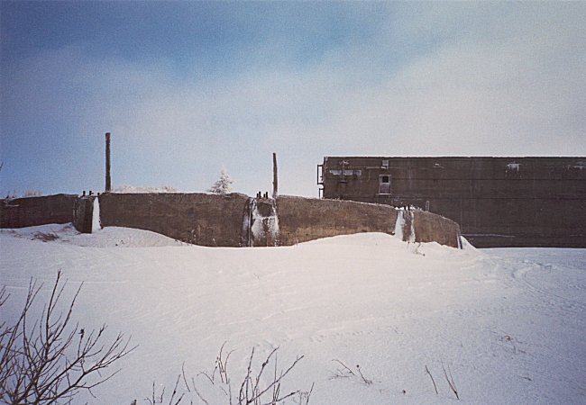
- Tower foundations and Operations building, looking east - 24 December 2002.
Courtesy Rene Roy.
- Pipes from underground reservoir - 24 December 2002.
Courtesy Rene Roy.
- Aerial photo of the remains at the Domestic site - September 2002.
Courtesy Tom Page.
- Aerial photo of the remains at the Domestic site - September 2002.
This version has been altered to show the locations of where buildings once existed.
Courtesy Pat Heinbecker (now Chenier).
- Aerial photo of the remains at the Operations site - September 2002.
Courtesy Tom Page.
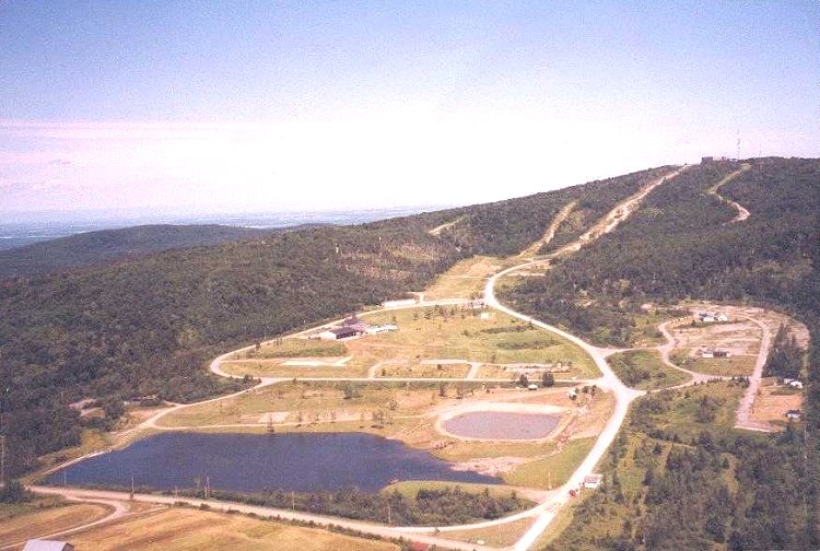
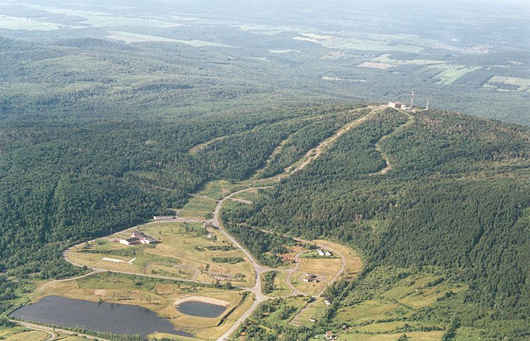
- Aerial photo of the Domestic site (foreground) and the Operations site (background on the hill) - 16 July 2002.
Courtesy Luc Brousseau.
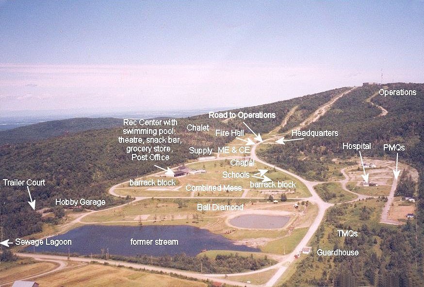
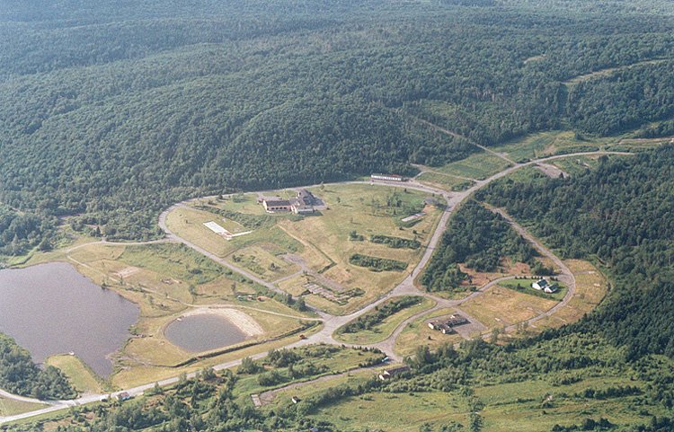
- Aerial photo of the Domestic site - 16 July 2002.
Courtesy Luc Brousseau.
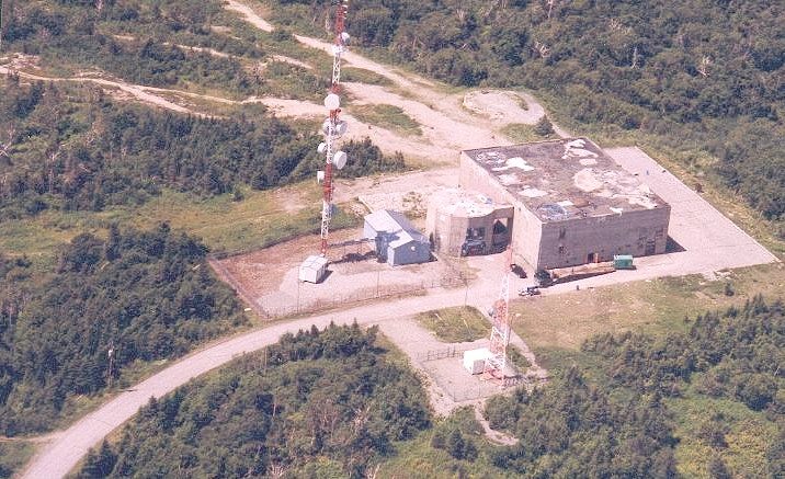
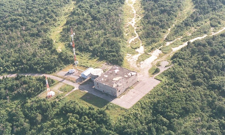
- Aerial photo of the Operations site - 16 July 2002.
Courtesy Luc Brousseau.
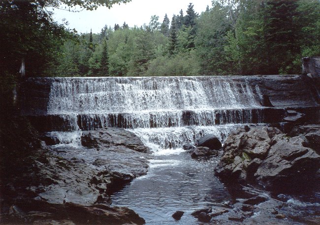
- Dam on the Beaurivage River - 23 June 2002.
Courtesy Rene Roy.
- Pumping station at the dam on the Beaurivage River - 23 June 2002.
Courtesy Rene Roy.
- Pumphouse #2 along the back road to the station - 19 May 2002.
Courtesy Rene Roy.
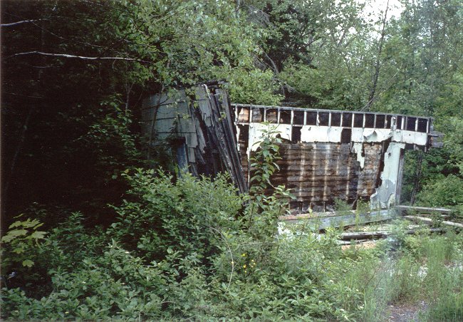
- Remains of Operations building - 19 May 2002.
Courtesy Rene Roy.
|