Click on the description text to view the photograph.
- Map of Radar Hill showing the layout of the site - 20 September 2004.
Courtesy Jim Anderson.
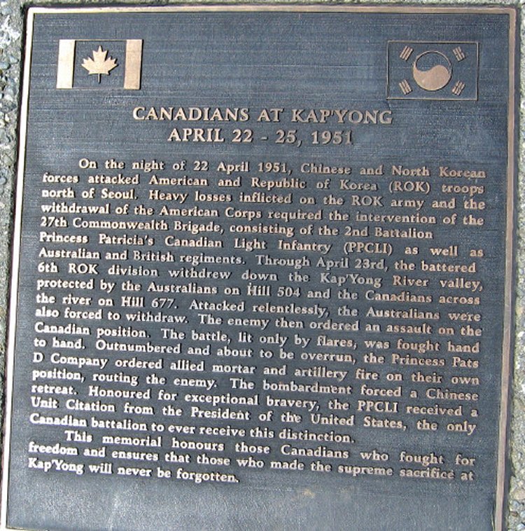
- This plaque was located on the site of of one of the Pinetree Line Height Finder towers - 20 September 2004.
Courtesy Jim Anderson.
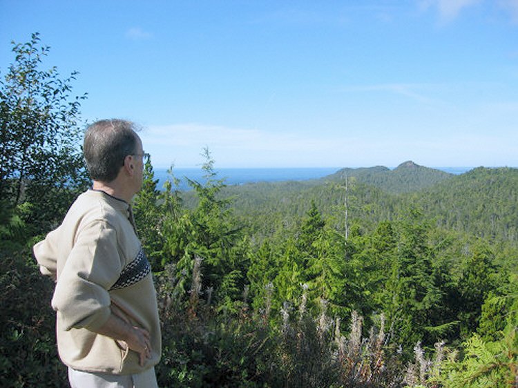
- Jim Lynch looking at the view from the location of the Height Finder tower - 20 September 2004.
Courtesy Jim Anderson.
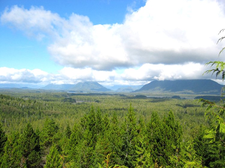
- View of the surrounding landscape from the top of the hill - 20 September 2004.
Courtesy Jim Anderson.
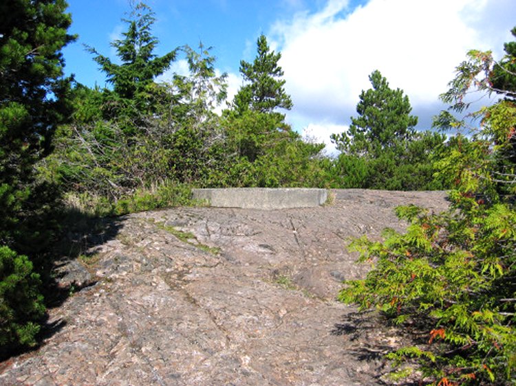
- The location of one of the Pinetree Line Height Finder towers - 20 September 2004.
Courtesy Jim Anderson.
- The location of the Pinetree Line search radar tower - 20 September 2004.
Courtesy Jim Anderson.
- Site of the second Pinetree Line Height Finder - 20 September 2004.
Courtesy Jim Anderson.
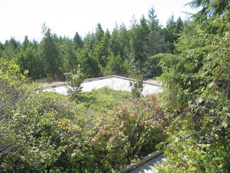
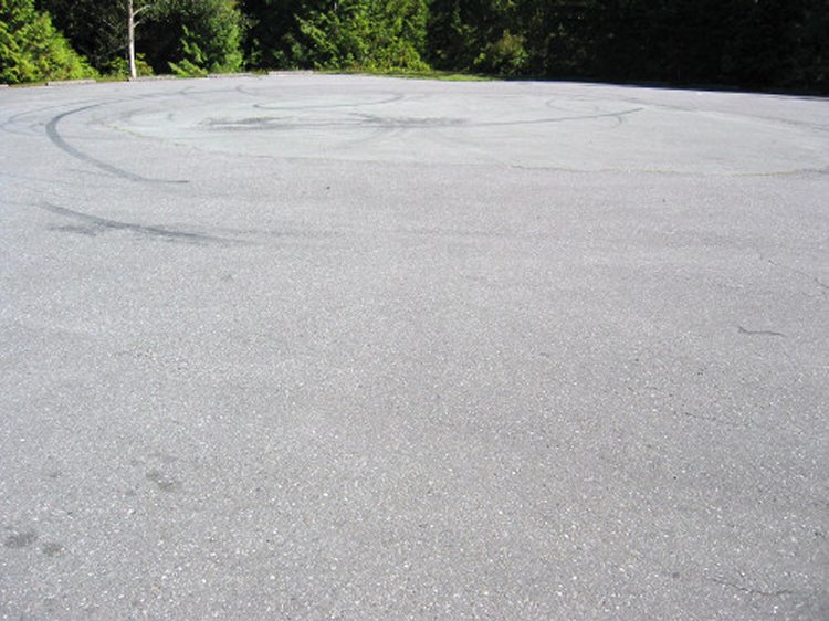
- Site of where the Operations building was located - 20 September 2004.
This is where we would have found the radar scopes, vertical plotting board and the parking lot.
Courtesy Jim Anderson.
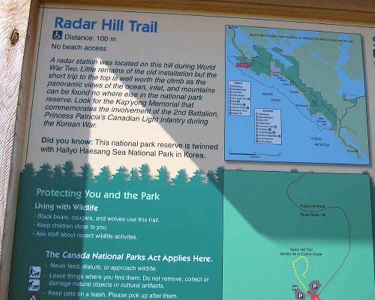
- Detail pertaining to the World War II radar station - 20 September 2004.
Courtesy Jim Anderson.
|