Tofino, BC

1971 – Operations Site, Domestic Site and Surrounding Area
Pacific Rim National Park


March 1999

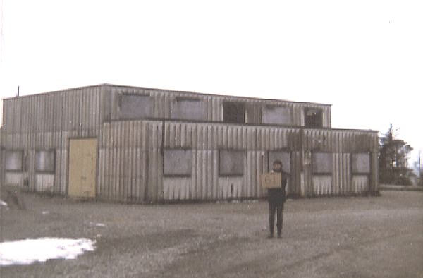
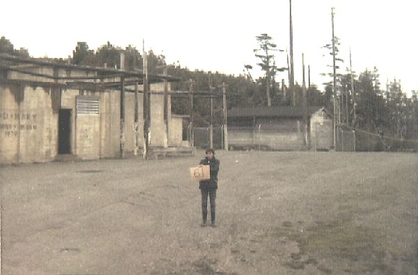
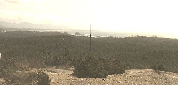
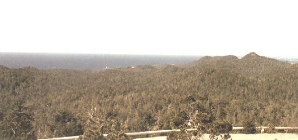
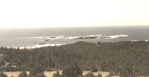
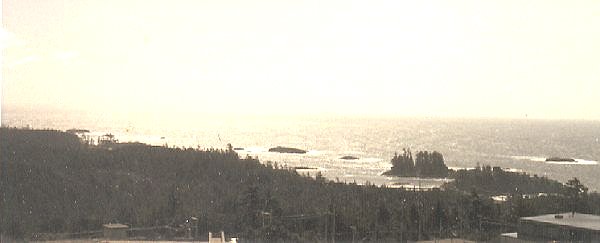
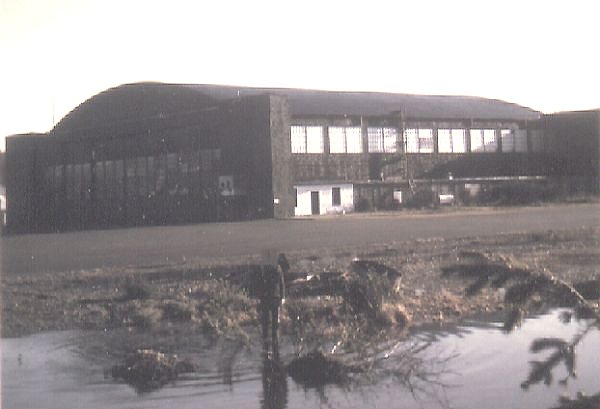
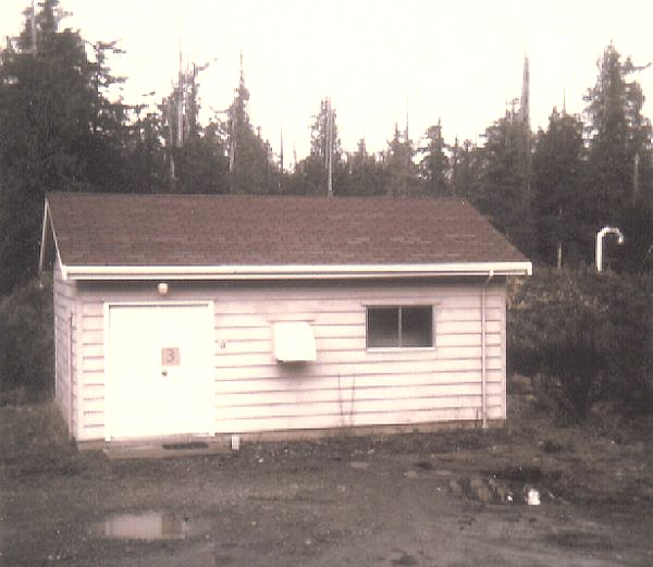
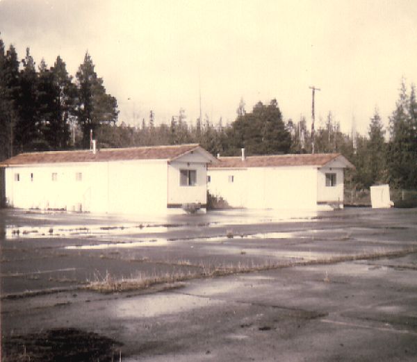
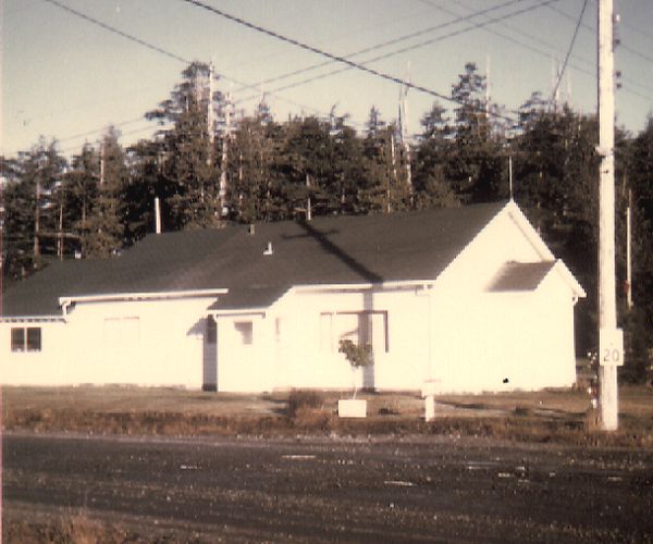
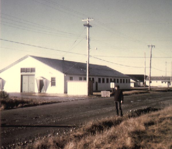
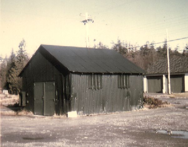
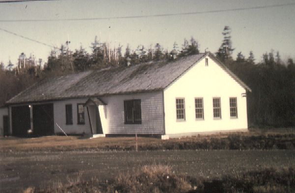
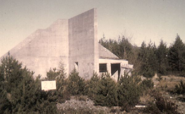
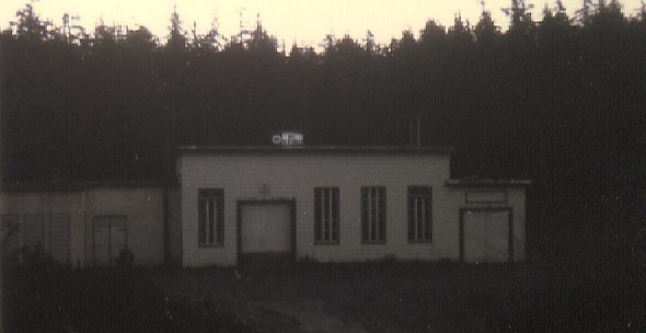
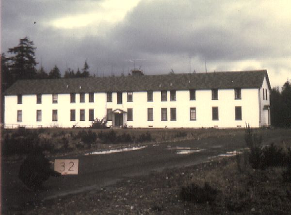
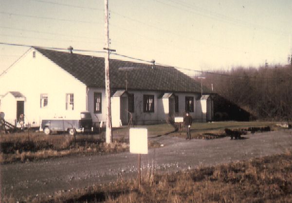
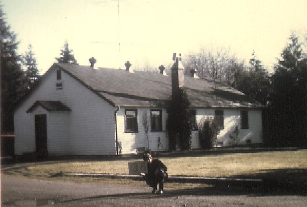
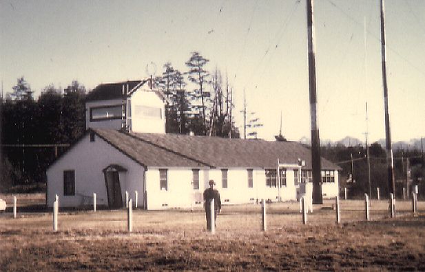
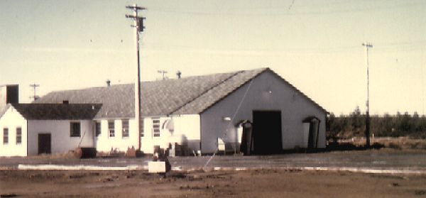
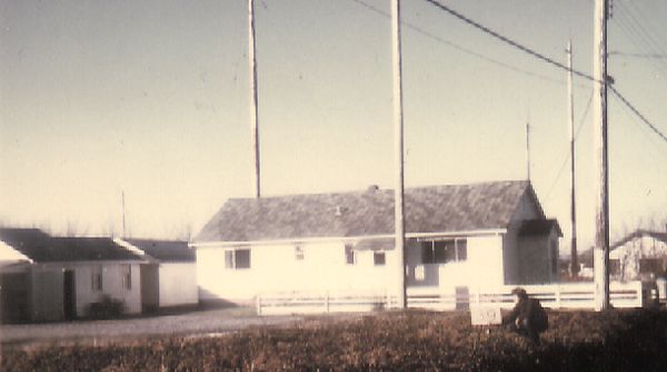
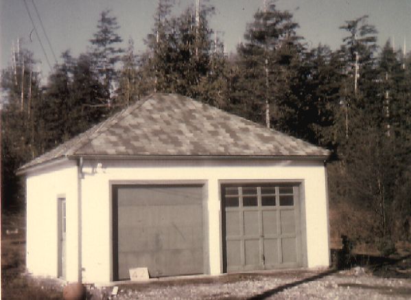
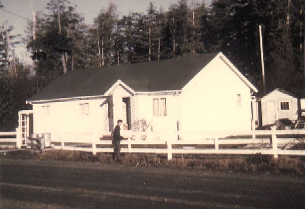
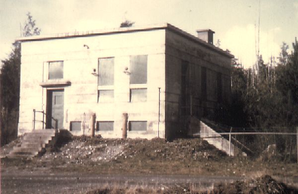
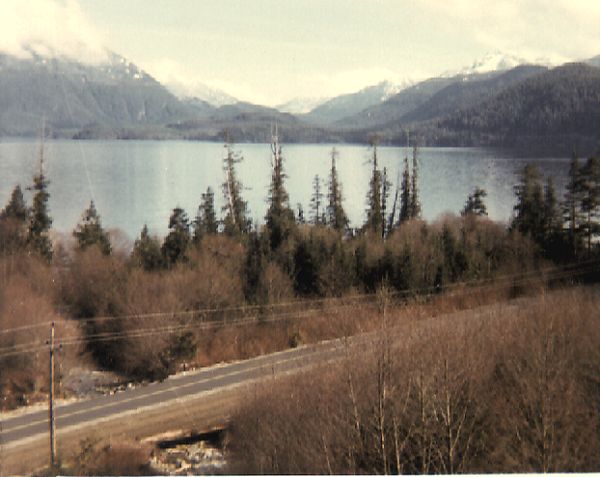
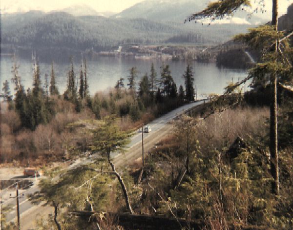
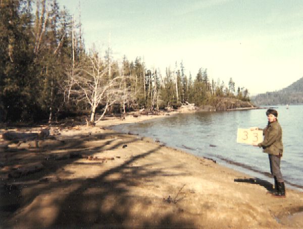
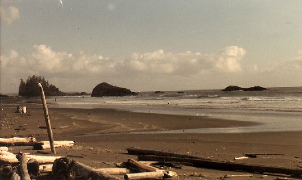
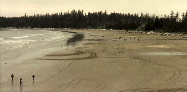
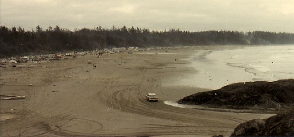
The Pacific Rim National Park (PRNP) completed an inventory of buildings in March 1971. We have obtained a number of photos and we are adding these to the web site in an attempt to show you what remained at the Operations site (Radar Hill) as well as the Domestic site which was located at the airport. It must be appreciated that these photos were taken in March 1971.

The towers at the Operations site had aleady been dismantled in January 1962 - leaving very little behind. As a matter of fact, there were only three buildings remaining on Radar Hill in March 1971. The largest of the three was the Power Plant - which had a steel frame, consisted of one large room and had outside dimensions of 65' x 60'. The Operations building was made of reinforced concrete, consisted of six rooms and had outside dimensions of 70' x 40'. The third structure was somewhat smaller. It was located adjacent to the Operations building, consisted of one room and had outside dimensions of 25' x 20'. We have been advised that all of these buildings were removed in 1972.


Click on the description text to view the photograph.
  1. Remains of power plant at Operations site.

  2. Operations building and smaller telecommunications building at Operations site.

  3. View from Radar Hill looking east towards Grice Bay.

  4. View from Radar Hill looking north towards Browning Passage.

  5. View from Radar Hill looking south-east towards Wickaninnish Bay.

  6. View from Radar Hill looking west out to the open Pacific.

  7. View from Radar Hill looking south-west towards Gowlland Rocks.

  8. View from Radar Hill looking south out to the open Pacific.

The Domestic site was located at the airport. There were a number of buildings that remained in March 1971 - but it should be remembered that the Radar Station (52 AC&W Squadron) had been closed for a period of 14 years. I am assuming that many of the buildings which remained when the radar station was closed down were still intact in 1971. These were now under the care of the Department of Transport. Descriptions associated with these photos were those attributed to the buildings in March 1971.

  1. Hangar.

  2. Recreation/Hobby Shop.

  3. Pump House.

  4. Trailers.

  5. Building rented by BC Hydro.

  6. Supply.

  7. Oil and Grease.

  8. Original Fire Hall.

  9. 25 yard range.

  10. Building rented by BC Hydro.

  11. Bomb dumps.

  12. Nine 1/2 suite apartments.

  13. Three suite apartment.

  14. Single dwelling.

  15. Administrative building.

  16. Maintenance garage.

  17. Building rented by BC Hydro.

  18. Garage for Station personnel.

  19. Building rented by BC Hydro.

  20. Repeater Station.

Finally, we present a series of photos which depict some of the more popular surrounding areas which were readily available to the RCAF personnel that were stationed at Tofino back in the 1950s.

  1. Boat launch site at Kennedy Lake.

  2. Kennedy Lake.

  3. Highway to Port Alberni. Kennedy Lake on left.

  4. Day use area at Kennedy Lake.

  5. Schooner Cove - typical beach area.

  6. View from Incinerator Point looking northwest - 23 May 1971.

  7. View from Incinerator Point looking southeast - 22 May 1971.


Photographic Credits

All photos are used with permission.


Return to the Details Page

Index
Return to Top of Page

Updated: March 11, 1999