May, 1999
The Pinetree Line radar station which was located at Beaverlodge, Alberta was first occupied by the 919th AC&W Squadron, located at Saskatoon Mountain. This complex became operational in 1953 and was manned by USAF military personnel until 1 April 1963 when control was handed over to the RCAF. Shortly after the RCAF took control, the complex at Saskatoon Mountain became known as RCAF Station Beaverlodge. The Canadian military maintained this radar station until 1 April 1988 when it was deactivated - along with a number of other locations which had been a part of the Pinetree Line.
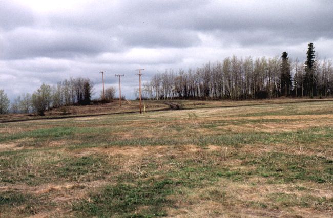
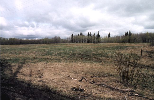
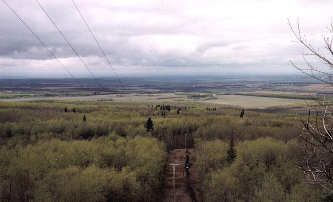
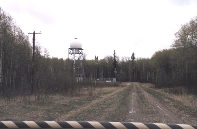
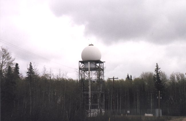
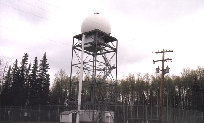
In May 1999, Bob Agar visited the location where 57 AC&W Squadron had once been located.
There is a story, unconfirmed - but seemingly true, that goes as follows. When the federal government negotiated property for the installation of Pinetree Line sites back in 1950-1951, it was with the understanding that "if and when" the radar station was deactivated, the federal government would try to sell the complex in the following order of priority: (a) federal government interests, (b) provincial government interests, (c) municipal government interests, and finally, (d) private interests. If the remaining complex could not be sold - then the federal government was responsible to raze the complex to the ground - so that nothing remained, and in effect - the area was as close to the way it was prior to the commencement of construction, as humanly possible.
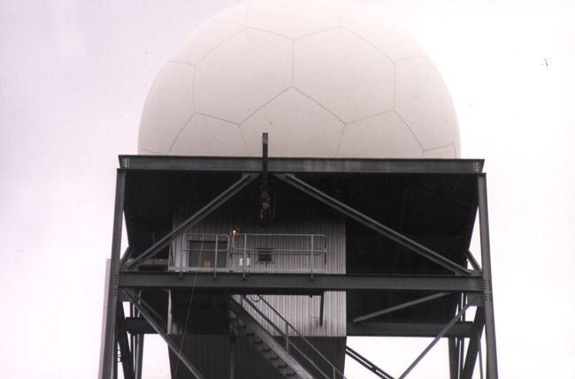
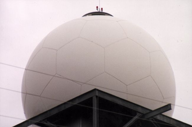
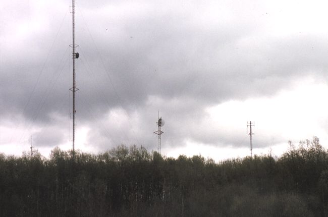
Personally, I have no idea what took place with the closure of Beaverlodge - except to say that nothing, absolutley nothing remained in May 1999. The old location of Saskatoon Mountain is now being used by airport radar and microwave antennas. It is interesting to note the difference between the current radomes of the 1990's, as compared to what we experienced back in the 50s or 60s.
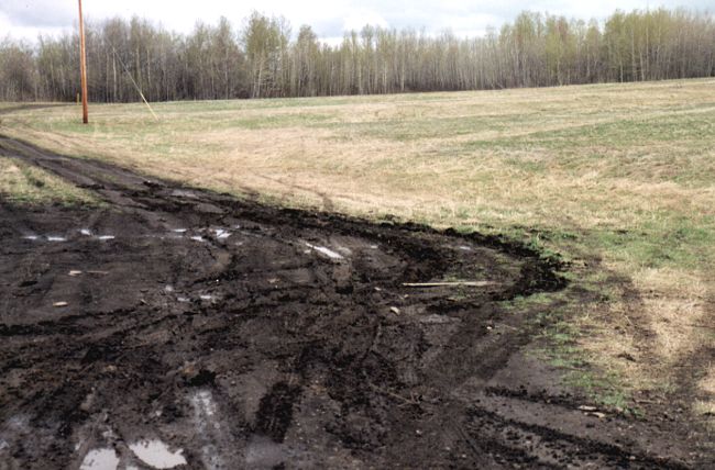
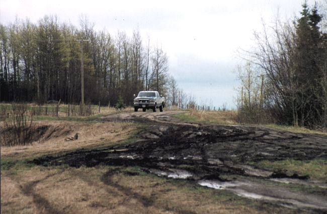
Bob Agar added a word of caution - as follows: "If you ever go to the location where the domestic site once existed DO NOT go off of the pavement (I see where they get the term "Gumbo"). I went off about 60 feet and just barely got out in reverse in 4-wheel drive low range. The ground looked dry at first, but I soon found the vehicle to be no more than an inch or so above the ground. If I had my 5th wheel on board, I would still be there".
| Return to the Details Page |
| Index |
| Return to Top of Page |
Updated: April 25, 2000