Click on the description text to view the photograph.
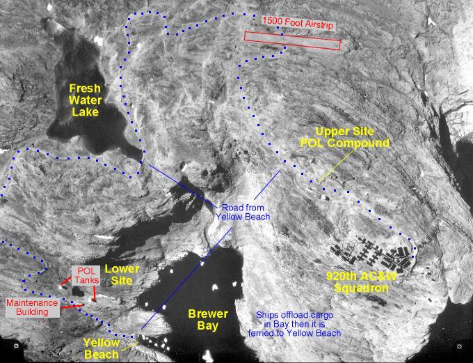
- Aerial photo of Cape Warwick area showing Brewer Bay, Yellow Beach, access road, Fresh Water Lake, airstrip, and radar site - 1971.
Courtesy Scott Mitchell.
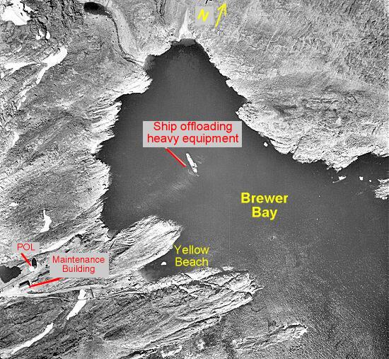
- Aerial photo of Brewer Bay, Yellow Beach, lower site POL compound, and a boat in the bay offloading equipment - 1971.
Courtesy Scott Mitchell.
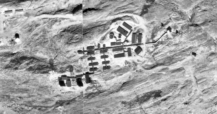
- Aerial photo of upper site - 1971.
Courtesy Scott Mitchell.
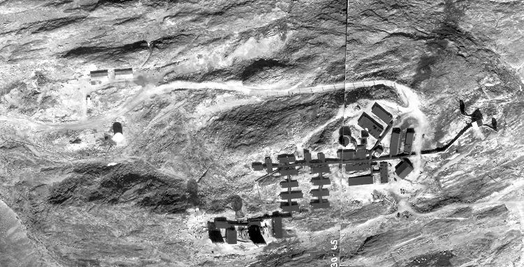
- Aerial photo of upper site - 1971.
Courtesy Scott Mitchell.
|