Resolution Island

1996 - Radio Island Environmental Assessment – Robert Eno


I first communicated with Robert Eno via the Internet in July 1998 with the hopes of obtaining some detail on the radar station which was located at Resolution Island between 1954 and 1961. Ongoing communication continued via the Internet. While this web site is dedicated to the radar stations which formed the Pinetree Line, it was evident that there was more to Resolution Island than the long range radar station which was located at Cape Warwick.

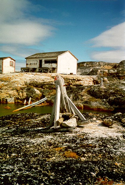
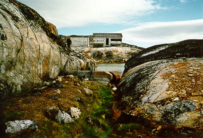
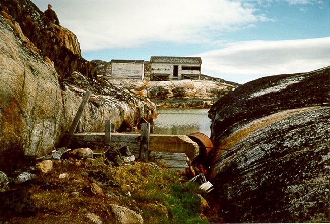
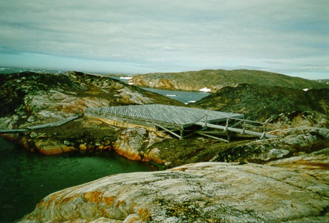
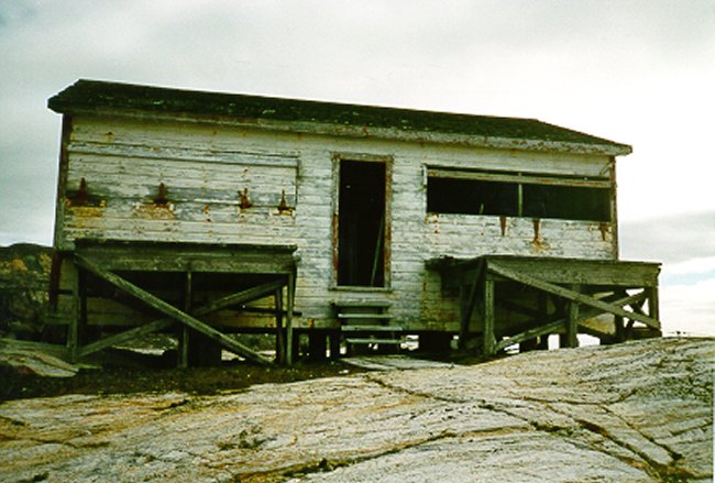
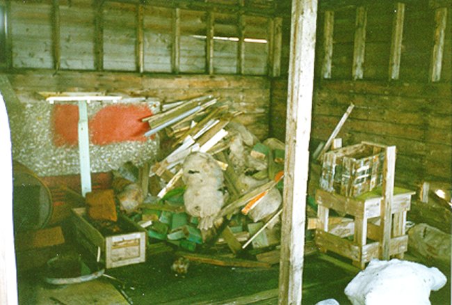
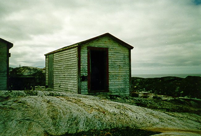
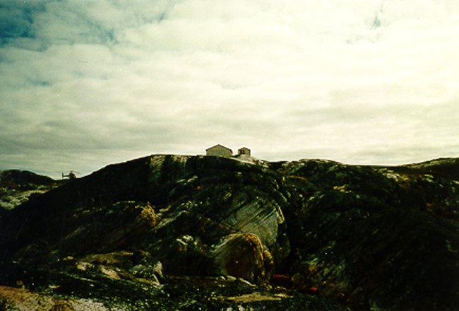
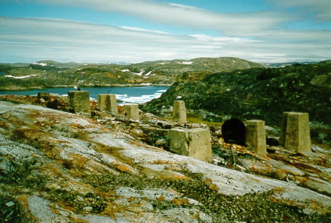
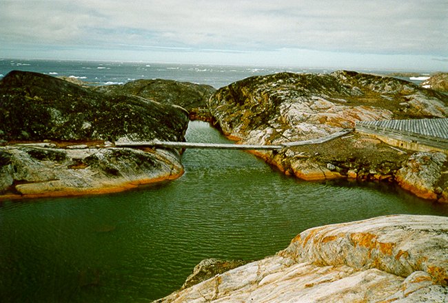
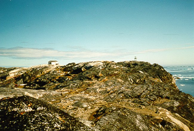
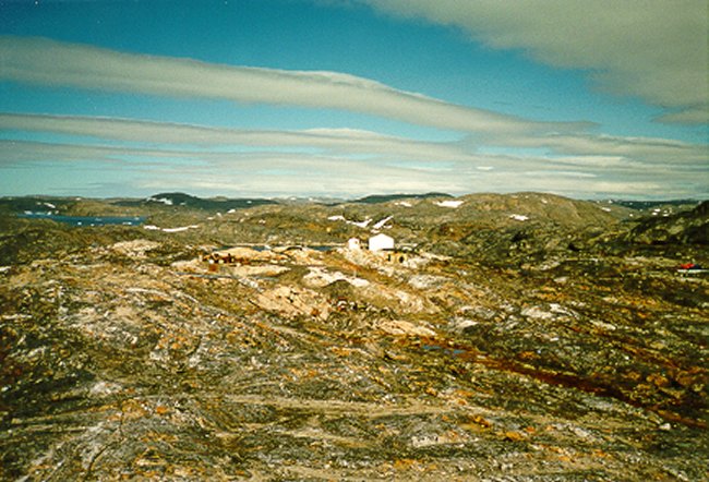
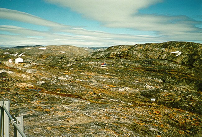
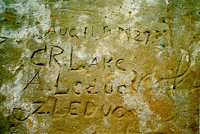
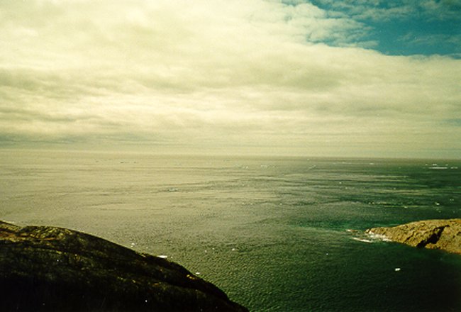
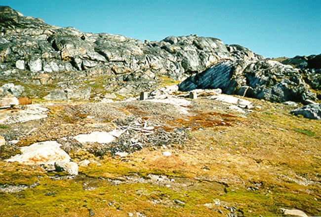
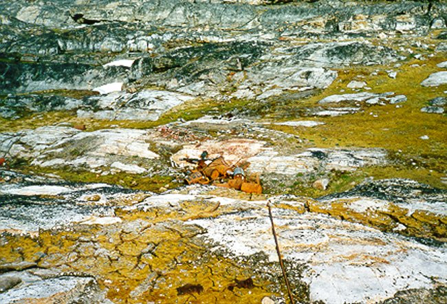
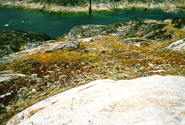
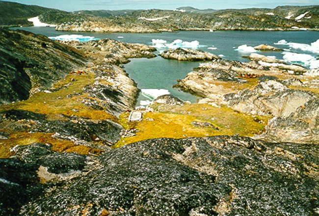
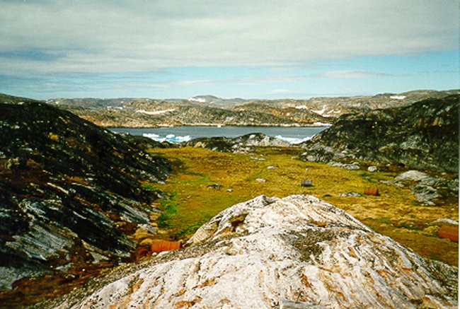
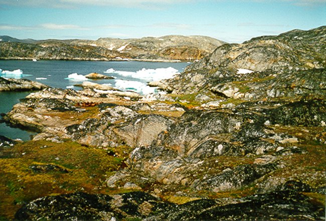
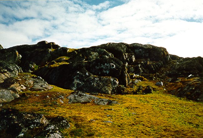
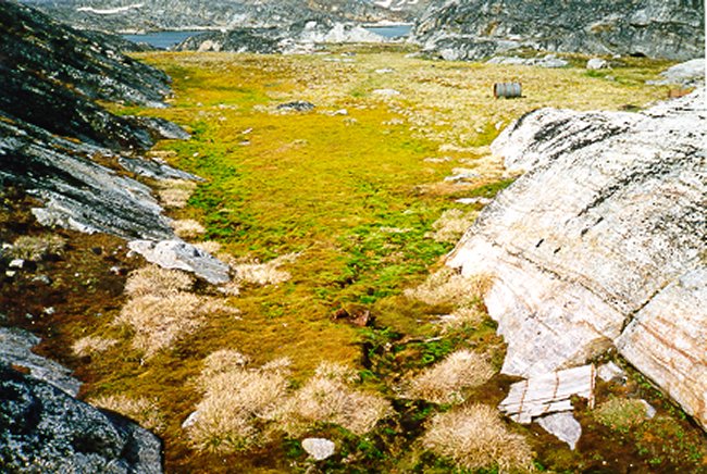
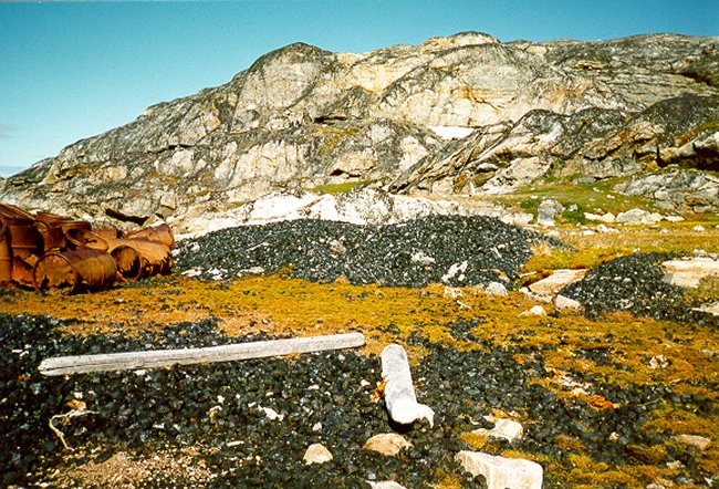
The "Port Burwell radio station, established by the Hudson Strait Expedition of 1927-1928", was considered unsuitable for future use so a site was chosen on a small island just south of Resolution Island. The station was completed in the summer of 1929 and was known as Resolution Island even though it was located on Radio Island. This station was generally open year-round as a navigational aid and weather station until October 21, 1961 when the personnel were evacuated to Frobisher Bay. The station was reestablished at Cape Warwick on the northeast corner of Resulution Island in March 1962.

The following photographs were taken in August 1996 and provide some insite as to what remains on Radio Island.


Click on the description text to view the photograph.
  1. The main living quarters and radio building from the original site - 1929. The cable trolley engine building is to the left. Both of these buildings are in remarkably good condition.

  2. The rear of the 1929 building. Photo facing north.

  3. Main 1929 complex. Photo facing NE. The structure in the foreground is a dam. While the water in the contained pond is stangnant, it is very likely that the purpose of this dam was to provide drinking water for the original inhabitants.

  4. Main 1929 complex. Photo facing NE. The structure in the foreground is a dam. While the water in the contained pond is stangnant, it is very likely that the purpose of this dam was to provide drinking water for the original inhabitants.

  5. The helipad in the midground was constructed over top of an old concrete building foundation. At the time of this photo, it is not known what purpose this building served. It has been assumed that it was built subsequent to the original 1929 quarters.

  6. The original 1929 building. Photo facing NE.

  7. Interior of 1929 building. Most of the debris in the corner of the building consists of sacks of anthracite coal. Note the homemade stove on the extreme left.

  8. The Winch Shed. Inside, is a large engine which powered the overhead cable trolley which was used to ferry supplies from the loading area on the shore to the top of the hill where the original site was situated. The 1929 building is on the left.

  9. View looking SSE. The building on the left is the original 1929 living/work quarters. The smaller building beside it houses the engine which powered the cable trolley. The latter was used to ferry equipment from the beach to the main site.

  10. The remains of what is believed to be the radio building, directly behind the 1929 building. Photo facing north.

  11. A holding pond in front of the 1929 building. Note the dam on the far end (of the narrow section). This pond is now stagnant, but it is assumed that this was used as a source of potable water in the first few years of this site. Photo facing west.

  12. The still active navigational beacon. This is generally activated in July. Photo facing SE.

  13. Photo facing ENE. The main (1929) complex is in the mid-left. The aluminum structure to the mid-right is the active navigation beacon.

  14. Facing north. Power station to the left of the main complex.

  15. Facing north. Original 1929 building complex in the upper right. Photo taken from the top of the light beacon at the south end of the island.

  16. Inscription on concrete foundation.

  17. Currents off the SE tip of Radio Island.

  18. Radio Island Environmental Assessment.

  19. Radio Island Environmental Assessment.

  20. View looking NNW towards Boatswain Island. This is the likely pathway of the former cable trolley system.

  21. Looking NNW towards Boatswain Island. The area to the left is a dumpsite. There are also remains of a building to the right of the photo. There are also huge piles of coal beside the pile of barrels.

  22. Drainage area facing NNW towards Boatswain Island.

  23. Looking NNW towards Boatswain Island.

  24. Radio Island Environmental Assessment.

  25. Radio Island Environmental Assessment.

  26. Looking NNW towards Boatswain Island. The drainage area shown has lush vegetation, mostly mosses. The remains of a building are in the foreground.

  27. Piles of coal on the beach at the NW end of the island.


Photographic Credits

All photos are used with permission.


Return to the Details Page

Index
Return to Top of Page

About This Page

Updated: April 25, 2000