Location: - Preston is not normally on a map of Halifax-Dartmouth and a Provincial road map should be consulted. Preston consists of Preston, North Preston and East Preston. As an added bit of information for our visitors to Nova Scotia, Preston takes it's name from The Reverent Richard Preston. The Reverent Preston was an escaped slave from Virginia who arrived in Nova Scotia during the war of 1812-1814 in search of his mother, and freedom.
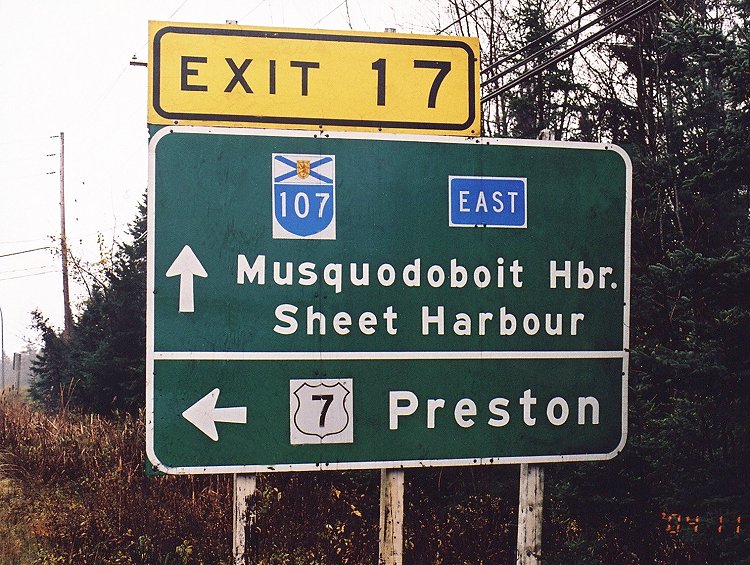
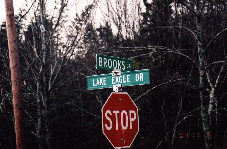
From the Shearwater Museum turn right onto Pleasant Street and return to #11 highway and take exit #7 East. Follow highway #207 which also is Cole Harbour Road. At Forrest Hills Parkway turn left at the lights and right when you reach Main Street. This is highway 107 which by-passes the business district and traffic congestion. Reaching exit #17 get off the freeway and onto #7 highway. Make a left at the corner of Brooks and Lake Eagle Dr and look for an Enviro Depo on the left. Remember this Depot as you might want to stop there on your way back from the radar site.
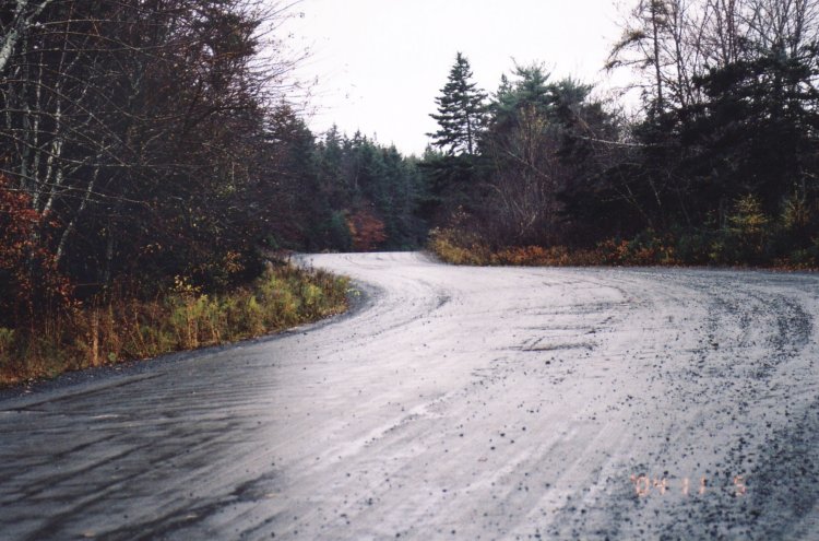
Turn left on Govenore Road (where The Enviro Depo sits) and drive to the end of the pavement. You are now on the top of "Old Look Out Hill" and the former site of the World War II Preston radar facility. On your left there are two houses, the first house was built by a Mr. Rawlings and at one time his storage building sat on a cement pad from the radar site. The shed and the pad are long gone when his wife thought he didn't have enough lawn to mow.
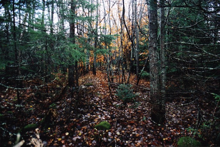
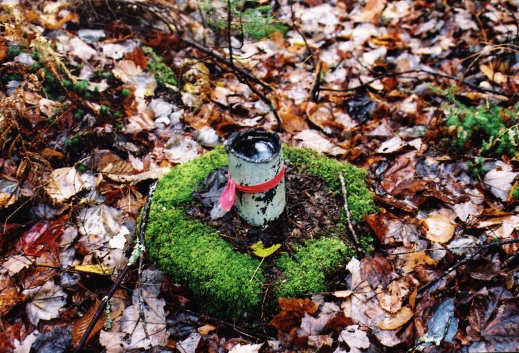
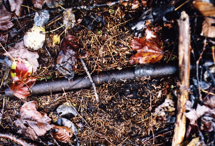
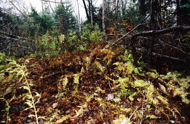
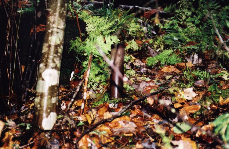
General Detail: - Half way up Govenore Road I encountered several individuals enjoying a few beers in their garage but they were of little help, other than it's up on top of the hill, as one of them pointed his bottle in the general direction. We finally found a trail through the woods to the left beyond the houses and after a considerable search stumbled on to a mound of earth running in a parallel direction to Governors Road perhaps 200 meters in the woods. This did not appear to be a natural formation and almost immediately we found several steel posts which had been sawed off a few centimeters above ground level. Many of these posts have colored tape tied around them as to possibly identify a property boundary.
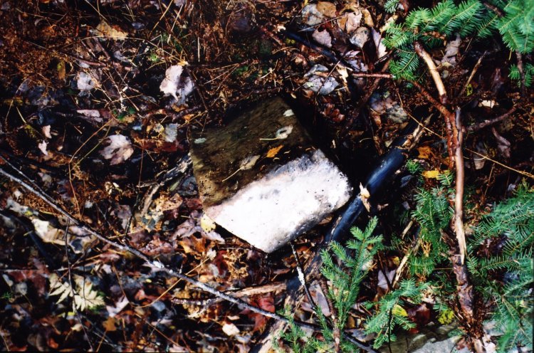
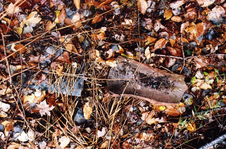
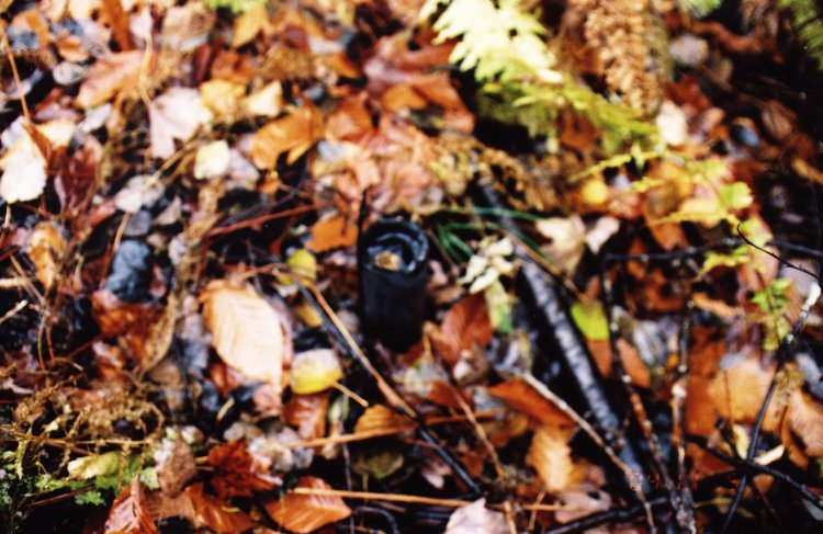
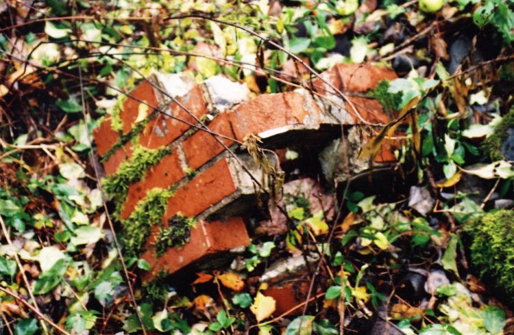
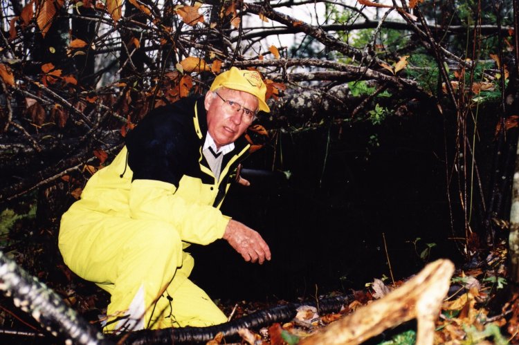
We followed these posts to a spot where we found a large hollow cement block perhaps four meters square and two high, although it was difficult to judge, as all this was covered with moss and fallen trees from last years hurricane. We searched the area and found evidence of other buildings in the form of bricks and cement blocks strewn about, some in a uniform pattern. Again I found old bottles, the type used in the 1940's and I have added one to my collection. We felt sure that the cement foundation was the base of the tower and we searched for the anchor points but to no avail. A cold rain swept in from the North Atlantic dampening our spirits so I exhausted our film and we took our leave.
We stopped at The Enviro Depot to converse with Mr. Rawleings and he told us that there's very little remaining of the radar site for us to see. One of the last remaining steel posts for the perimeter fence was encompassed into my patio foundation as I was unable to remove it he offered as a closing remark.
I found where the tower was located and told him where I had been.
No, what you found was the old septic tank he laughingly said !!
This page is located at
http://www.pinetreeline.org/rds/detail/rds1-9.html
Updated: November 9, 2004