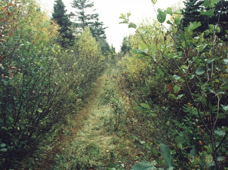
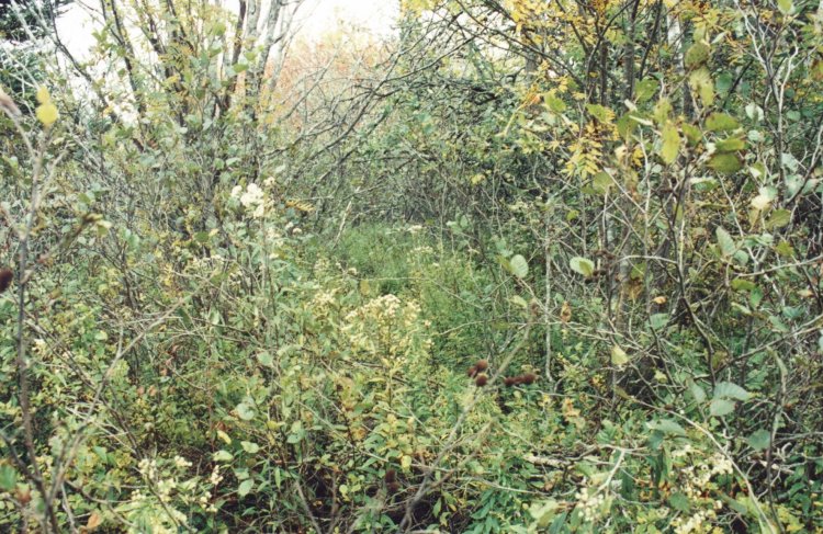
Location: - Drive west on Highway #103 towards Yarmouth. This highway ends at the corner of highway #3. Turn left on #3 highway and follow this road east until you reach highway #334. Highway #334 is 3.5 kilometres from the corner of highway #103 and #3. You cannot miss #334 as there are several road markers on your right with the names of the communities along this highway, the most notable one being Wedgeport, home of the worlds tuna fishing derby. Exactly 2.4 kilometres along this road (#334) on your left and 200 meters through a mosquitoe infested swamp is the remains of the Plymouth Radar site!!
General Detail: - I spent the better part of two hours going from house to house asking the villagers where the remains of the radar site was located. At the very last place I called before I was about to give up, lives Mr and Mrs Gordon Jenkins both over 70 years old and super people. She told me where to find the site and he about blew me away when he said, give me your e-mail address and I'll see what I can find out for you.
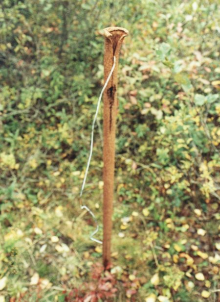
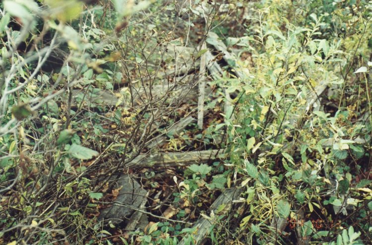
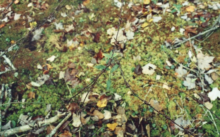
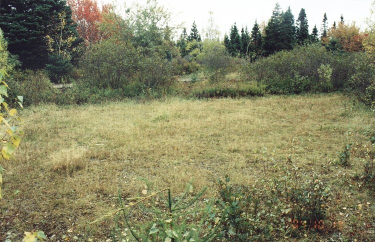
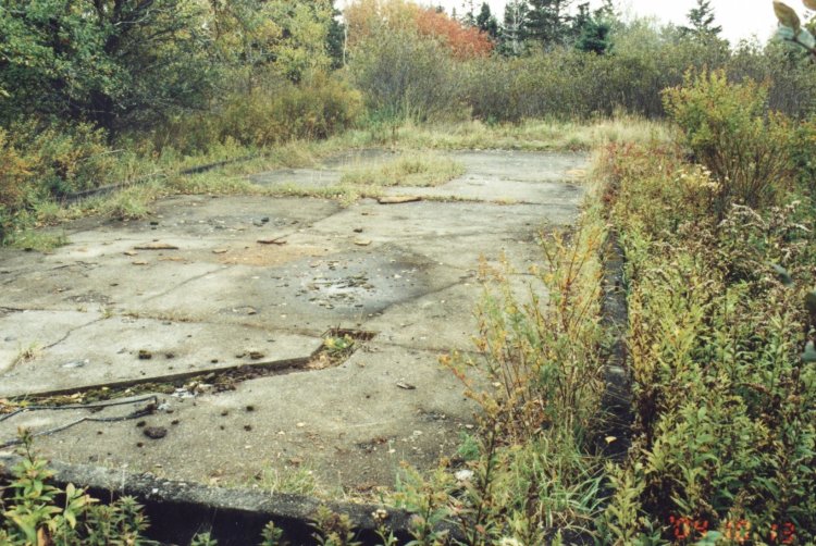
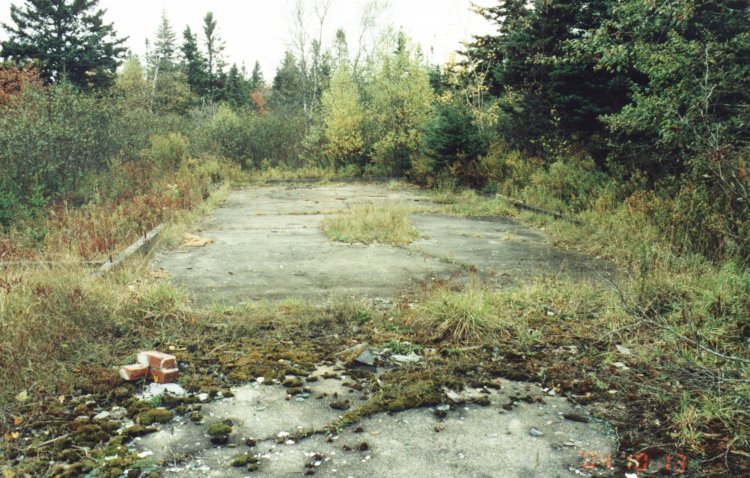
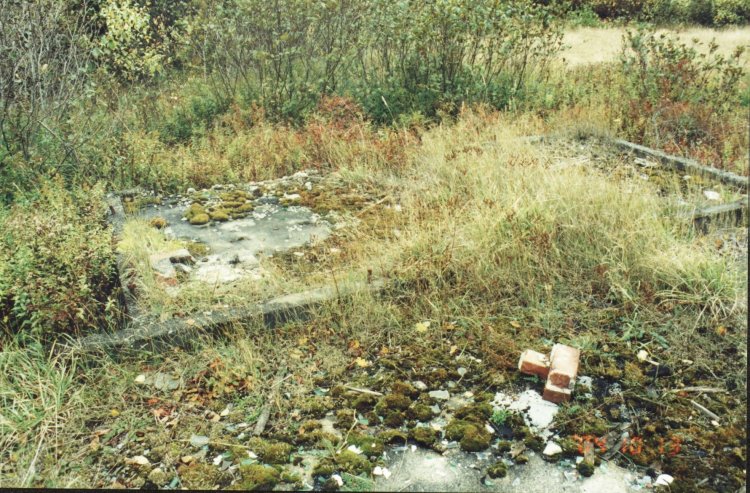
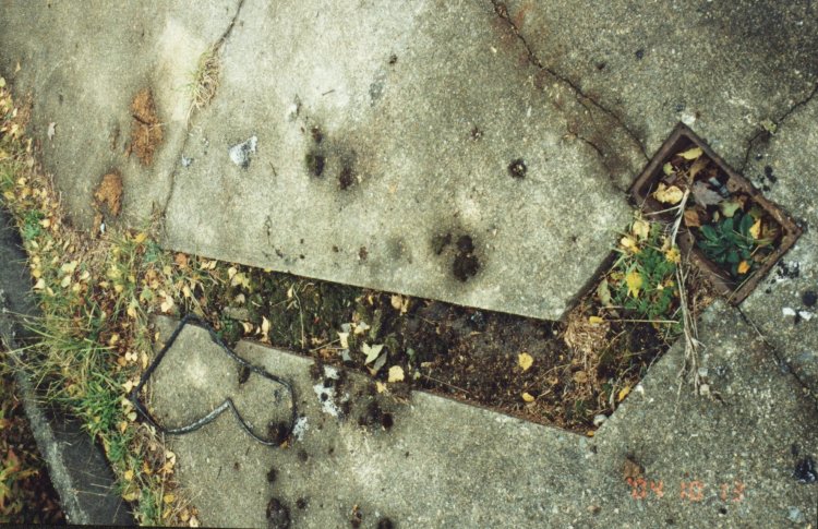
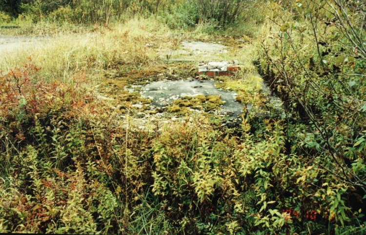
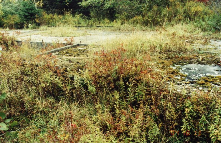
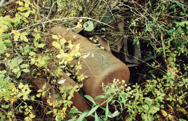
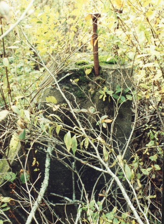
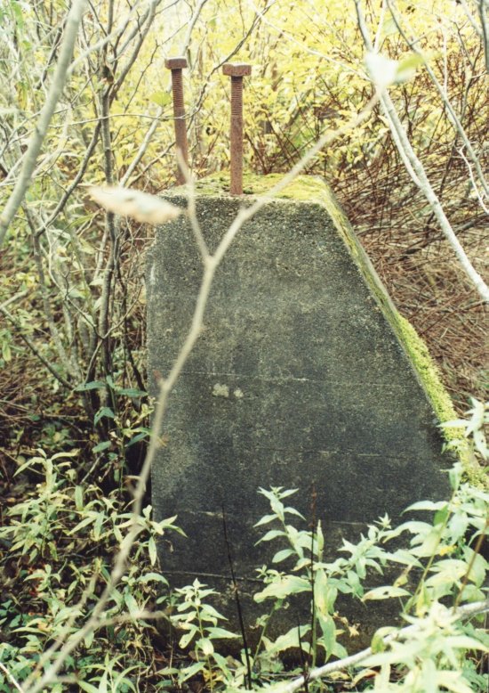
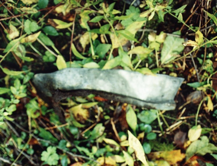
The footings of a building 35x18 feet remain to this day. On the east side is the footing of a building five feet square attached to the main building that must have contained a furnace as the remains of a brick chimney was in evidence. The road in and the spot where the building once sat were the only dry spots in the entire area. I wallered through a swamp and found the remains of two cement pillars that supported the antenna to the south of the building. I walked back to the building (through the swamp - with very wet feet by this time) counting my steps the best I could as I was fighting my way through underbrush and scrub trees and with water over my hiking boots. I then attempted to find other pillars by walking the same number of steps in a westerly, easterly and northernly direction. I found nothing that resembled the other two I had found. The land, if it can be called land, is for sale by a local Realtor. It is presently owned by a Mr Kenneth Pottier.
About This Page
This page is located at
http://www.pinetreeline.org/rds/detail/rds21-5.html
Updated: October 29, 2004