Location: - The community of Port Dufferin is located east of Dartmouth, along Nova Scotia’s rugged Eastern Shore. To be more precise you will find this sleepy village just beyond Sheet Harbour, which will be your first contact with the remnants of Port Dufferin radar site.
You have several options as to how you reach Sheet Harbour and Port Dufferin but if you are in the Halifax area it is a shorter distance if highway 107 is followed. This limited access highway by-passes the congested areas of the various bed room communities east of the City of Dartmouth but soon gives way to # 7 highway. This road follows the coastline through some of the most scenic areas in the province and care should be taken when traversing this highway as it’s heavily traveled during the tourist season.
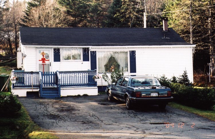
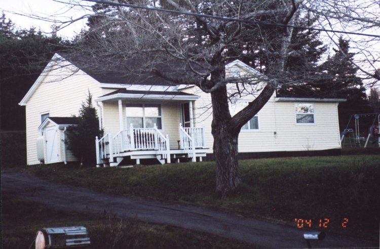
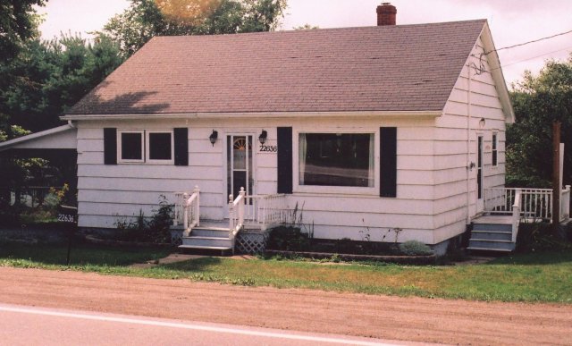
On reaching Sheet Harbour an Irving Mainway service station on your right greets you as you enter the community and this is a good place to stop for a coffee break. Continue on through town and observe sitting on a hill overlooking the harbour the local hospital. Park here on the street and face the water. Directly in front of you is a large older well maintained home and to the right of this is a small white cottage, equally well cared for with grounds well manicured. This building was moved from the radar site when it closed in 1945 and has remained a private dwelling ever since. I was unable to secure a picture of this house as darkness had overtaken me as I was returning from Port Dufferin. I intend to return when time permits.
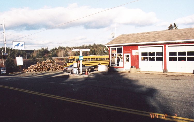
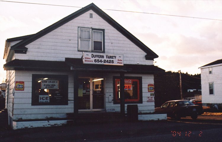
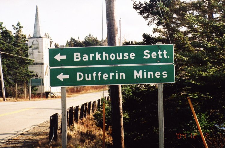
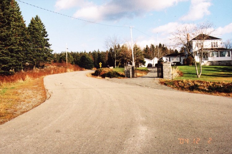
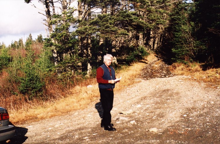
Entering Port Dufferin from the east, you round a left turn in the road and down a slight hill, directly in front of you is the village nestled on the shores of a cove containing fishing boats of all sizes and colours. The village consists of a gas station, a connivance store and perhaps two dozen houses. Just beyond the store a paved road to the left leads up a sharp hill past a home with two large pillars marking the driveway. Drive up this road to the end of the pavement, .02 kilometers and park.
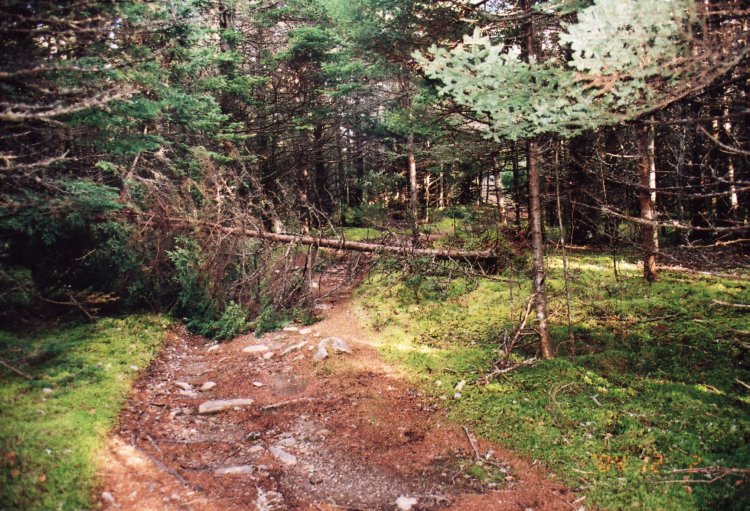
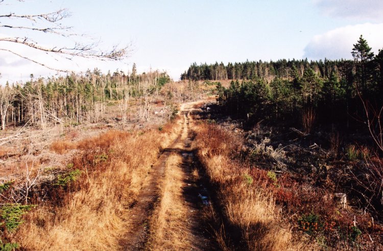
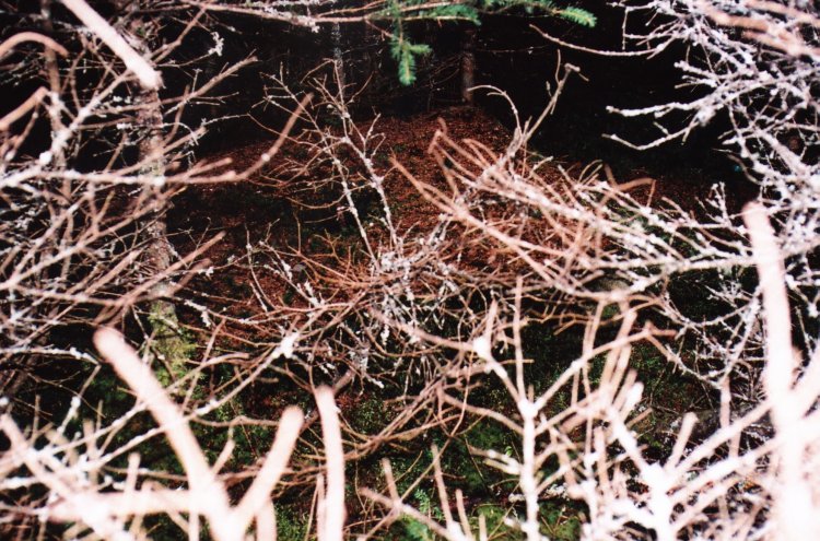
From now on you must walk up hill for twenty minutes or more. The first few meters are through spruce and fir trees but you soon enter into an area that has been clear cut. The way is easily followed as this is a favorite route for ATV’s and the trail is well marked with empty beer cans and cigarette packages. Apparently many of the locals have not heard of the recycling program in the province!
The trail becomes steeper and curves off to the right and then to the left in an “S” curve as you reach a fork in the road. As Yogi Berra said, when you see a fork in the road, take it. As here it does not make any difference which fork you chose as both leads to the radar site. I chose the right fork and all the pictures taken are in an anti-clockwise direction. Enjoy your walk!
General Detail: - The locals refer to the site as "Airforce Hill". It is the highest point along the eastern shore and I was advised that the site is just a little over 300 meters in height. From the top, I could see far out over the village and the ocean.
Before I began this hike I spoke with the owner of the service station and his mechanic who provided me with directions, and called the location "Airforce Hill." They gave me three names of local citizens who had lived in the area when the radar station was operating and perhaps might have pictures of the site from the 1940’s, but I found no one home. They also pointed out several houses that had been moved from "Airforce hill" and remain to this day as homes in and around Port Dufferin.
The names of the local citizens are: Joe Watt (97 years old and at the time I called on him, was moose hunting)! Mr. Watt lives opposite the local fire hall. John McLennan and Gerald Stewart can be found, if they are home near the Coast gasoline station.
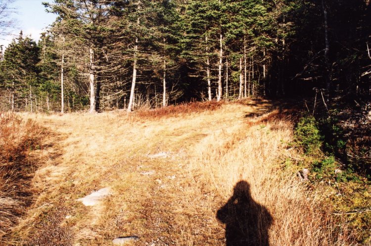
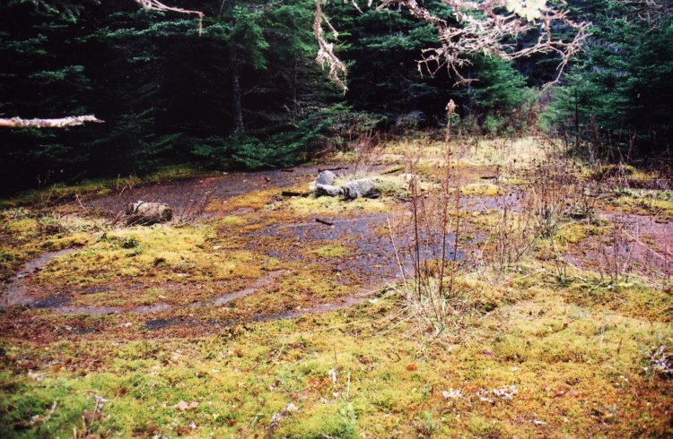
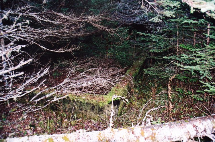
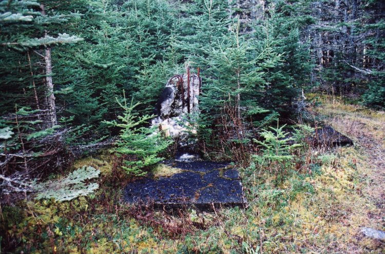
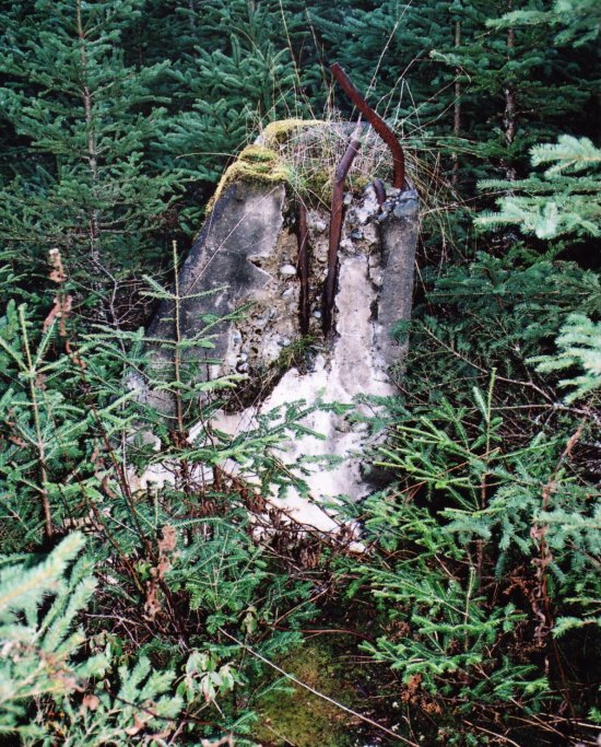
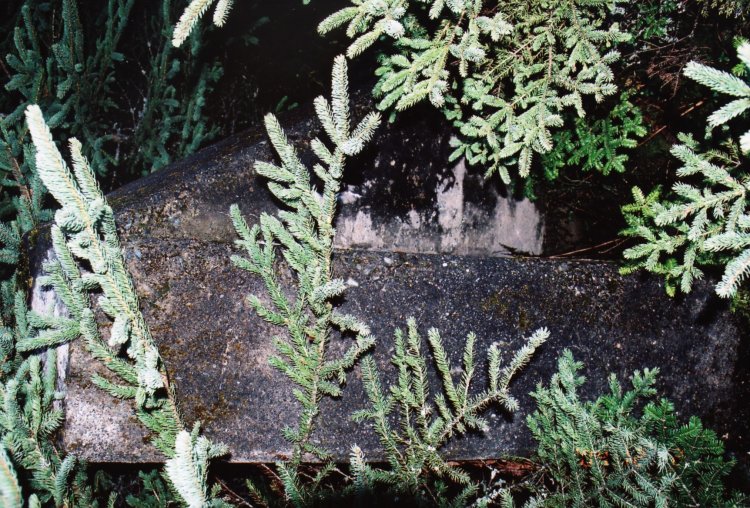
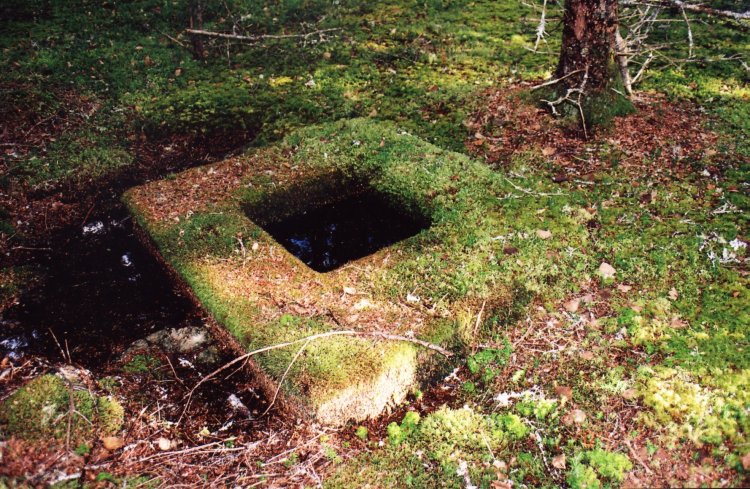
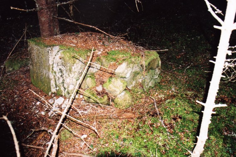
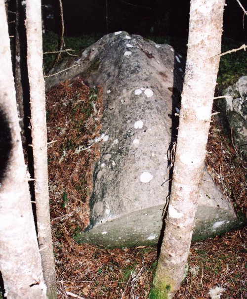
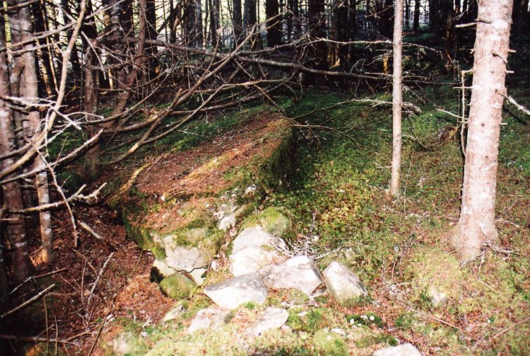
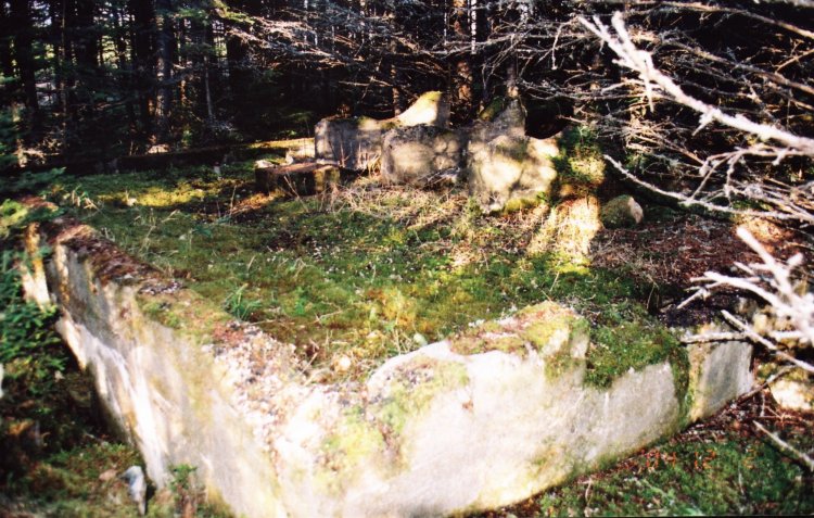
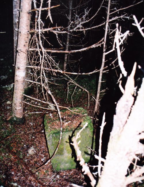
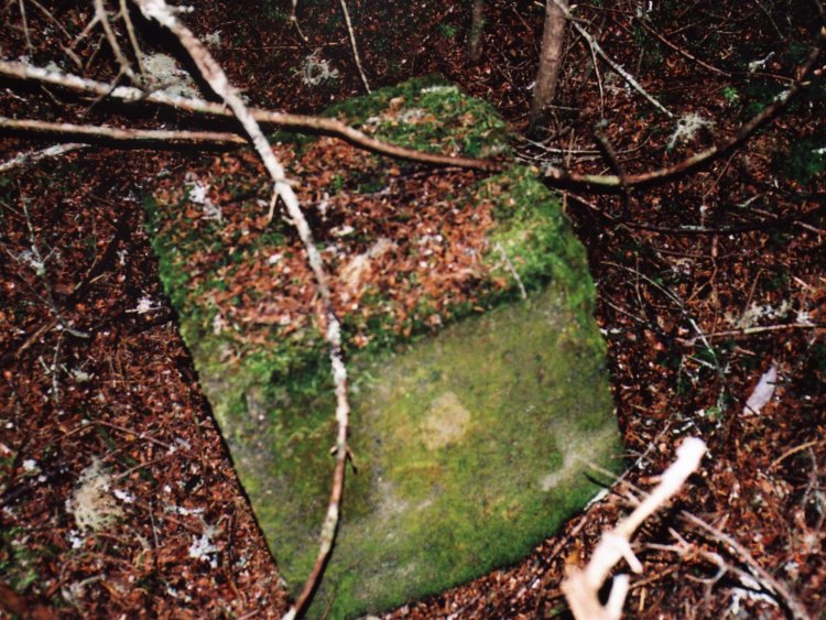
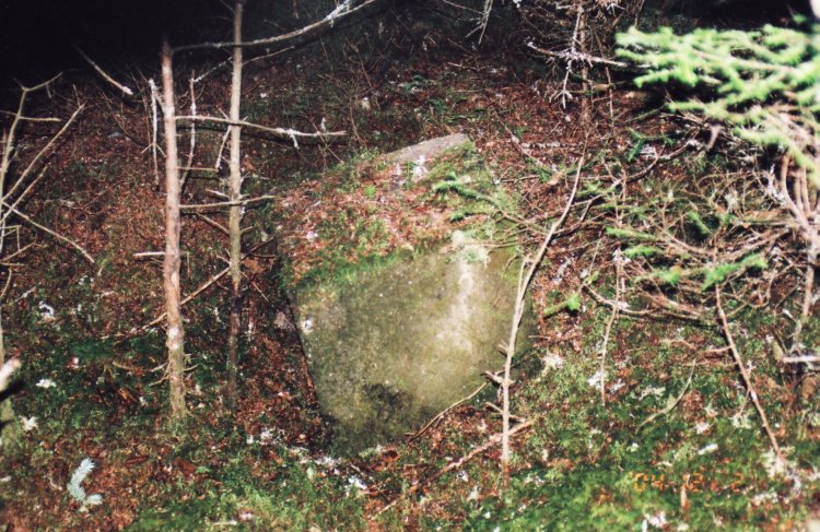
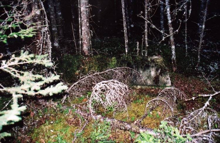
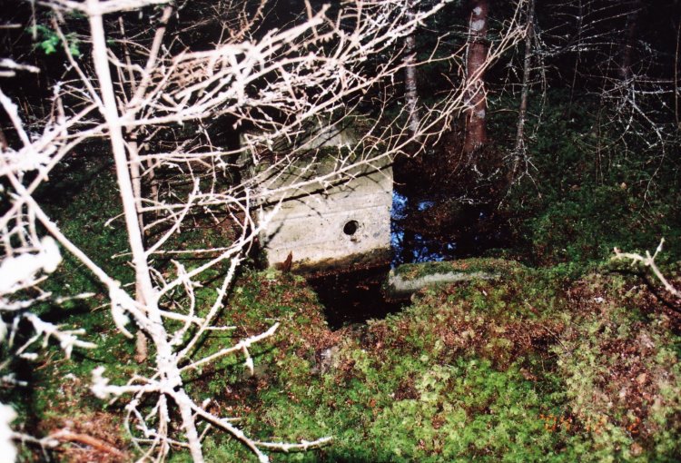
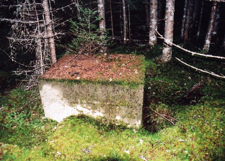
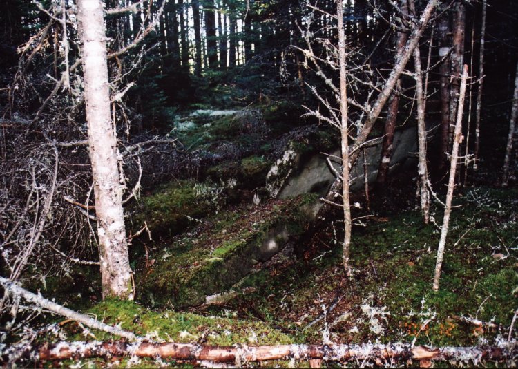
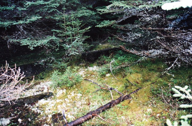
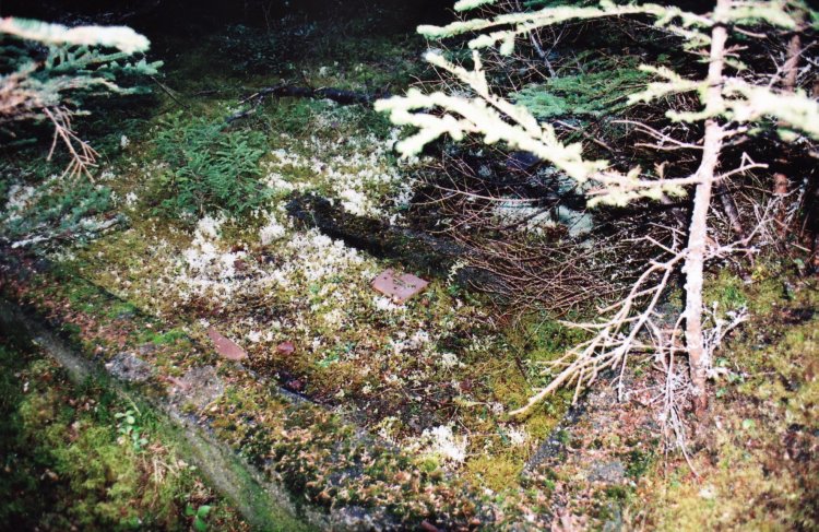
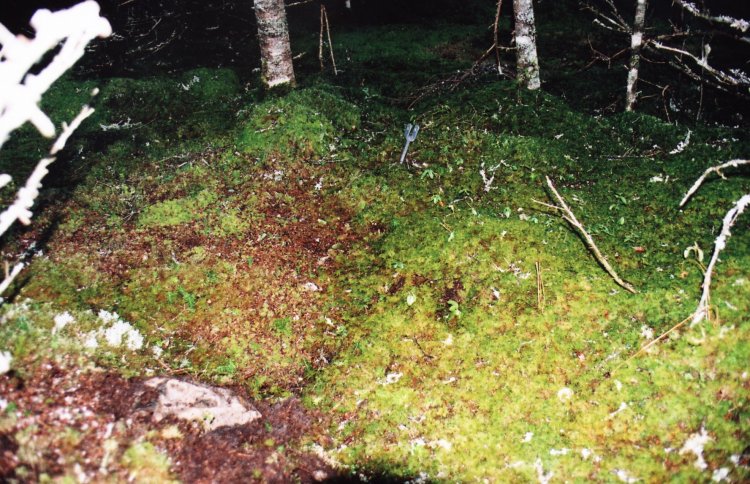
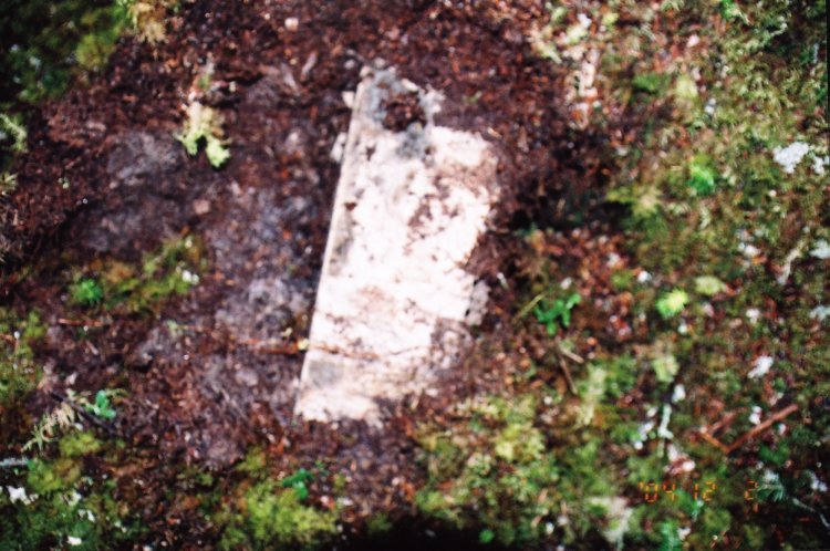
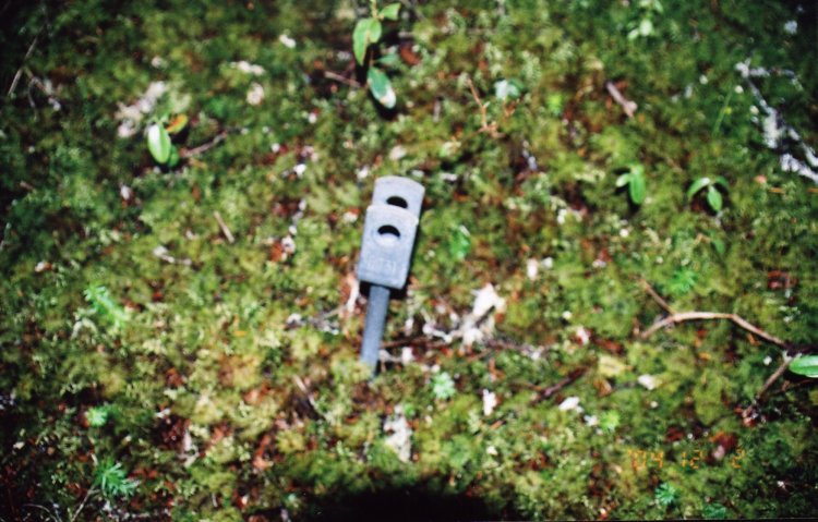
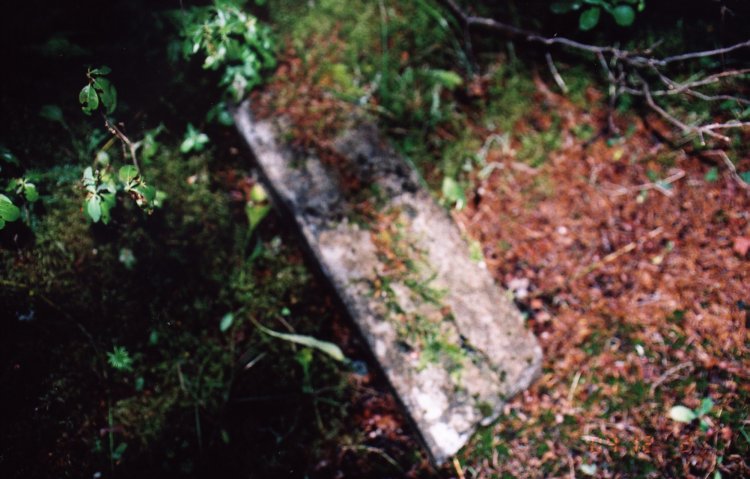
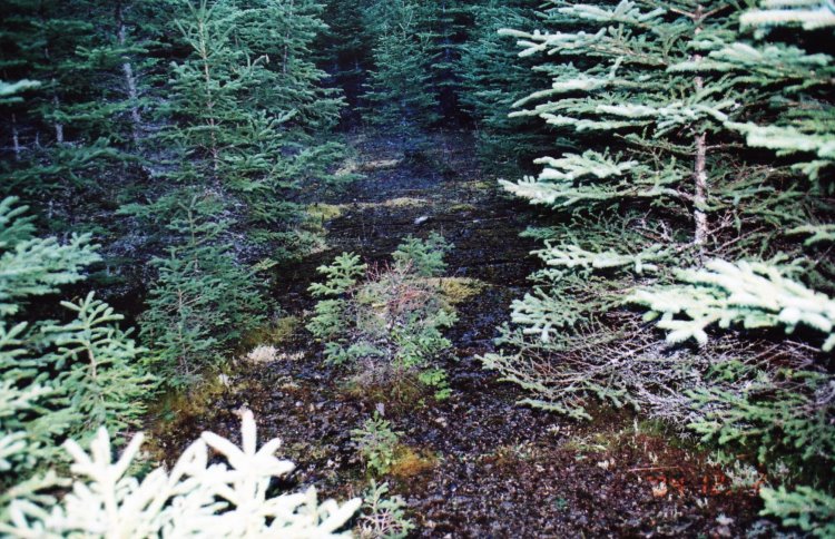
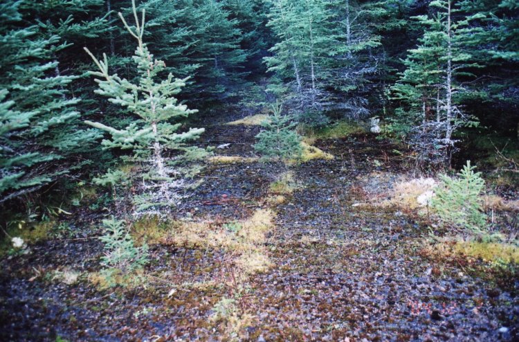
The radar site appears to have been built in a southeast, northwest direction in a tight semi circle on level ground at the top of a hill approximately 300 meters in height. Almost immediately as you reach the level ground at the top of the hill footings and cement pads of the old buildings become apparent to the eye. As I continued around the site and just as the trail took a sharp turn to the left another trail led off to the right and down a step grade. I walked a short distance down this trail but the light was fading so I returned and continued as before. I was told later by the garage owner that this is where the dump was located. It would be interesting to search around here as much is to be learned from what people throw away.
As in all the other sites I have visited it is rather a sad feeling that you are walking on ground that once was the home of men from a time in our past that must have been very lonely and isolated for them. Many of the local inhabitants of these villages and communities have vivid memories of these men and the times, and we, as a nation should not forget what they did in the name and cause of our freedom.
|
This page is located at
http://www.pinetreeline.org/rds/detail/rds22-5.html
Updated: January 13, 2005