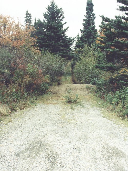
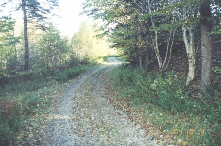
Location: - Drive west on highway #103 until you reach exit #33 which is the Tusket exit. Exit right and follow the road towards an industrial park. There is a sign for this park is on your left, 100 meters off the ramp. This road to the best of my knowledge does nor have a name or a number on it. No fear though as it's the only road and it swings through the industrial park past "The Department of Fisheries" building on the right. Canadian and Nova Scotia flags snapping in the fresh Atlantic breeze. A narrow gravel road on your right just (25 meters) past the Fisheries building leads to the only two remaining buildings of the Tusket site. You will know you are on the correct road as high on the hill you are ascending is a very tall antenna, which has nothing what so ever to do with the former radar site.
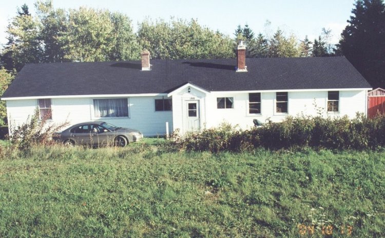
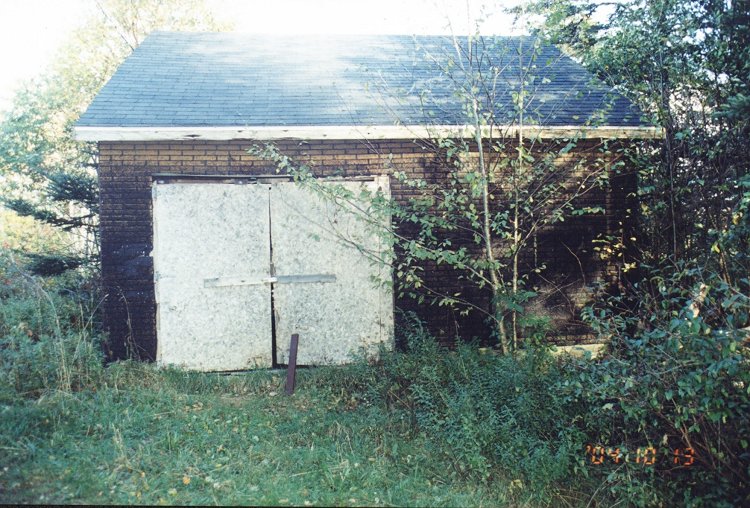
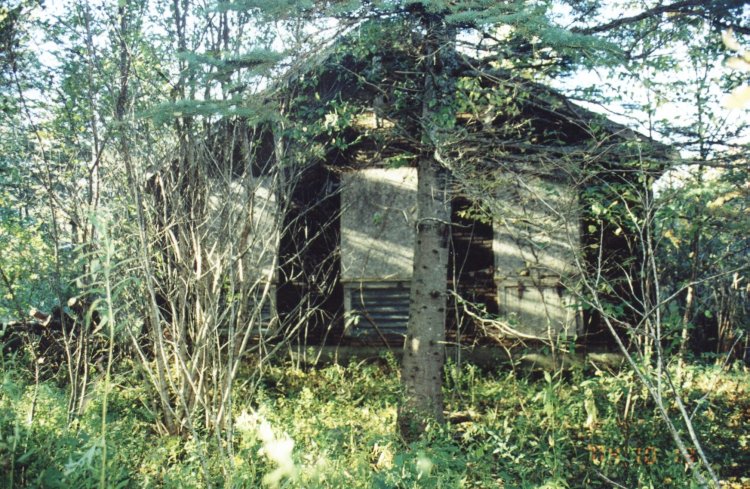
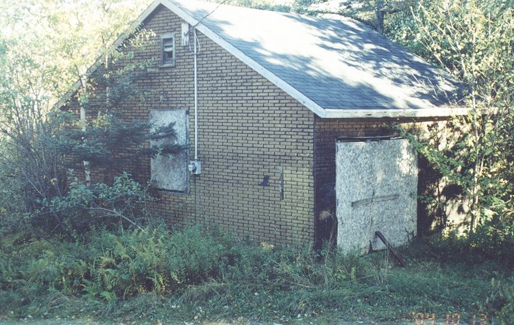
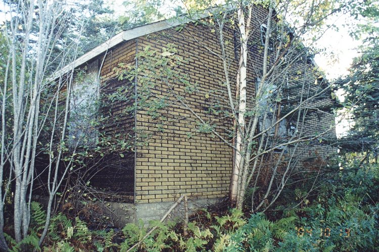
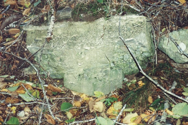
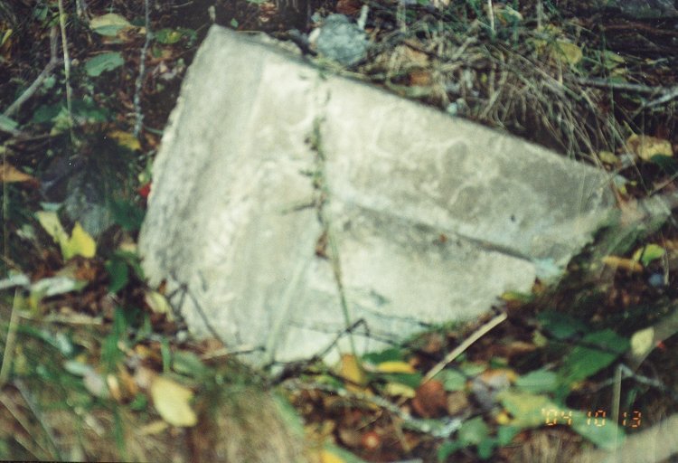
General Detail: - At the base of the antenna is a good place to turn around and park. In the village is a museum that I visited and they have information on this site. I took many pictures of the old building that must have been where the tower was as I found two footings for the guy wires. I walked over to the top of a grassy area and took a picture of the house which looks the same as in the one on the Internet.
About This Page
This page is located at
http://www.pinetreeline.org/rds/detail/rds3-7.html
Updated: October 17, 2004