No. 5 radar unit was located in Guysborough County on the eastern tip of Nova Scotia. (Not to be confused with Cole Harbour just east of Dartmouth) A remote location even today in the 21 century, I can only imagine what it must have been like in the first half of the twentieth.
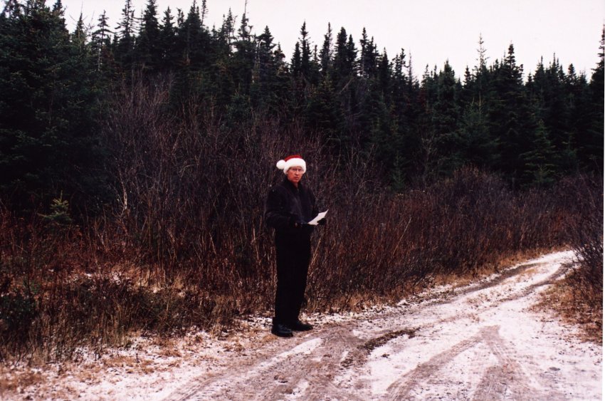
I visited the remains of the radar site on the 4th and 5th of December 2004 and spoke with two people from the area.
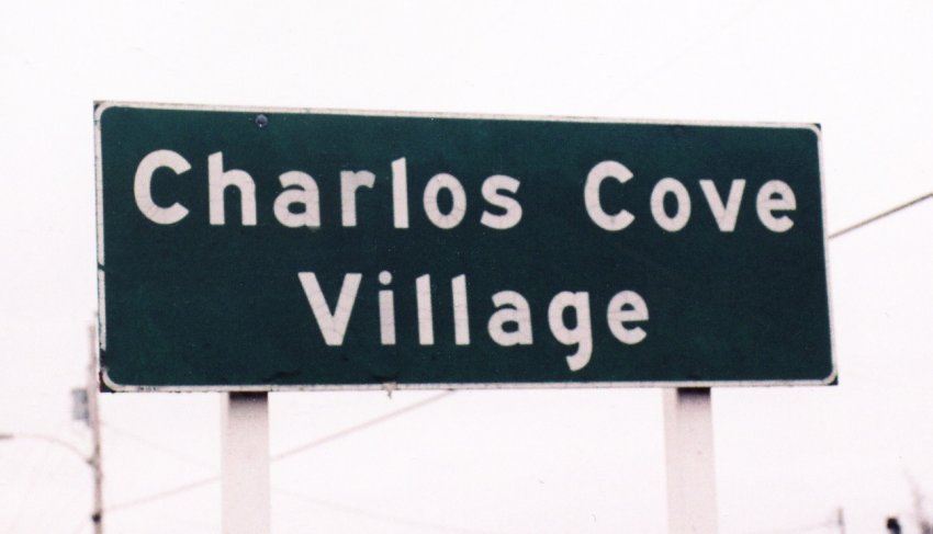
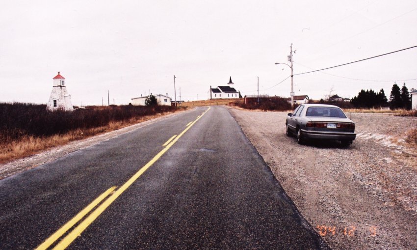
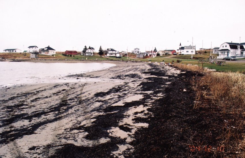
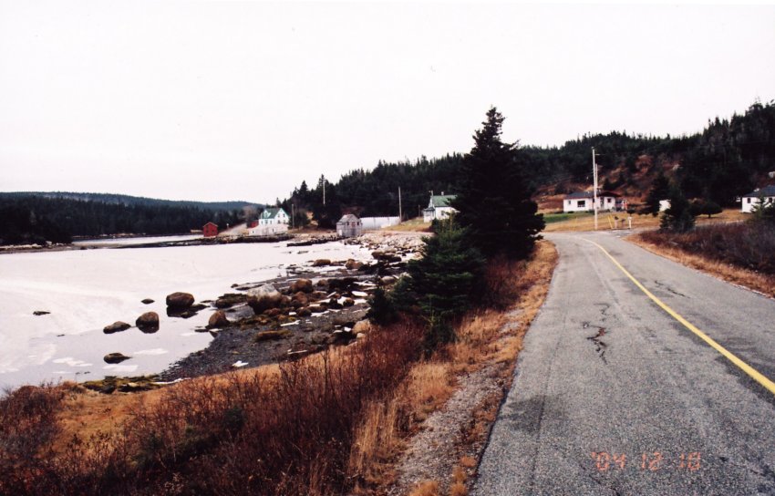
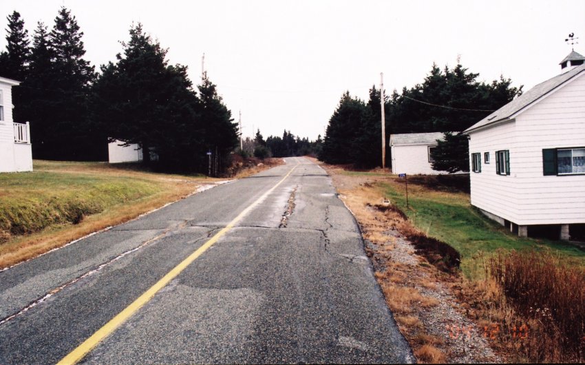
It was early afternoon on the 4th when I arrived in the village, which is a couple of kilometers along a dead end road off highway #316. Most of the houses I saw appeared to be vacant although they were well maintained. Perhaps they are used for summer homes or the occupants were away at jobs. I selected the one with the most vehicles in the driveway and knocked on the door. A young woman greeted me and listened to my request. I have heard of that place she said, it’s over there waving her arm in the direction of the main highway. I returned to #316 highway and drove towards Charlos Cove where I encountered an oil delivery truck making its rounds. It’s back that way someplace the driver said waving his arm towards where I had just been. Just then a lady walked by and we asked her opinion, it’s away up on the barrens she offered and waved her arm in a northerly direction. You need to speak with Stanley Cashin she said waving her arm in an easterly direction. I waved them my thanks and departed. After calling on three houses in Port Felix I finally located Stanley, who although 84 years old, has a vivid recollection of the radar site. He took me to the road leading to the site and as the hour was late we agreed to meet the next day for further discussion.
Assuming you are in the Halifax area and plan a trip to this region it’s quicker and an easier drive if you follow the One Hundred Series Highways, rather than No. Seven Highway which is shorter. Take the 102 superslab from Halifax and exit # 15 at Truro to the 104 east. From Halifax to near the college town of Antigonish you will have a divided highway with a 110-kilometer speed limit, so keep the hammer down. Just east of Antigonish, at South River there is motels, service stations and restaurants, and you should consider using their services as from here to your destination services is limited.
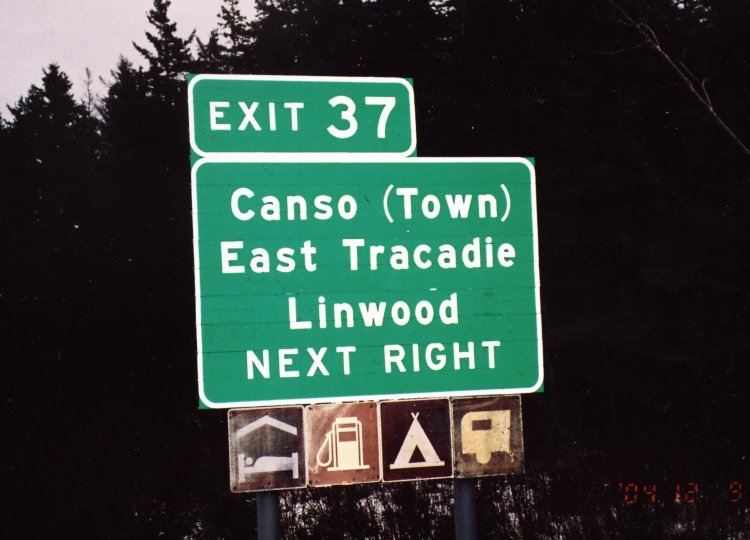
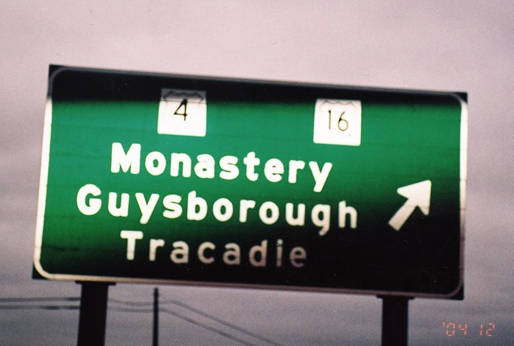
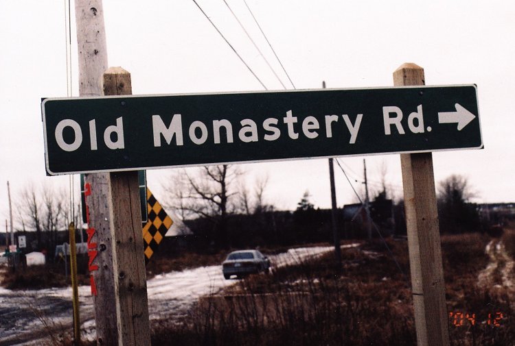
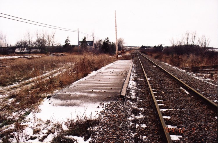
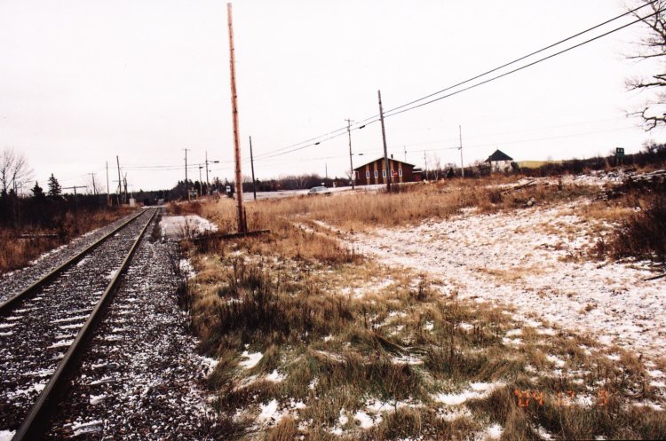
Continuing eastward on Hwy #104 get off at exit #37 where the sign says Canso (Town) etc. At the end of the ramp you will make a left turn onto highway #16 and drive towards Guysborough. Before reaching Guysborough you pass through Monastery and close to where the Railway Station and The Monastery was located. The Hotel still stands to this day but has been renovated to a private dwelling. However the station house is gone, the platform still remains along with RR tracks as a train still operates to Cape Breton. I spoke with highway workers and one of them informed me that a portion of the station was moved to Port Hawksbury across the Straight of Canso in Cape Breton. (The next time I’m in the area I will find the building and get a picture of it as well as the former hotel).
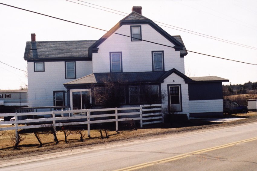
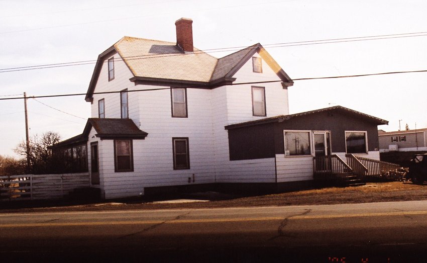
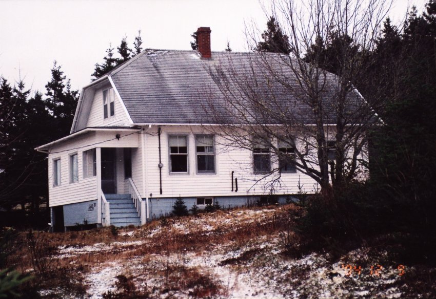
Reaching Guysborough it becomes a little tricky to navigate the secondary back roads to Cole Harbour. However I believe that the use of a good highway map and following these directions you will be successful. On the corner of Broad and Main Streets in Guysborough, sat Grant’s Hotel, AKA The Guysborough Hotel. (Owned and operated by The Jenkins family.) The building has been demolished but the hardwood flooring now graces the home of Joan Worth who works in the only café in town.
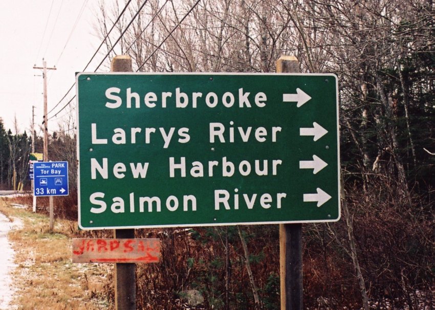
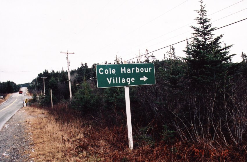
A kilometer or so out of town past the shopping mall towards Canso on highway #16 you see the road sign for Sherbrooke, Larry’s River etc on your right, near the highway garage. This is Highway #316 North and you follow this highway to the stop sign at Larry’s River.
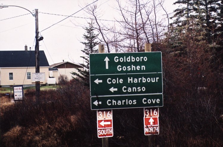
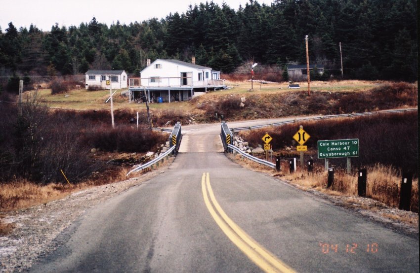
The road climbs in twisting “S” turns, passing hydro generating facilities and lakes of all shapes and sizes until you reach a stop sign and a highway marker for #316 south. At this stop sign note your mileage, turn left across a Bailey Bridge and continue towards Charlos Cove for exactly eleven kilometers.
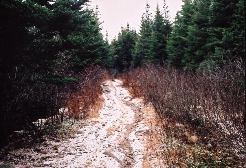
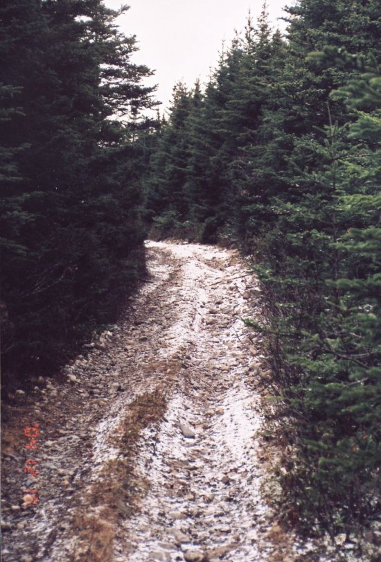
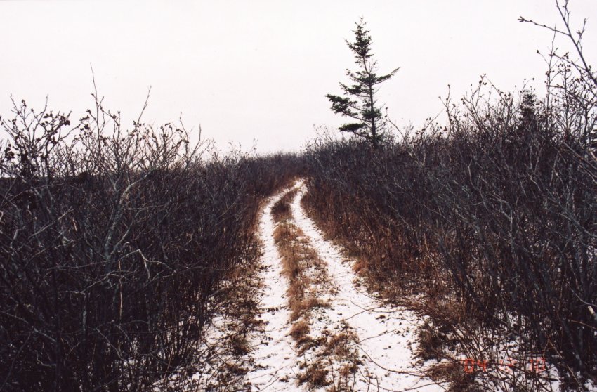
At the eleven kilometer point you should be able to locate a stop sign on the left side of the highway that is there for no apparent reason as the trail onto the road is near to impassable. This is the walking/ATV trail that leads to the aerie site some forty-five minutes hike in poor walking conditions up a steep and often treacherous trail. There’s room to park two or three vehicles off the highway and sturdy-hiking boots are suggested if the summit is to be reached where the radar site may be explored.
Having said all this, you have another option, which is, after you have visited the Port Dufferin site carry on east on highway #7 until you reach highway #211 near Stillwater. Turn right and follow this secondary road to Issacs Harbour and highway #316. Continue on to Larry’s River and the corner of #316 north and #316 south. Then turn right at this point and cross the Bailey Bridge and follow instruction as stated previously in this narrative.
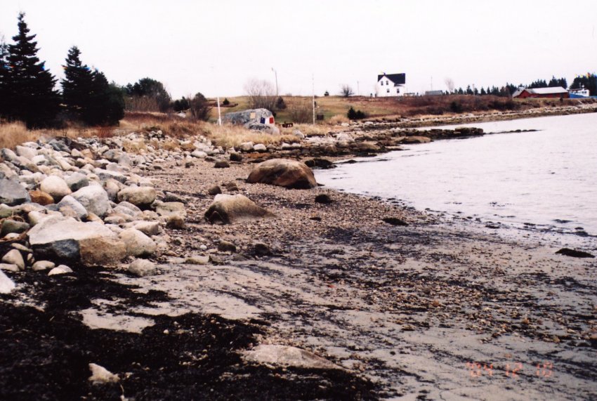
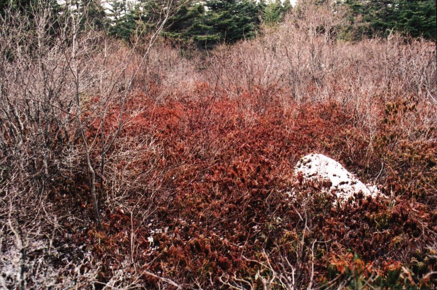
Careful attention should be noted of the weather as when you reach the barrens it could deteriorate rapidly. Case in point is the story of one Nancy Richards (as told by Mr. Duncan Bellefontaine) from Queensport who attempted to cross the barrens from her job in Cole Harbour and died in a late spring snowstorm that swept across the landscape. Her body frozen in the fetal position was found behind one of the many large boulders that was deposited in this area during the last ice age.
I returned on the 5th of December to 15 degree Celsius weather, with a gentle breeze from the south, however when I reached the barrens some 200 hundred meters above sea level a skiff of snow covered the ground and there was a nip of frost in the air.
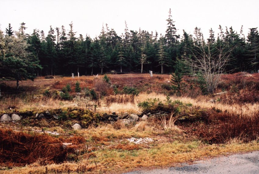
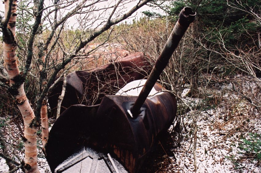
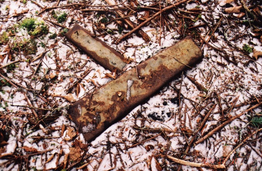
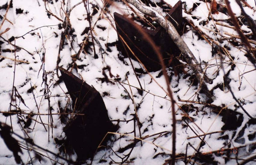
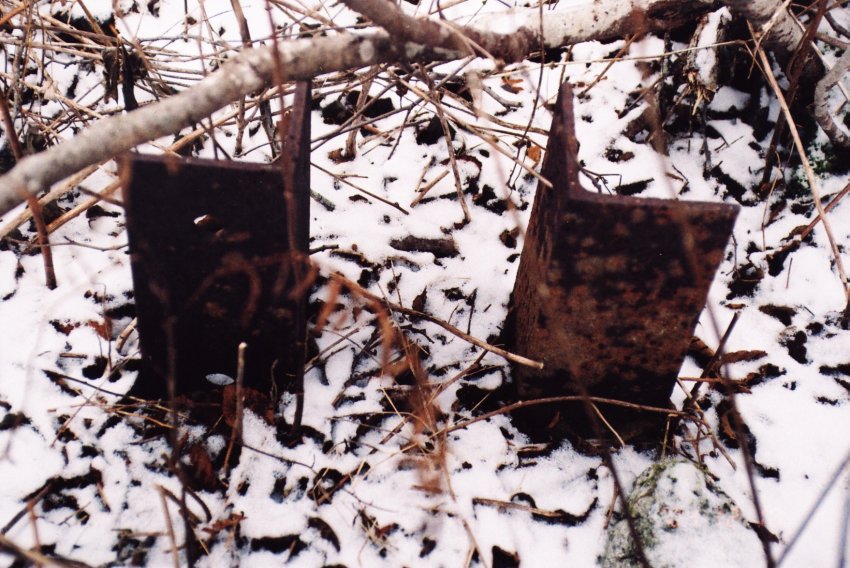
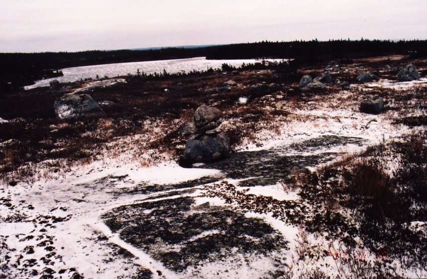
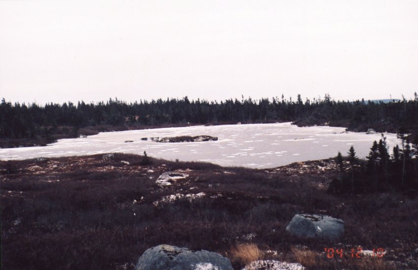
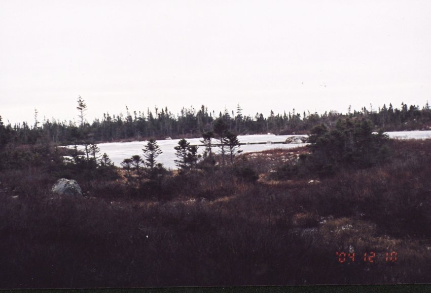
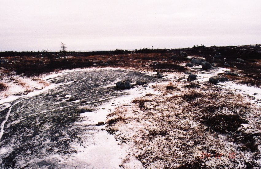
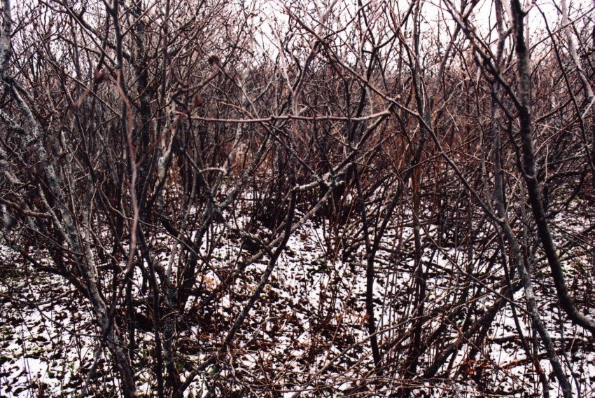
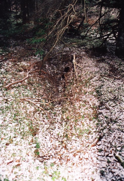
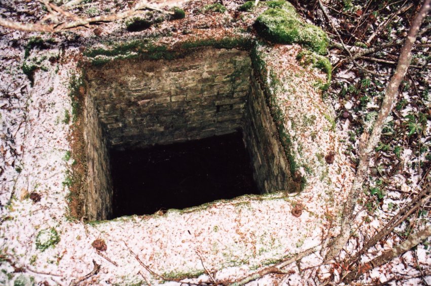
I was armed with copies of the photos provided by a former member of the radar site and on reaching the summit consulted these for clues. The area is completely overgrown with alders and stunted undergrowth that makes it nearly impossible to recognize anything from the photos. I located at the left of the trail a large rusted out oil storage tank similar to those I have seen at other sites. Seems that this was standard Government Issue, and just beyond this discovery I saw where a large building had been located. Later Mr. Cashin told me that this is where the highway garage was located. I found no other evidence of buildings or any clues as to the former site as I continued along the path to where a lake overflowed the road.
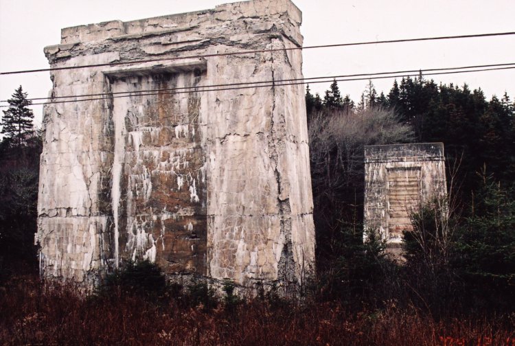
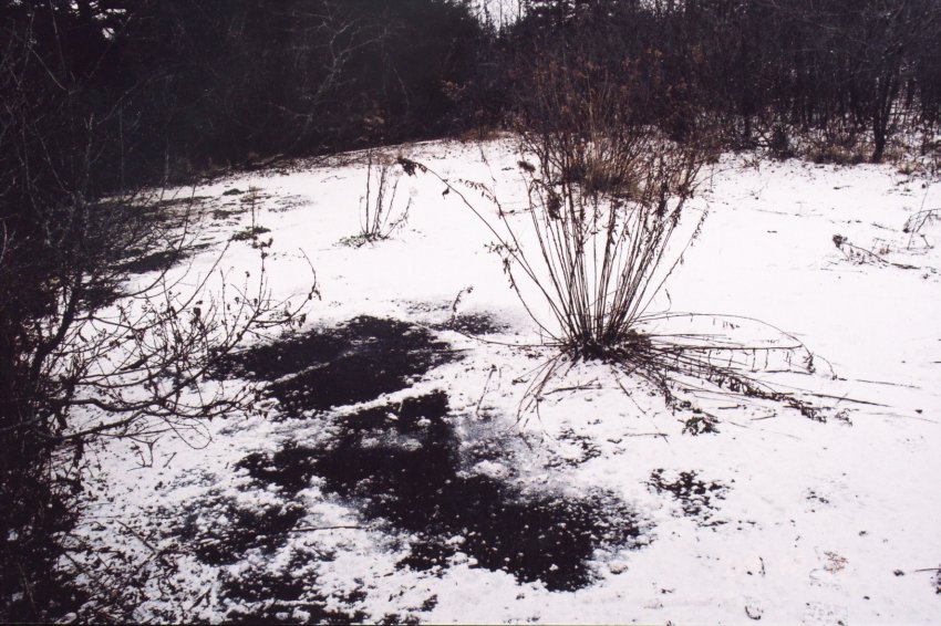
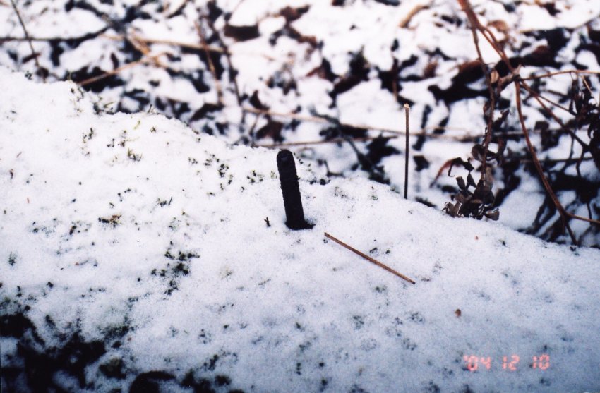
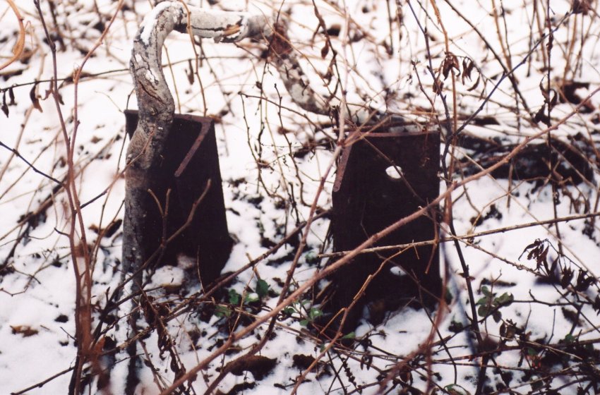
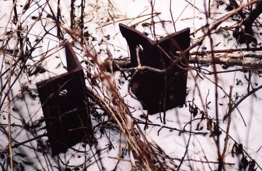
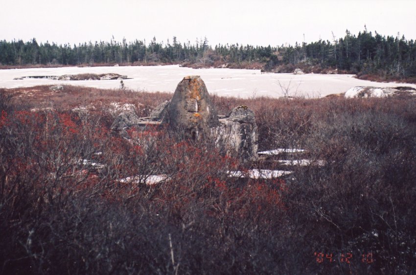
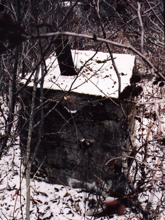
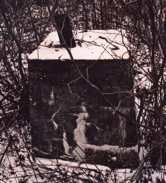
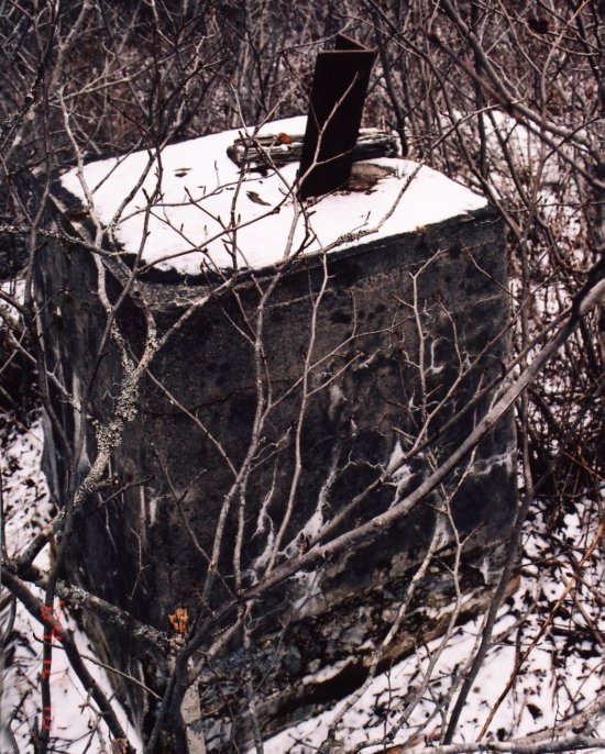
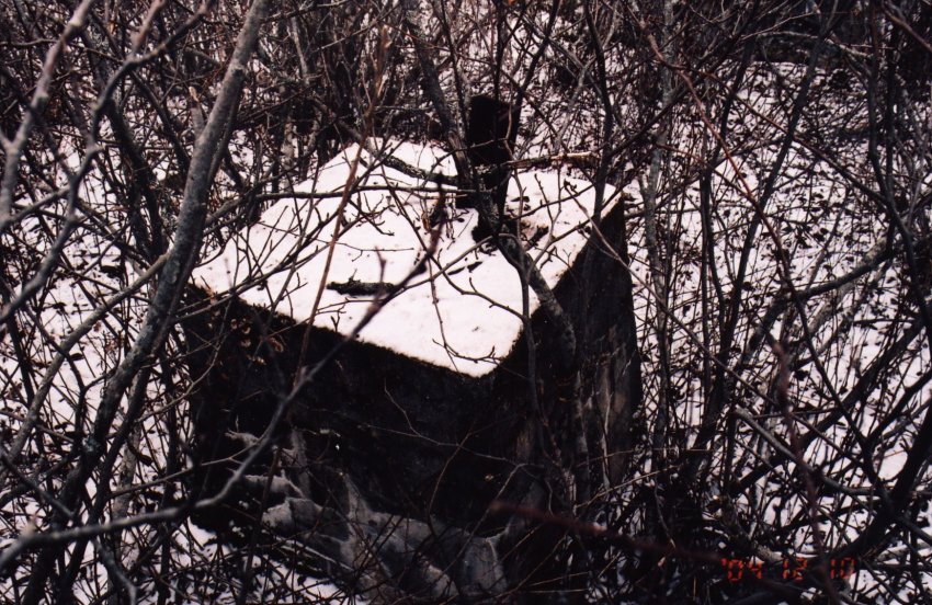
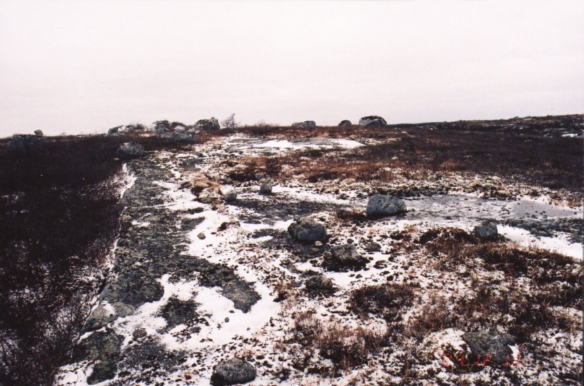
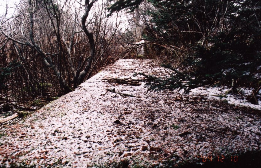
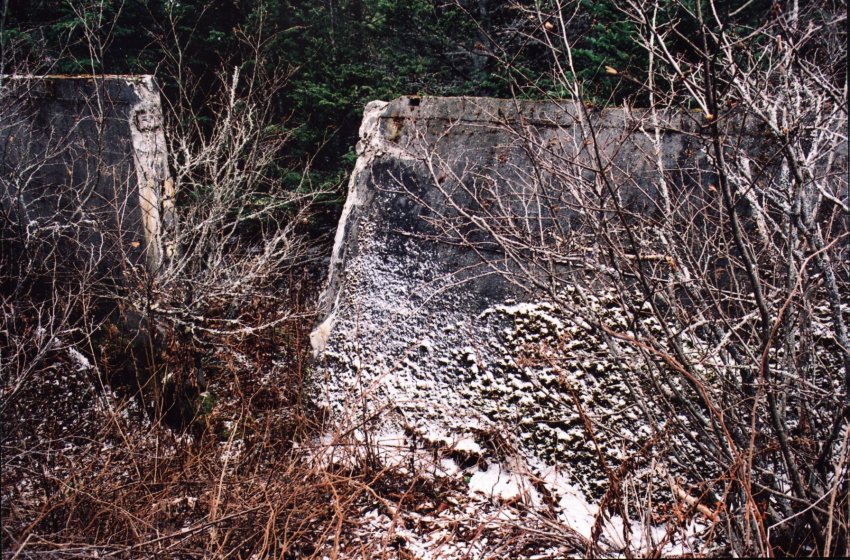
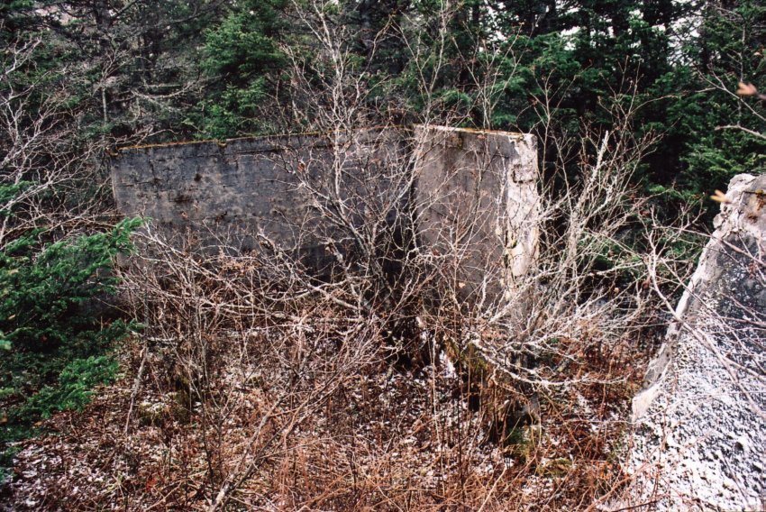
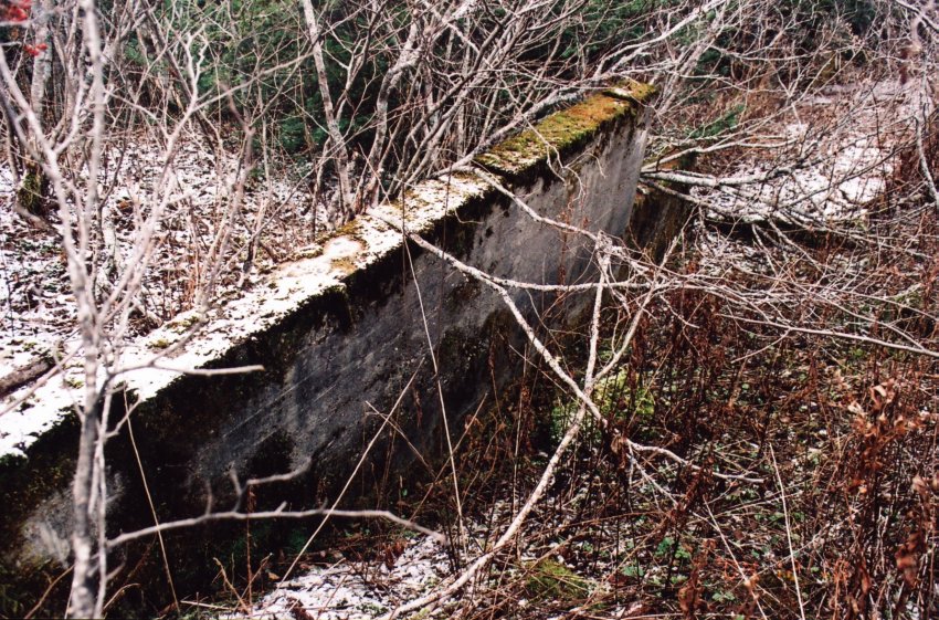
I returned to where the oil drum rested and followed another path in a northwesterly direction down into a swampy and forbidden area. This is where I found the cement footings that supported the tower and other facilities. I questioned as to why a radar tower would have been built in perhaps the lowest point of the surrounding landscape in nothing more than a swamp between two lakes. Just a short walk away the Canadian Shield breaks through the surface and the land rises in a gradual slope where a clear view may be enjoyed of the surrounding topography.
As I explored the barren landscape and the remaining footings I heard an ATV pass heading towards the area where the lake was overflowing the trail. I spent probably one hour in the area taking pictures and inspecting what I had found of the radar site. As I began my return to the original path the ATV made its way back down from whence it came.
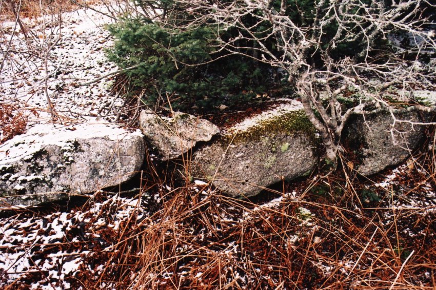
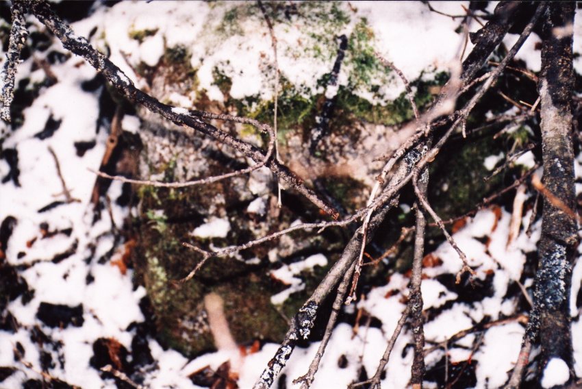
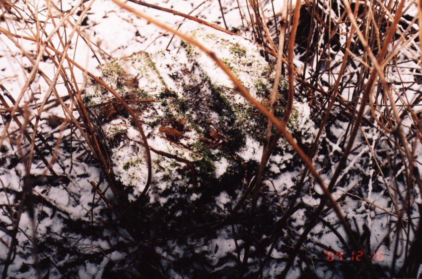
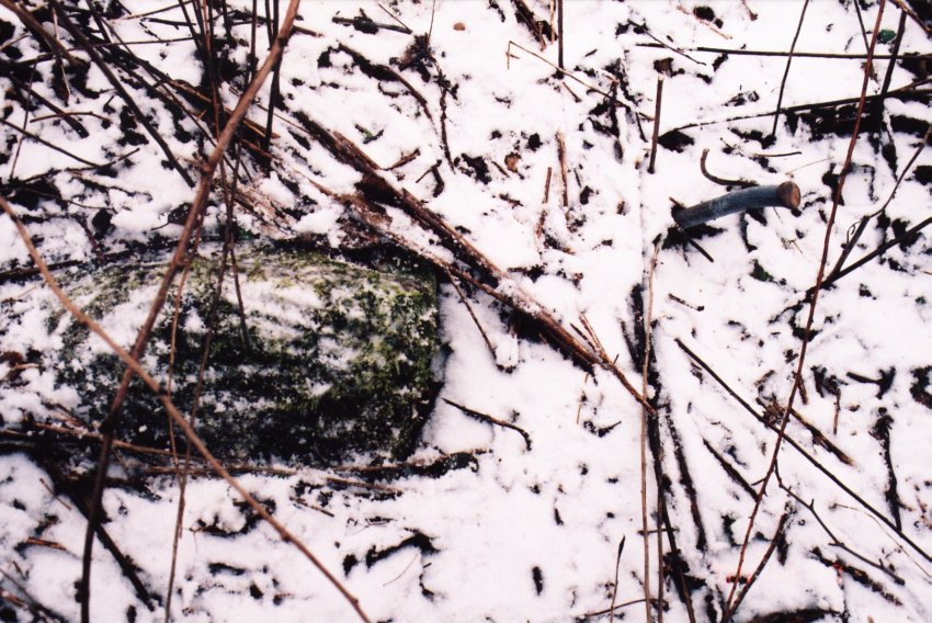
I consulted the photos once again and noticed in several of them what must have been the road where I was standing. White rocks were visible in the photos and I carefully inspection the sides of the trail and found where they were still visible buried beneath the under growth. Certainly a lasting tribute to the airmen, who hauled them from the beach at Charlos Cove or Larry’s River painted and placed them roadside over sixty years ago.
Preparing to leave I looked back across the barrens to watched a hawk soaring on a thermal rising from the heat escaping the gray rocks. The silence was broken only by the wind rustling the underbrush and whispering voices trapped within these very same rocks of airmen who defend our freedom in this isolated place far from their loved ones.
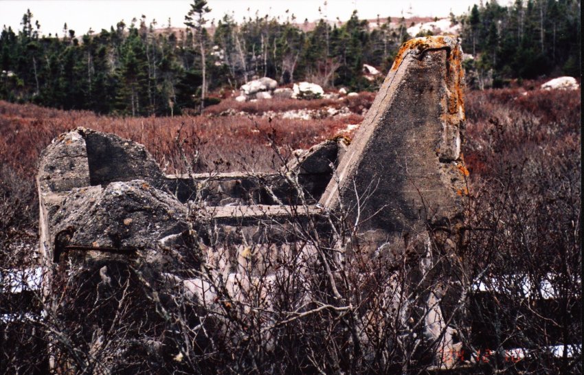
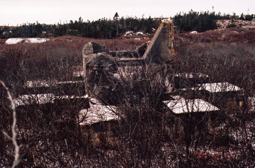
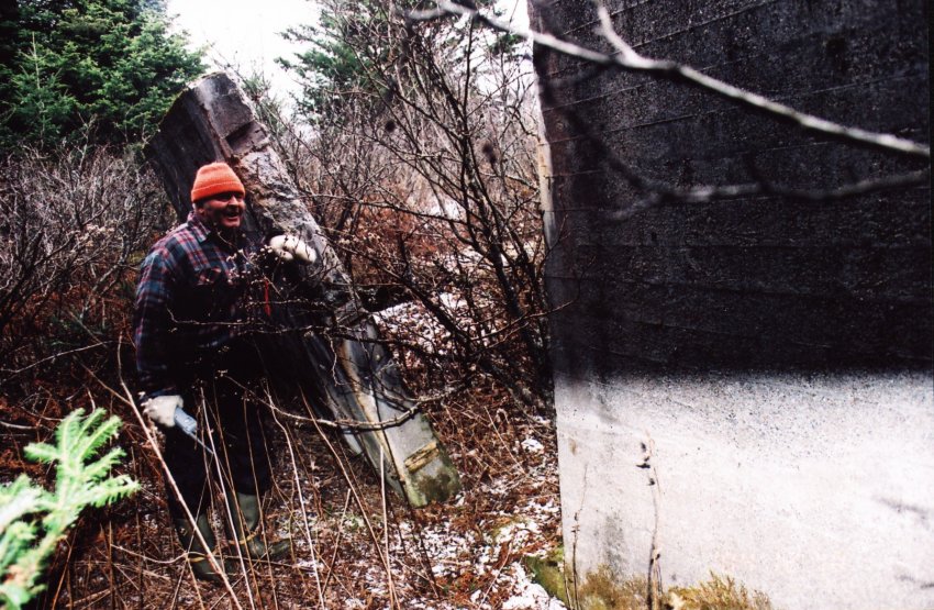
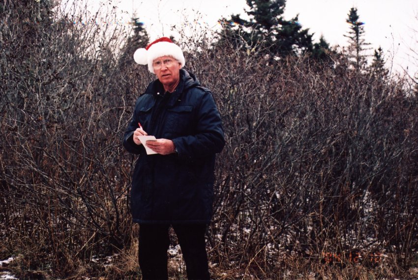
At trails end in the parking lot was Mr. Duncan Bellefontaine, the wheeler driver was busily loading his machine onto a pickup truck. We exchanged pleasantries and I told him what I was doing and why I had been to the barrens. Oh, I thought you might have been a poacher he exclaimed. I run a trap line in the area and I thought someone was there to take my catch when I saw your footsteps in the fresh snow. We discussed where I had been and what I had found. There’s more to the site than that he offered and suggested he could show me just where everything was if I cared to walk back up.
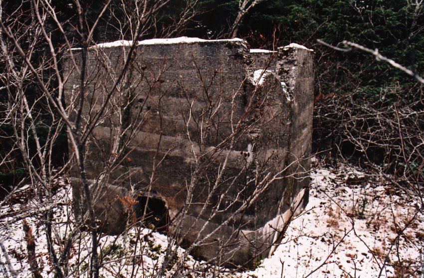
We were able to locate many of the footings of buildings as depicted in the original photographs. I found and photographed what appeared to be a septic system (seems I’m getting very proficient at that) Another building which we identified from the original photos to be the buildings depicted in Book 1 Item # 33. In spite of the thick undergrowth and swampy conditions of the terrain I was able to get many shots with his guidance. He told me of coming here as a young boy to speak with the airmen and to go to the picture show on the weekends.
I thanked him for his assistance and we went on our separate ways, he to his home in Port Felix and I to visit with Mr. Cashin.
Mr. Cashin’s memory regarding the radar site was excellent and he told of going there for dances when he was home on leave from the army. He referred to the building where the dances were held as the dance hall. Those were the happy times when the airforce was here he said. The next statement about floored me when he asked, “when are they coming back?” I don’t think they are I replied.
I immediately recalled a story I once read about the American army when they left the islands in the Pacific after WW11 where the natives built replicas of wooden airplanes to entice them to return. I saw no replicas of radar towers around Cole Harbour. Those were the happy times!
This page is located at
http://www.pinetreeline.org/rds/detail/rds5-12.html
Updated: April 18, 2005