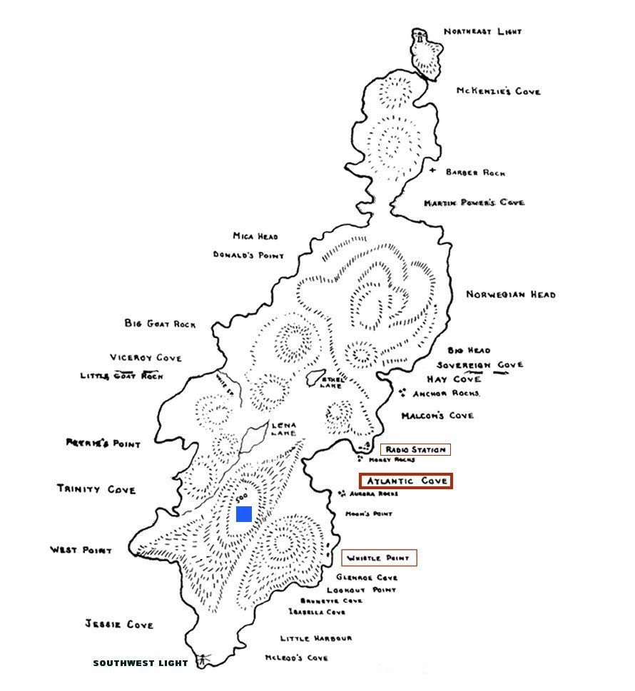
Comments by Ren L'Ecuyer: - There is no intent to duplicate detail that already exists on other web sites. It appears that there have been a small number of users on St. Paul Island over the years. As an example, there was a lighthouse at the north end as well as the south end of the island. We understand that there were only two landing areas on the St. Paul Island - one of which was located in "Atlantic Cove". The RCAF would have made use of this landing during their stay between 1943-1945.
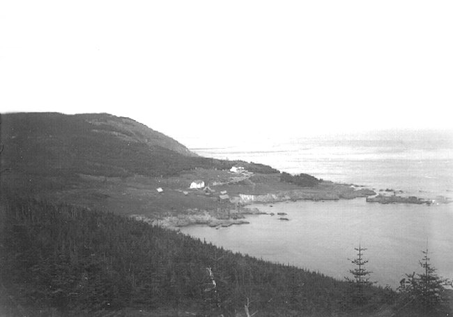
It is suggested that you refer to the attached map/diagram of St. Paul Island to get a better understanding as to the location of buildings on the Island.
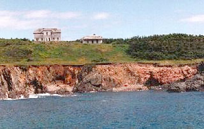
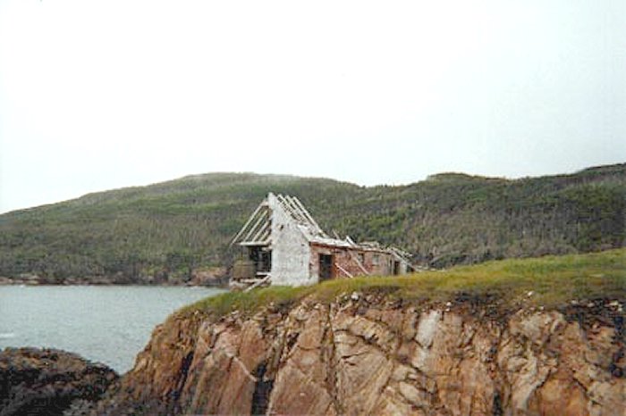
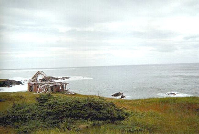
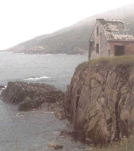
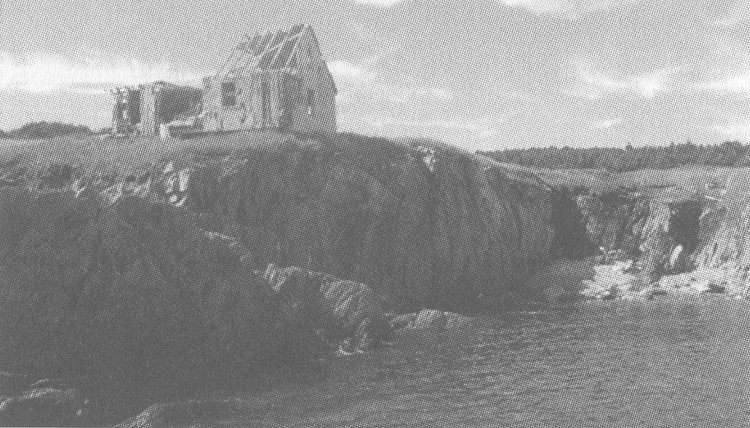
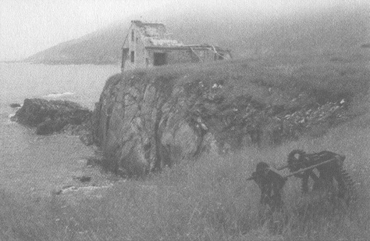
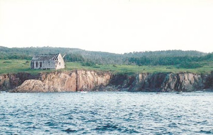
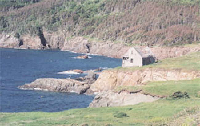
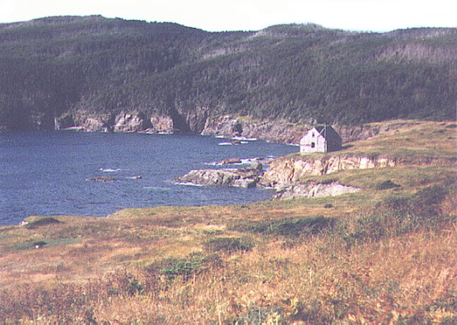
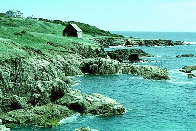
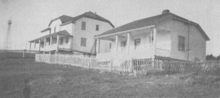
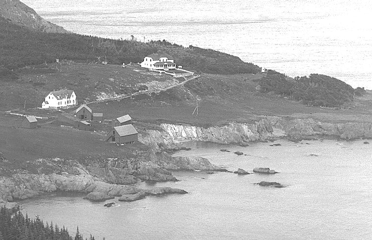
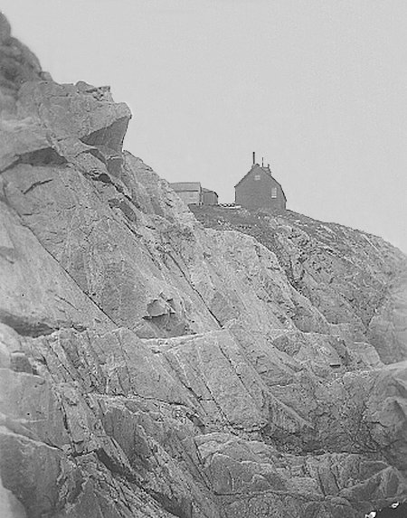
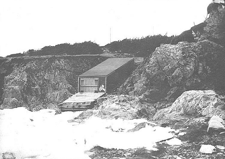
Comments by Duane Traver: - The RCAF would have made use of the landing located at "Atlantic Cove". There were a number of buildings which existed in this area during the 1940s. There was, as an example, a fair sized duplex building which housed the radio stations. Entries in the official Daily Diary Reports (5th and 7th of October 1944) provided by the National Archives of Canada relate on how the RCAF Commanding Officer was invited to room in the heated half of this building. There is also a storage building down near the cut where the landing was done. Some references are made to this building being the boat house, but it wasn't. More likely, it was an oil shack.
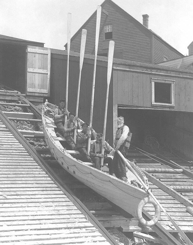
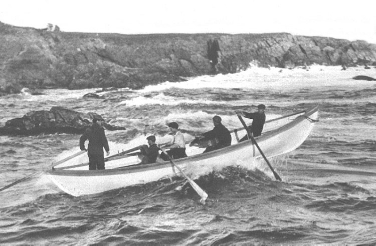
The boathouse was either right at the center of the cut in the rocks or maybe to the other side. There was a wooden ramp at one time which ran up the cliff that the rescue boats were winched up and put in the boat house. There was a large I-beam type boom attached to the oil shack. It had an electric winch attached. This boom was swung out over the landing raft, the supplies were hauled up. There was one occasion in the arly 1950s when the operators got careless, and swung the boom back over the land before the hook got back to the top. The hook lodged in the rocks, and the winch operator didn't think fast enough to shut it off. Standing under the boom, watching the operation was Billy Budge, then a young boy. The wooden part which was swung out over the cliff broke off, and knocked Billy cold. His mother, sure he was dead, promptly passed out. Just one of Billy's many adventure's.
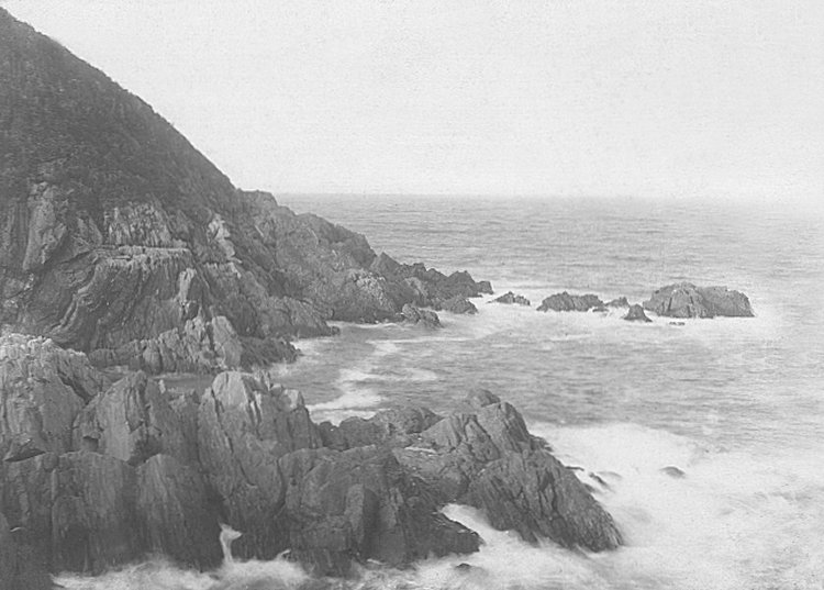
Anyway, that's how all the equipment for the radar station would have been brought ashore. Whistle Point is maybe 1/4 mile or so South of Atlantic Cove. The road {if it could be called such} ran from Atlantic, past Whistle Point, and on to the SW lighthouse. This was how they got supplies. Land them at Atlantic Cove, then haul them using a farm tractor down to the lighthouse. This included coal for the winter, kerosene for the lighthouse, and all other needed supplies. Whistle Point was so named because there was a large steam boiler whistle used to warn ships in fog conditions. The boiler's remains can still be seen on the edge of the cliff there. It stopped being used after a few years because it felt ships might be confused and think they were passing another ship.
The Radar station was about due West or so of Whistle Point, up over the ridge in the center of the island. It was located on the highest point of the island called Crogan Mountain, or some variant of that name. It would be a most grueling trudge up to the radar station location, even with the cleared trails they had then.
Extract from "Memoirs of a Lightkeeper's Son" by Billy Budge: - 12 September 1955 - A sort distance up the trail, we came upon a small building with a missing door. The building's interior walls had been destroyed. It was sitting near a concrete dam, built to form a reservoir supplied by water from a tiny stream. At one time the building had contained a pump to suppy water to a military radar site constructed during World War II. It operated from the island's highest elevation at the summit of Mt. Grogan, 485 feet. The site was abandoned when the war ended.
Additional Comments by Ren L'Ecuyer: - Duane Traver advises that the radar installation was located on the highest point on Crogan Mountain. Comparison with other World War II radar installations verify that the radar antenna and the Operations building were usually located on the highest point. It was standard procedure however, to have the administration buildings at another location. With this in mind, I can not help but wonder where the "domestic site" which consisted of barracks, Mess Hall, administration etc was located?
This page is located at
http://www.pinetreeline.org/rds/detail/rds76-3.html
Updated: June 10, 2004