Comments by Bruce Musson - 21 October 2004
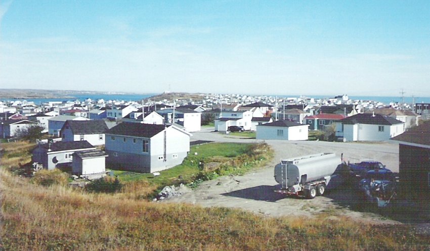
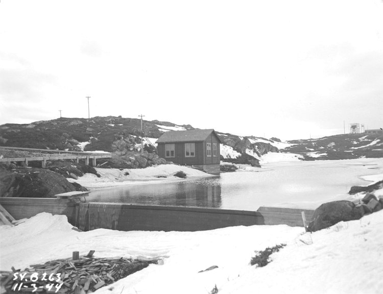
Some of the buildings which formed the radar station at Mouse Island are still standing, but they were moved elsewhere. My father has mentioned at least two of the buildings which were moved across land by rolling them on logs. One RCAF building/house was taken over by Phil Osmond and another building was moved for Roy and Francis Osmond. It is believed that the rest of the RCAF buildings were torn down and the wood was used for apartments and other needs.
There was a road that went through Mouse Island. It stopped at my grandfathers land and had two connecting walkways - one into the American base, and the other into my grandfathers home. This road was extended after the war and went over (north) then down the west side of the lone structure. There were very few houses between a small group by my grandfather's and then maybe a 1/2 mile space before more houses. It seems a single lane road may have connected the RCAF base to the one road going thru the area.
|
Updated: October 21, 2004