Fogo Island, NF


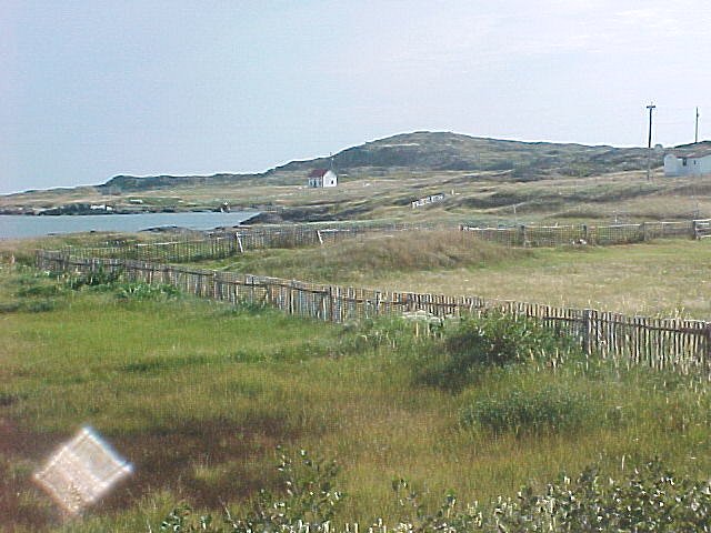
There were two communities in this area during the war - Sandy Cove and Tilting.

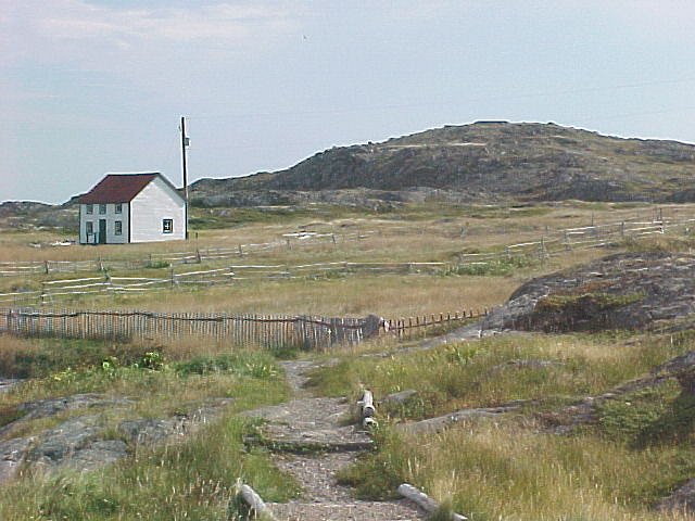
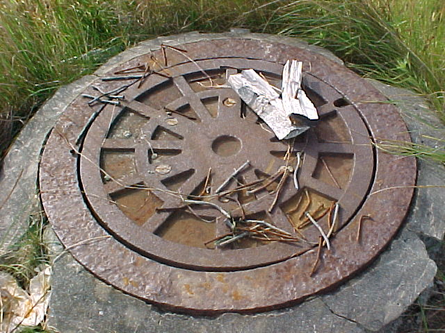
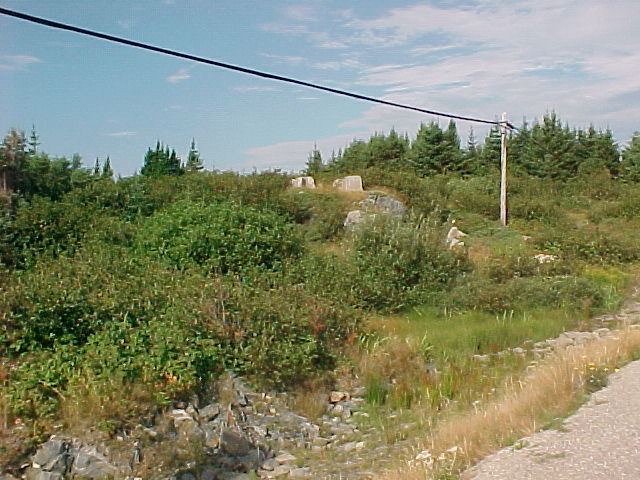
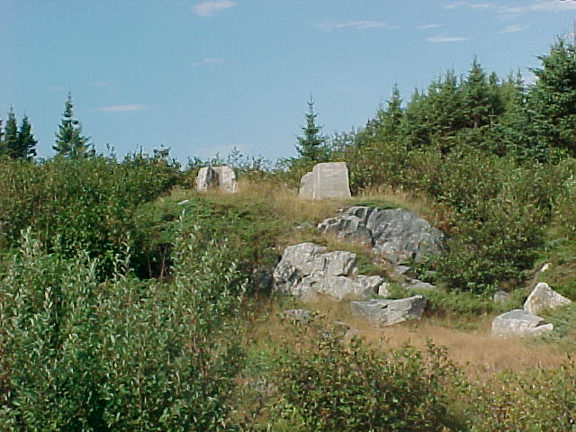
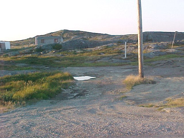
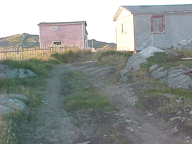
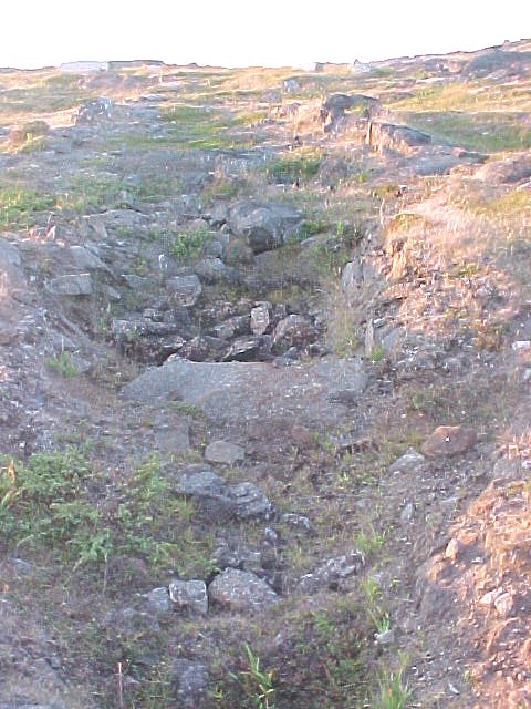
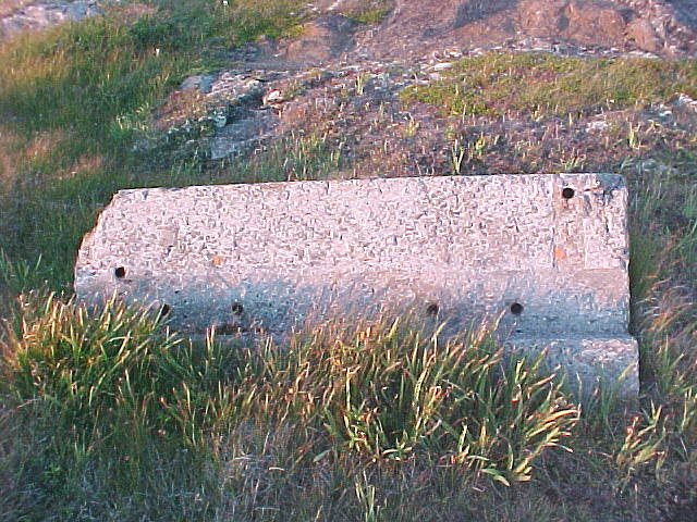
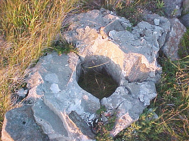
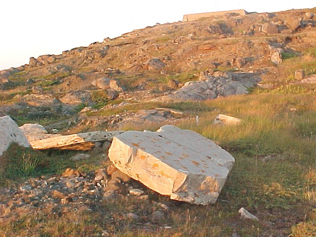
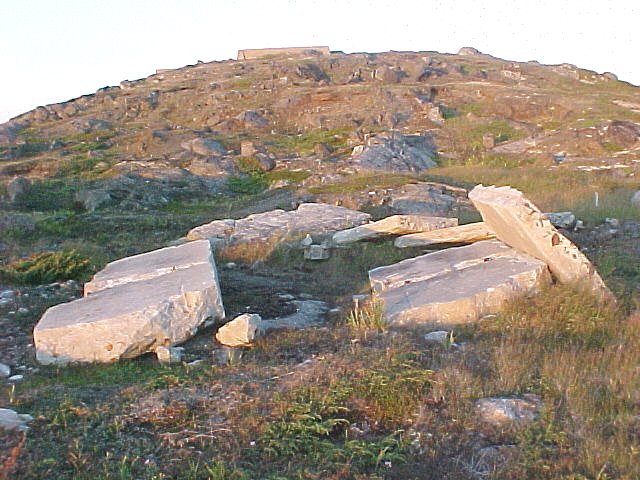
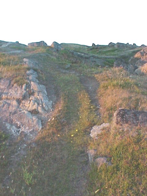
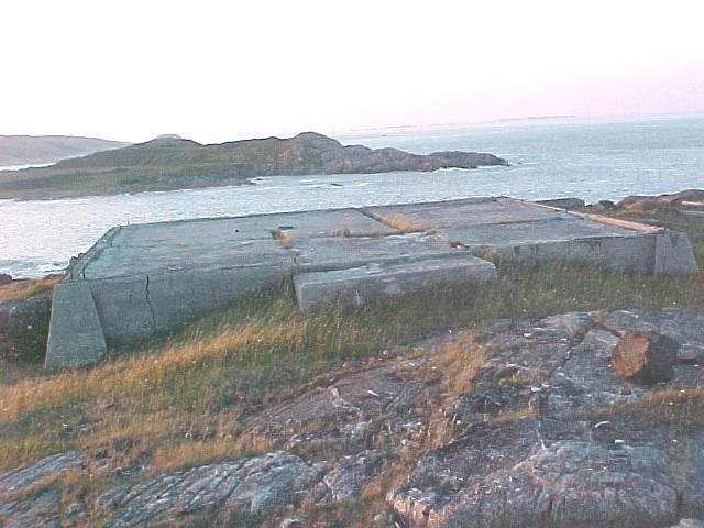
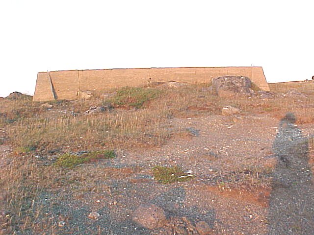
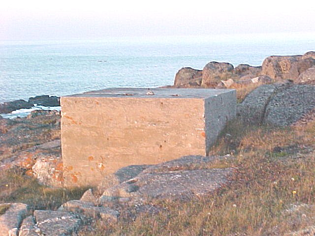
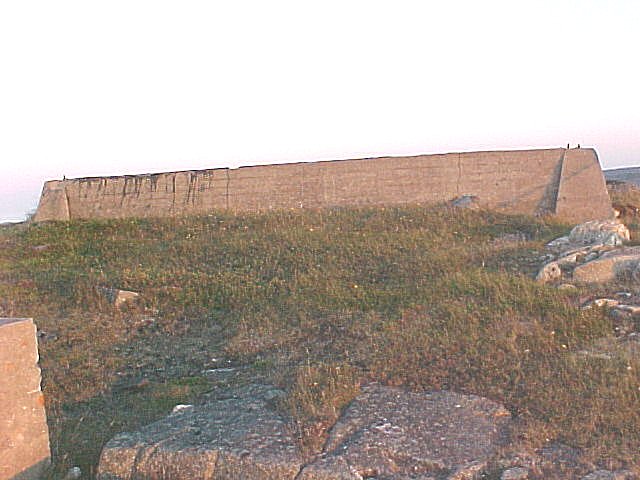
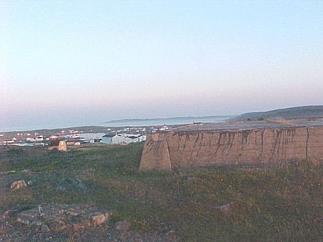
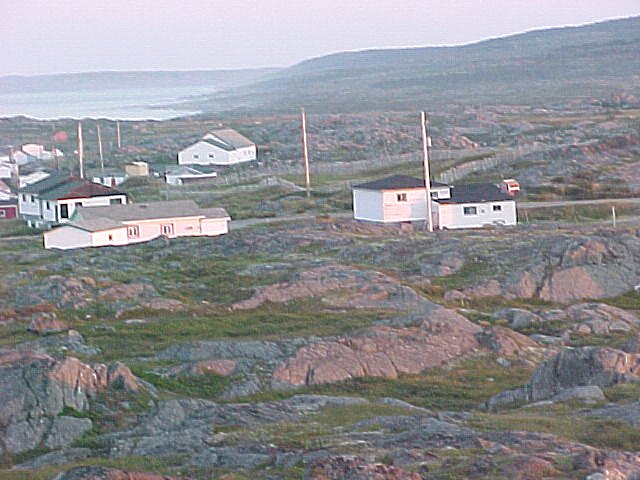
The domestic site for the radar station was located in Sandy Cove and it was in this location that we would have found assorted military buildings such as barracks, administration, storage, dining and even the hospital. The radar equipment was located on the summit of what was then referred to as "Radar Hill". For some unknown reason, the local population has referred to this area as "Bunker Hill" for a number of years. An examination of the photos for Sandy Cove reveals that there are very few dwellings still intact at this location. There are some newer homes in the area but they are closer to the main road.

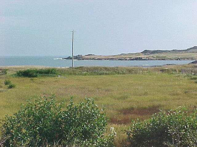
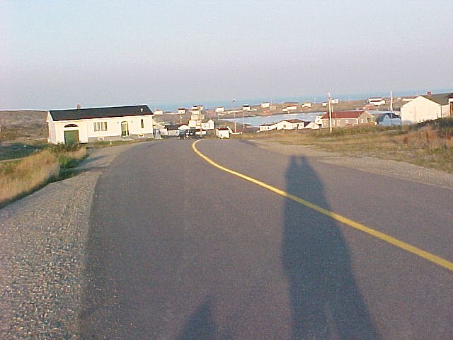
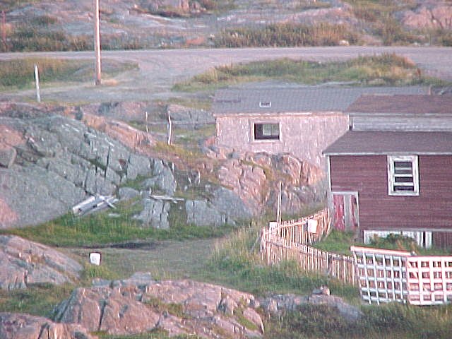
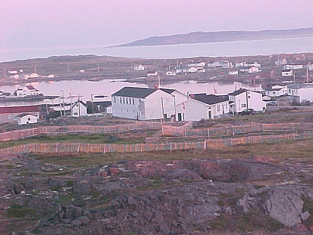
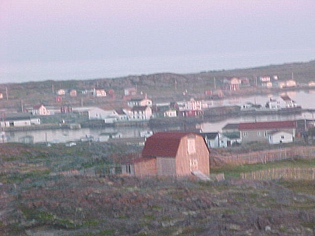
Tilting was a small village located less than half a mile from Sandy Cove and it is the only active community at the present time. As previously mentioned, there are some newer homes located in the area of Sandy Cove at the present time. There were no automobiles in Tilting during the war but there are plenty of cars now and the community is very much a part of the outside world. There is a ferry that connects Man O'War Cove, Fogo Island and Farewell with six crossings a day. All necessary supplies including fuel and gas are shipped in. Gas is presently selling at 94.5 cents a litre. If you check the maps of Fogo Island you will see that all the communities are now connected by paved roads.


Click on the description text to view the detail.
  1. View of the community of Sandy Cove with Bunker Hill in the background - September 2003.
    The white building and a stable are the only original buildings still remaining from the war days. This house has recently been restored and is part of a heritage restoration project. It is not occupied.
    Courtesy Marion Foley.

  2. Different view of the community of Sandy Cove - September 2003.
    This shows the site of the barracks, hospital etc. approaching from Sandy Cove community via the ocean side walking trail. The white building at the far right in the photo is owned by the Knights of Columbus and is part of a site where they hold beach festivals in the summer.
    Courtesy Marion Foley.

  3. This manhole is one of the few remains from the domestic site at Sandy Cove - September 2003.
    Courtesy Marion Foley.

  4. Closer view of the manhole at Sandy Cove - September 2003.
    Courtesy Marion Foley.

  5. Another view of the manhole cover at Sandy Cove - September 2003.
    Courtesy Marion Foley.

  6. Piece of concrete covered with grass at Sandy Cove - September 2003.
    This was probably a part of a foundation for a building.
    Courtesy Marion Foley.

  7. Location of cold storage and general storage building is now overgrown with trees and shrubs - September 2003.
    Courtesy Marion Foley.

  8. Location of the water tower and the pumphouse at Sandy Cove - September 2003.
    Courtesy Marion Foley.

  9. Concrete blocks that held the pump house and the water tower or holding tank - September 2003.
    Courtesy Marion Foley.

  10. Area where barracks were located - September 2003.
    Courtesy Marion Foley.

  11. General view of the where the domestic site was located in Sandy Cove as seen from the edge of the ocean - September 2003.
    Courtesy Marion Foley.

  12. General view of the Sandy Cove beach area - September 2003.
    Courtesy Marion Foley.

  13. View of Tilting from the Bunker Hill turn off - September 2003.
    Courtesy Marion Foley.

  14. The road leading to Bunker Hill - September 2003.
    Courtesy Marion Foley.

  15. Remains of the original road leading to Bunker Hill - September 2003.
    Courtesy Marion Foley.

  16. The road at the bottom of the hill - September 2003.
    Courtesy Marion Foley.

  17. The base of the hill with a view of the remains at the radar station and concrete blocks - September 2003.
    Courtesy Marion Foley.

  18. A crater on the road - September 2003.
    Courtesy Marion Foley.

  19. Concrete blocks at the base - September 2003.
    Courtesy Marion Foley.

  20. Remains of a concrete foundation - September 2003.
    Courtesy Marion Foley.

  21. More concrete blocks - September 2003.
    Courtesy Marion Foley.

  22. Remains of a foundation - September 2003.
    A block and hoist was located here. It was used to lower and raise the antenna during de-icing or repairs.
    Courtesy Marion Foley.

  23. Approach to the radar station - September 2003.
    Courtesy Marion Foley.

  24. Concrete base/foundation where radar station was located - September 2003.
    Courtesy Marion Foley.

  25. Concrete base/foundation where radar station was located - September 2003.
    Courtesy Marion Foley.

  26. Concrete base/foundation where radar station was located - September 2003.
    Courtesy Marion Foley.

  27. Concrete base/foundation where radar station was located - September 2003.
    Courtesy Marion Foley.

  28. View towards Tilting as seen from Bunker Hill - September 2003.
    Note the concrete foundation in the right foreground.
    Courtesy Marion Foley.

  29. Buildings in Tilting - September 2003.
    Courtesy Marion Foley.

  30. Assorted buildings in Tilting - September 2003.
    Courtesy Marion Foley.

  31. Assorted buildings in Tilting - September 2003.
    Courtesy Marion Foley.

  32. Assorted buildings in Tilting - September 2003.
    Courtesy Marion Foley.

  33. Assorted buildings in Tilting - September 2003.
    Courtesy Marion Foley.


About This Page

Updated: September 18, 2003