Click on the description text to view the detail.
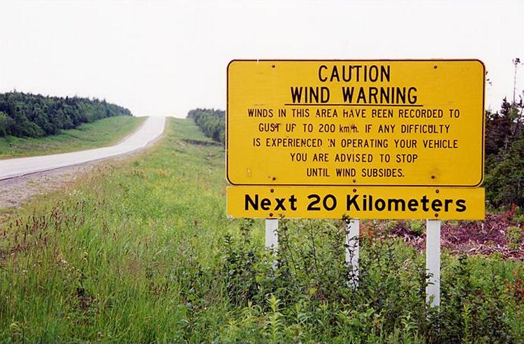
- Wind Warning road sign - July 2000.
Courtesy Curtis Baggs.
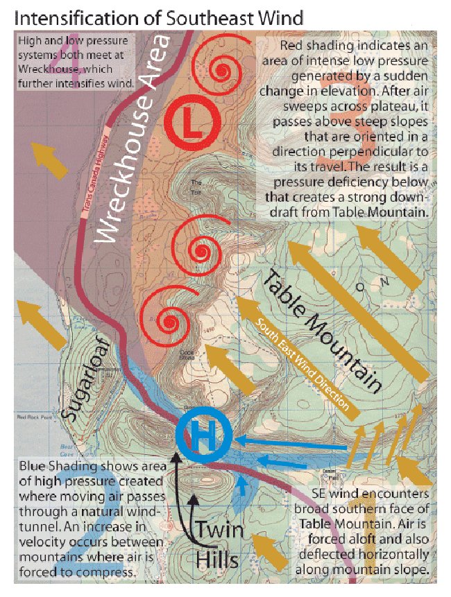
- Southeast winds at Table Mountain - July 2000.
Courtesy Curtis Baggs.
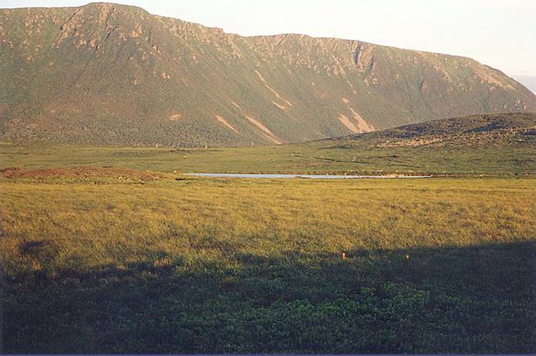
- View from the Trans Canada Highway looking south towards the broad flat slopes of Table Mountain - July 2000.
Courtesy Curtis Baggs.
- The trail to ascend Table Mountain is barely visible in the distance - July 2000.
Courtesy Curtis Baggs.
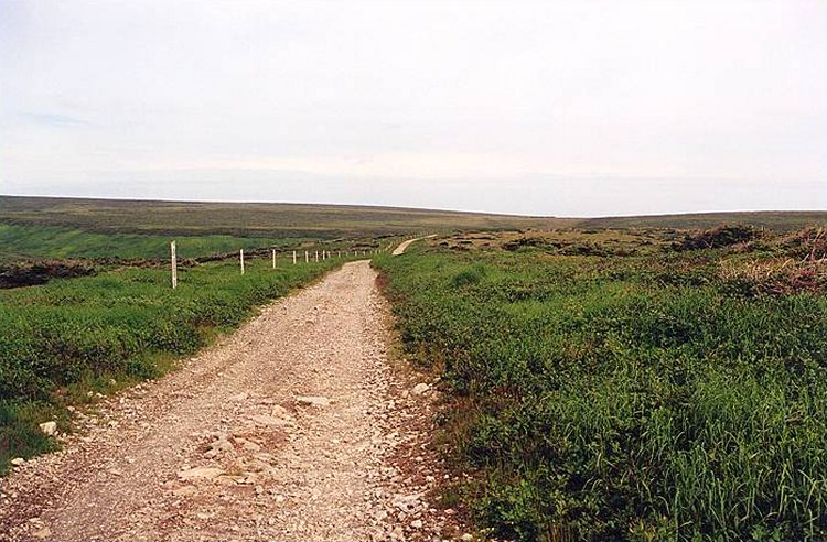
- This trail leads the way to the top of Table Mountain - July 2000.
Courtesy Curtis Baggs.
- On the trail to Table Mountain, looking back towards my starting point - July 2000.
It took me about an hour and a half to hike from my car to this point on the trail.
Courtesy Curtis Baggs.
- We reached a fairly level section of road and saw the broad even top of the aptly named Table Mountain - July 2000.
Courtesy Curtis Baggs.
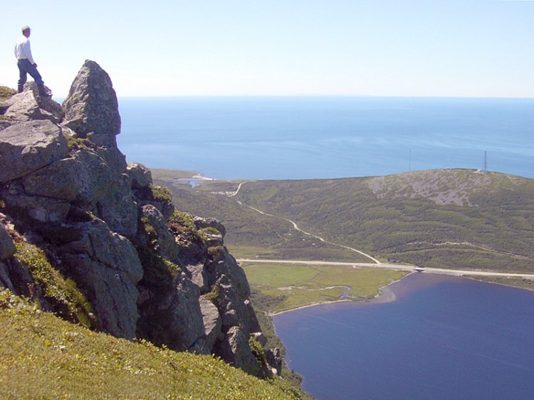
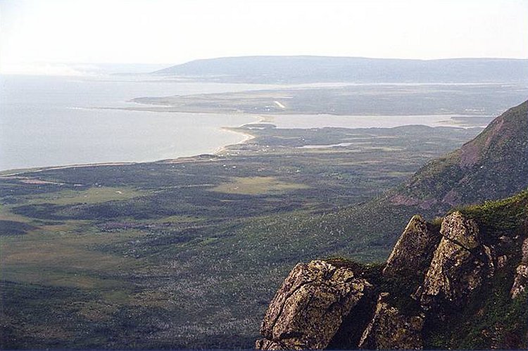
- This picture offers a magnificent panorama as seen from the top of Table Mountain - July 2000.
Directly below, in plain sight is the Trans Canada Highway, Big Pond's south end, Red Rocks Road as it follows Bear Cove Brook through a valley and beyond that, open waters of Cabot Strait/Gulf of St. Lawrence. That mountain to our right with a wavy pattern in its forested slopes is Sugarloaf.
Courtesy Curtis Baggs.
- A sharper view of the local area from atop Table Mountain - July 2000.
Courtesy Curtis Baggs.
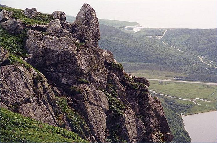
- A zoom allows a somewhat closer image of the rock formation - July 2000.
Courtesy Curtis Baggs.
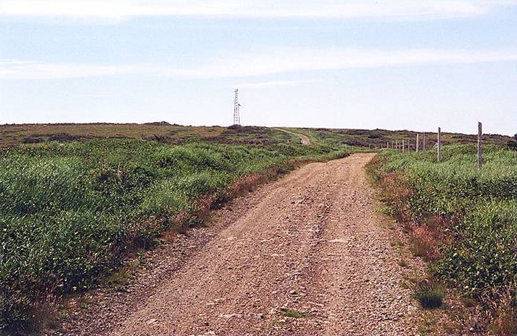
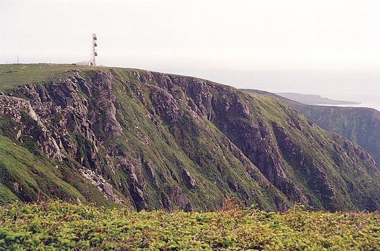
- The communications tower is one of two that exist on Table Mountain - July 2000.
Courtesy Curtis Baggs.
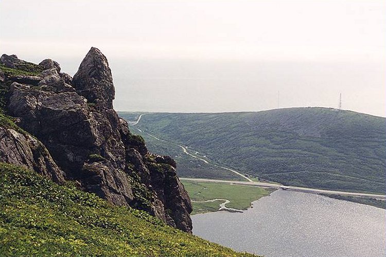
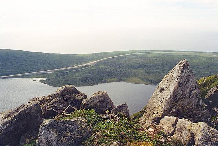
- This view from the tooth/claw rock offered an excellent vantage point on Big Pond, the Trans Canada Highway and the ocean beyond - July 2000.
Courtesy Curtis Baggs.
- A general view across the Codroy Valley to the north - July 2000.
Courtesy Curtis Baggs.
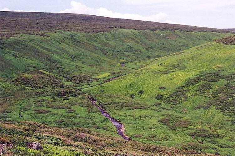
- Three brooks (below) all run into the north end of Big Pond - July 2000.
Courtesy Curtis Baggs.
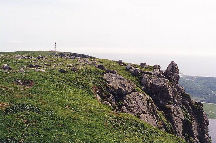
- One of the communications towers on Table Mountain - July 2000.
Note the small section of Cape Ray Point in the distance.
Courtesy Curtis Baggs.
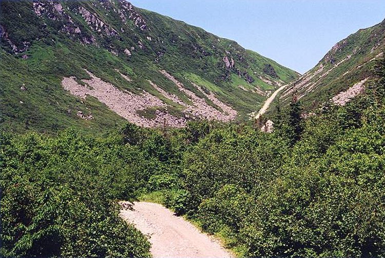
- View of the trail about 20 minutes into my walk of decent towards the Trans Canada Highway - July 2000.
Courtesy Curtis Baggs.
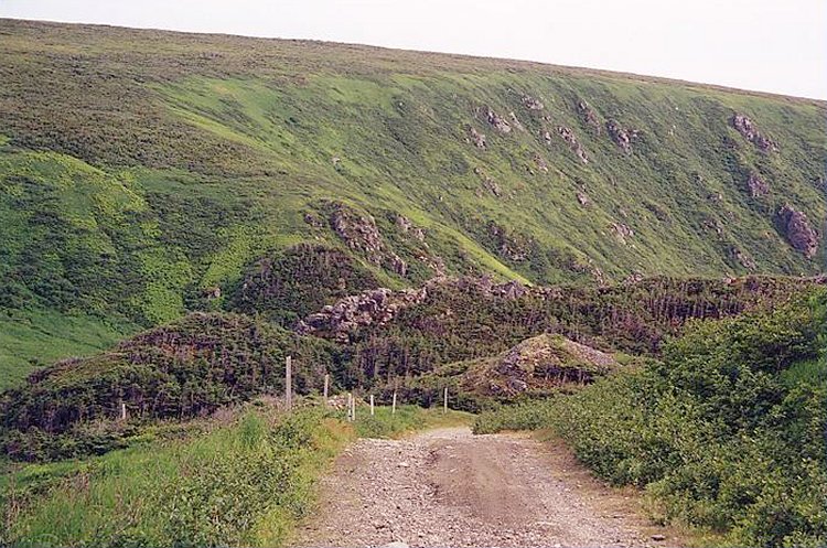
- Another view while on the trail descending from Table Mountain - July 2000.
Courtesy Curtis Baggs.
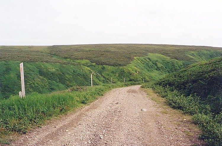
- The match stick sized posts that cross this valley are in actual fact, unwired TELEPHONE POLES - July 2000.
While there are also several small posts which follow the road up here, the telephone poles take a longer route.
Courtesy Curtis Baggs.
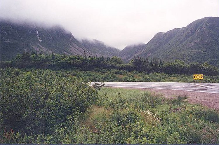
- View on the trail just before it makes its turn and you continue down a steep slope - July 2000.
You can also catch a glimpse of the posts that I mentioned.
Courtesy Curtis Baggs.
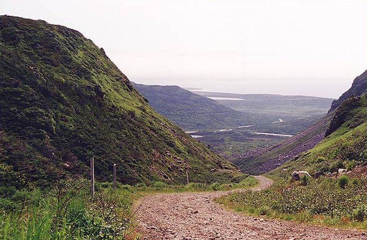
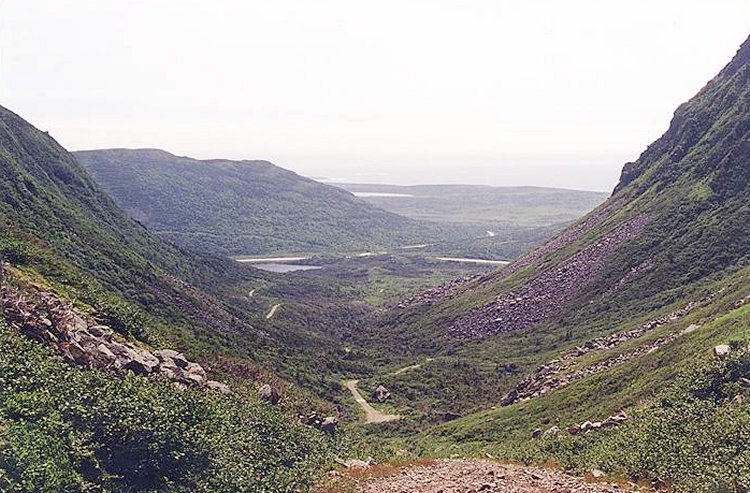
- This view allows you to see exactly how steep the trail is towards the end of the trek - July 2000.
Courtesy Curtis Baggs.
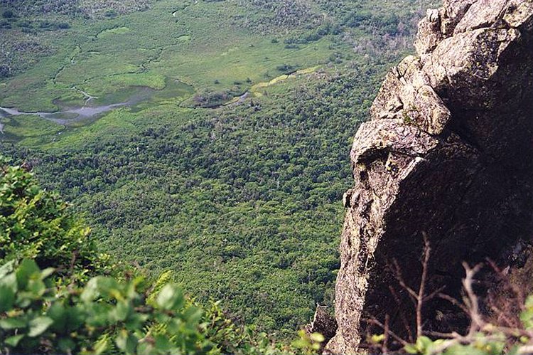
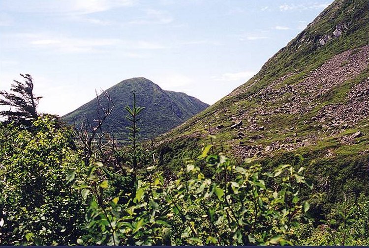
- The farther down you go the larger and more lush the vegetation becomes - July 2000.
The slope of Table Mountain becomes rather imposing as you near the bottom of the valley and the largest Twin Hill is also visible.
Courtesy Curtis Baggs.
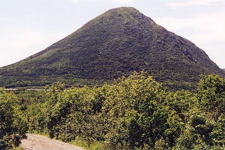
- This view of the Twin Hill indicates we are getting near the end of the hike - July 2000.
Courtesy Curtis Baggs.
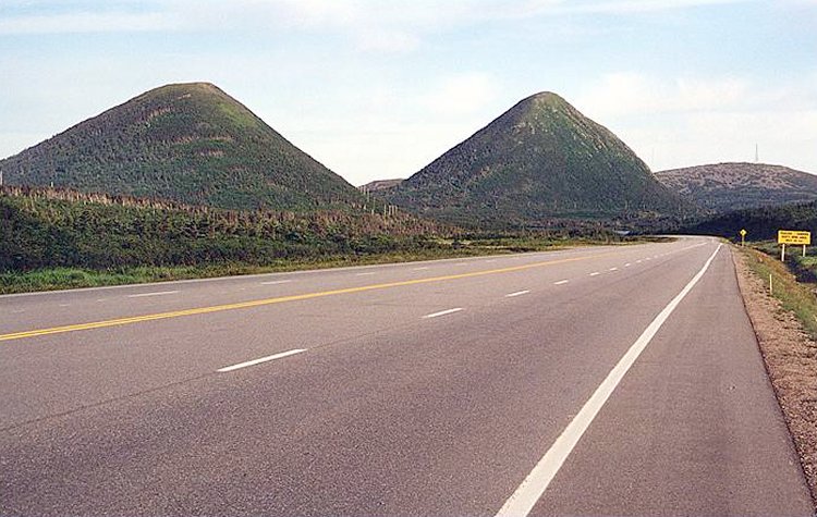
- The reason for the name of Twin Hills, should be obvious from this perspective - July 2000.
Courtesy Curtis Baggs.
|