Holberg, BC
Travel Information
|
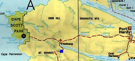
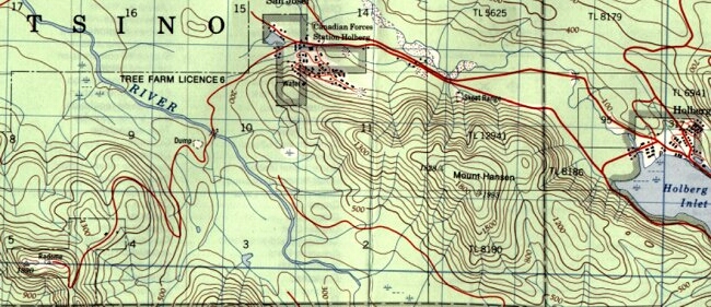
(1998) Station Holberg was located at the head of Holberg Inlet on the northwest corner of Vancouver Island. The road to Holberg is clearly marked on highway #19 and coincides with signs indicating Cape Scott Provincial Park approximately 5 km south of Port Hardy. When proceeding on the Holberg road, always keep to the left and stay on the main road. The road is 53 km long and it takes about an hour and a half for the drive. It is an all weather road and its condition depends on the weather. You can expect dust during the summer and washouts during the rainy season. Keep your headlights on, keep to your side of the road, and drive defensively. The operations site was constructed on Mount Brandes.
|
|
Map Credits
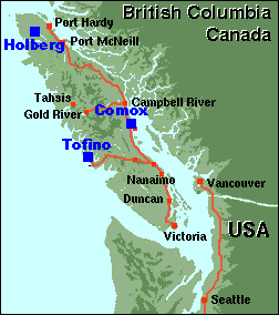
Map 1 is courtesy Comox Valley Chamber of Commerce.
Map 2 is courtesy BC Ministry of Environment and Parks.
Map 3 is courtesy Energy, Mines and Resources Canada.
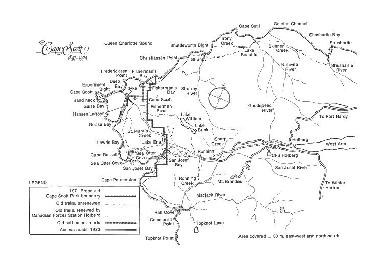
Map 4 is courtesy Jim Frey.
|
Updated: March 30, 2003
|