Grostenquin, France
Support Photographs
The Remains of 2 Wing Grostenquin
Click on the description text to view the photograph.
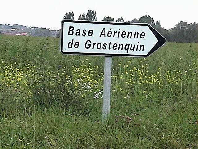
Road sign pointing towards the airfield at the intersection of Route D79 and the access road to the station - September 2001.
Courtesy Dave McNaught.
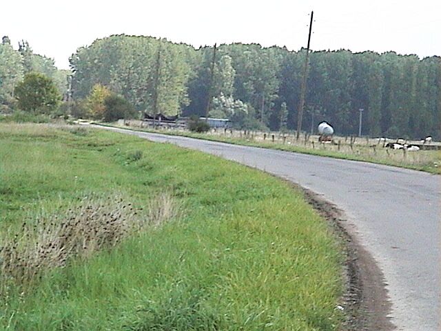
The access road approaching the main gate. Note the size of the trees - September 2001.
Courtesy Dave McNaught.
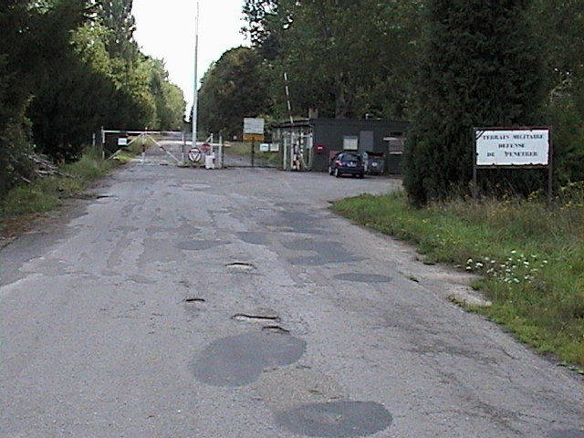
Approaching the main gate - September 2001.
Courtesy Dave McNaught.
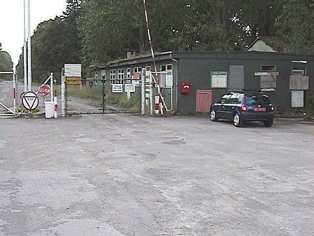
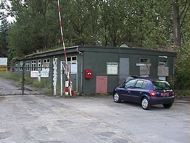
The guard house at the main gate - September 2001.
Courtesy Dave McNaught.
The guard house at the main gate - September 2001.
Courtesy Dave McNaught.
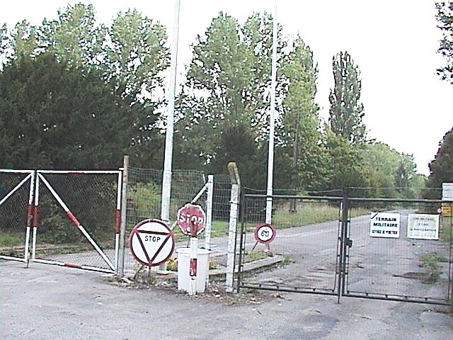
Looking into the station area from the main gate - September 2001.
Courtesy Dave McNaught.
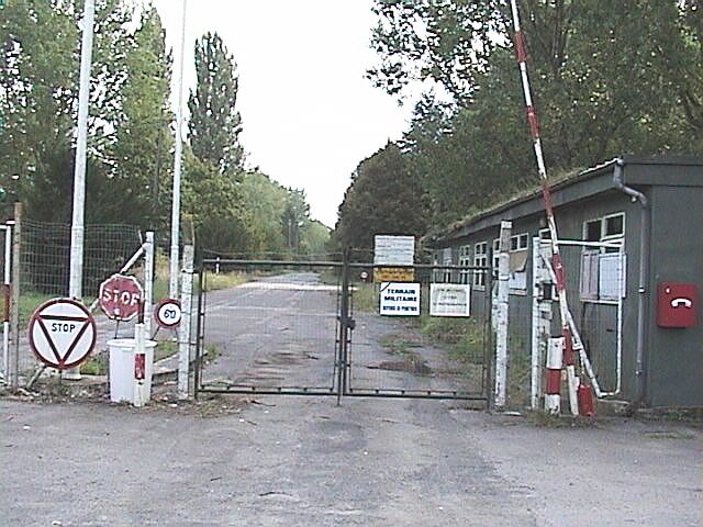
The main gate at the airfield - September 2001.
Courtesy Dave McNaught.
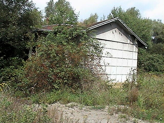
Remains of an abandoned building just outside of the main gate area - September 2001.
Courtesy Dave McNaught.
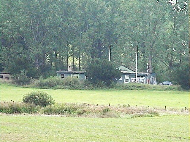
Looking towards the area where the tailer park was located - September 2001.
Courtesy Dave McNaught.
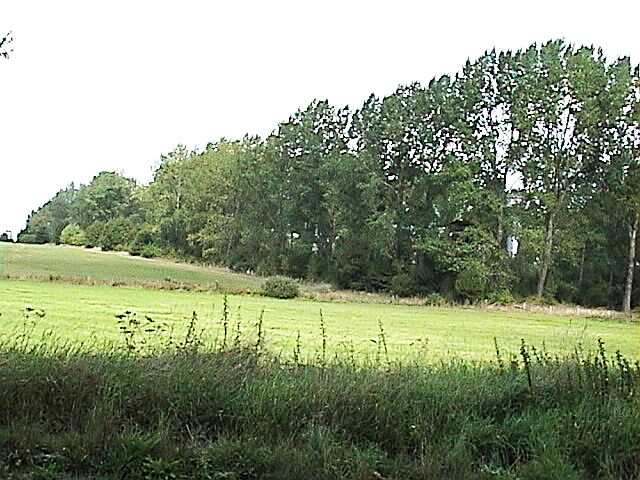
The watch tower and water tower are barely visible. These were in the vicinity of the station trailer park - September 2001.
Courtesy Dave McNaught.
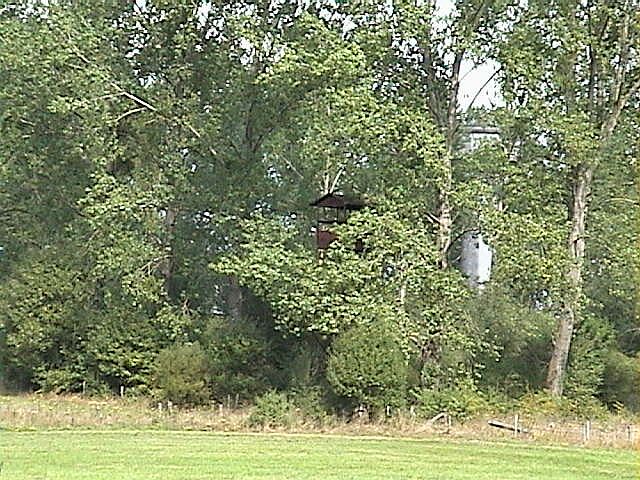
A watch tower in the trailer park area - September 2001.
Courtesy Dave McNaught.
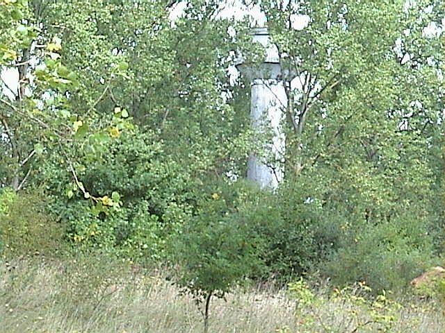
The water tower was located in the trailer park area - September 2001.
Courtesy Dave McNaught.
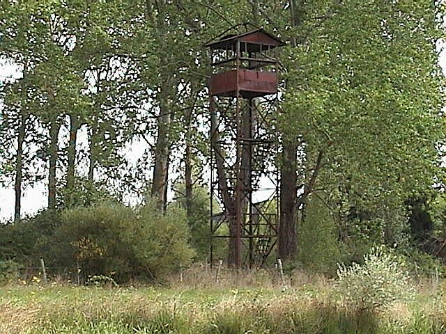
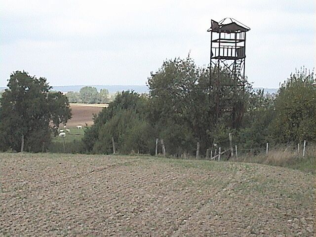
Remains of a watch tower - September 2001.
Courtesy Dave McNaught.
Looking back at the main gate and the guard house from a position near the location of the trailer park - September 2001.
Courtesy Dave McNaught.
Photographic Credits
All photos are used with permission.
Return to the Details Page
Return to Top of Page
About This Page
Updated: December 25, 2001