Click on the description text to view the photograph.
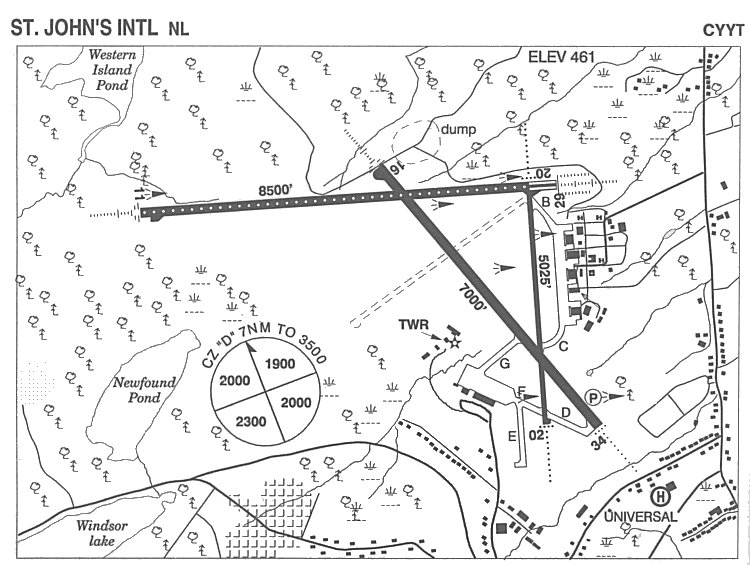
- Airfield diagram of the St. John's airport - 2004.
This airfield served as RCAF Station Torbay until 1964 when it bcame a civilian airfield.
Courtesy Bill Cann.
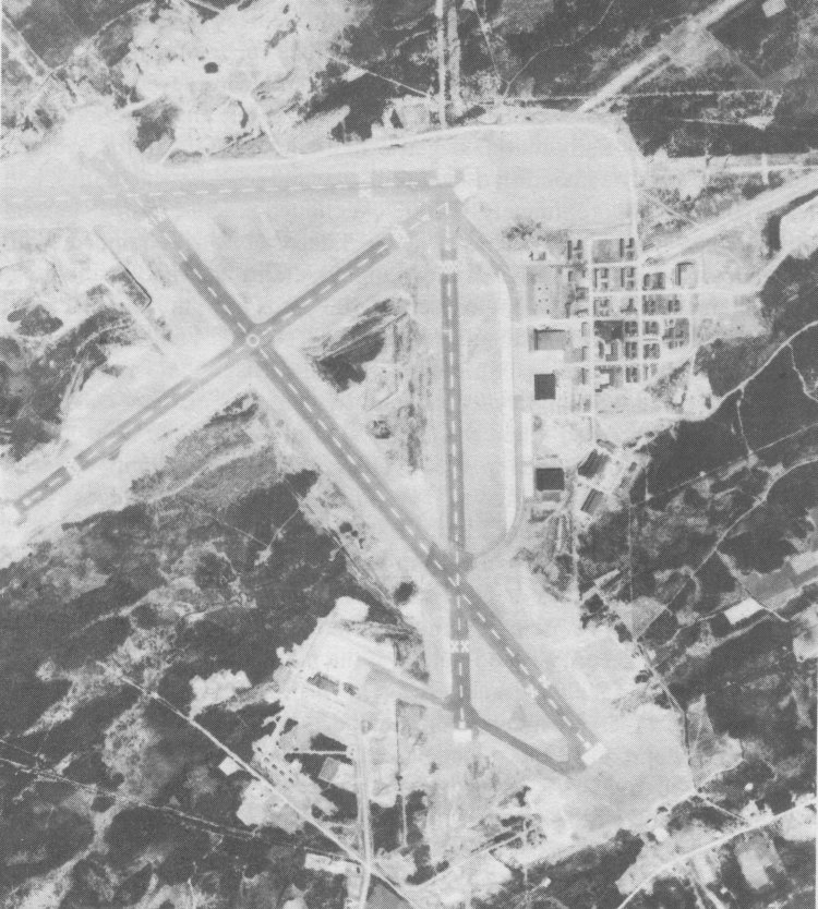
- Aerial photo of RCAF Station Torbay - 15 May 1962.
Courtesy NAPL VRR-2320.
|