Click on the description text to view the photograph.
- Airfield diagram for the Red Deer Regional airport - August 2004.
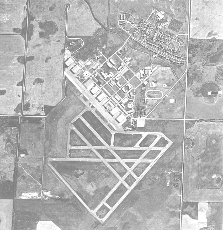
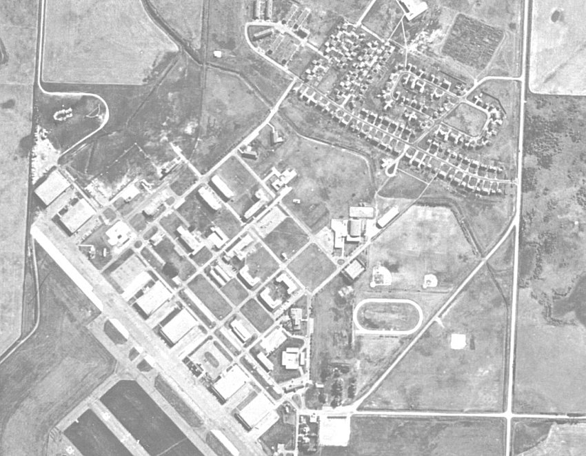
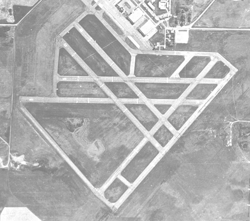
This airfield was formerly known as RCAF Station Penhold.
Courtesy Bill Cann.
- Aerial photo of RCAF Station Penhold - 1965.
Courtesy Ron Brennen.
- Aerial photo of the domestic site at RCAF Station Penhold - 1965.
Courtesy Ron Brennen.
- Aerial photo of the runways at RCAF Station Penhold - 1965.
Note the standard wartime triangular pattern.
Courtesy Ron Brennen.
|