We have not been very successful with our attempts to determine what happened with the Pinetree Line during the 1950-1952 time period. A great deal of uncertainty remains - and that is the case with "The Mystery of Site N-30".
Military and civilian personnel from the United States and Canada were involved in many decisions during the early days of the Pinetree Line. Commitments were made, initial locations were selected and engineering surveys were completed for the eventual construction of what would end up as the Pinetree Line chain of long range radar stations. There appears to have been one exception to these initial agreements – and that is the location of Site N-30.
We have been able to determine that Site N-30 was initially intended to be constructed at Cape Chidley, which is on the northeastern side of Killinek Island. Killinek Island can be found at the very northern tip of Labrador and it is about 17 miles by 6 miles in area. There was a small settlement established at Port Burwell (now known as Kinniniq) which was located on the western side of Killinek Island.
The fact that Site N-30 was initially intended to be located on Killinek Island – as opposed to Resolution Island - is verified by supporting detail as follows:
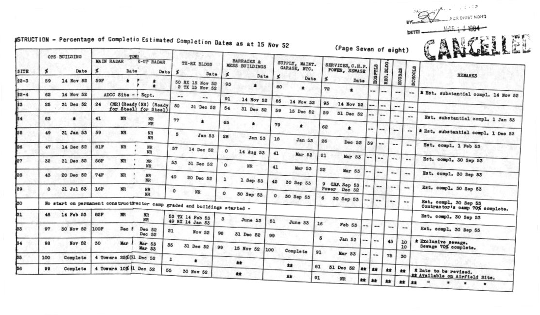
1 – Official RCAF documentation that indicates Pinetree progress at Site N-30 - 15 November 1952.
2 – Memories from Frank Kelson who proceeded to Cape Chidley - May 1952 to November 1952.
3 – Historical Report (Operation SUNAC) courtesy of Bernard Kessler - May 1952.
4 – Official RCAF documentation that indicates a Pinetree Line radar station at Burwell - April 1952.
5 – Memories from Del Burton who proceeded to Cape Chidley - October 1951.
6 - Official RCAF documentation regarding ConAC and RCAF Negotiations - 30 November 1950.
So – the "Mystery of Site N-30" remains. It is safe to assume the following:
1 – The initial location for Site N-30 was recommended and accepted as a location on Killinek Island (probably in the 1950-1951 time period).
2 – Supply ships made trips to the Cape Chidley area during 1951 and 1952 – bringing men and supplies for the proposed Pinetree Line radar station which was to be constructed at this location. 3 – Somewhere along the way (probably very late 1952 or early 1953) a decision was made to relocate Site N-30 to Resolution Island.Do you happen to have any information which can be used towards clearing "The Mystery of Site N-30?"
Click on the description text to view the item. |
This page is located at
http://www.pinetreeline.org/other8an.html
Updated: October 10, 2002