St. Paul, NS
|
Site #:
|
76 Radio Unit
|
|
Type:
|
Microwave Early Warning Anti-Submarine, Surface Radar
|
|
Callsign:
|
|
|
Construction Dates:
|
Start - July 1944
|
|
|
End - October 1944
|
|
Operational Date:
|
November 1944
|
|
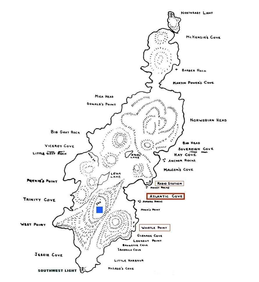
Location:
|
Map #1 -- Map #2
|
|
Radar Equipment:
|
MEW/AS
|
|
|
|
Closure Date:
|
|
|